
1956 Map of Roscoe
USGS Topo · Published 1957About this map
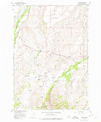
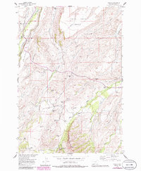
Agricultural family footprints dominate this mid-century landscape in Carbon County, where the transition from high plains to mountain foothills is marked by a network of ranching homesteads and vital irrigation canals. The settlement of Roscoe serves as a primary reference point near the banks of Rosebud Creek, while further southeast, the small community of Luther sits at the base of Sheep Mountain. The map is particularly valuable for genealogists and local historians, as it identifies numerous individual family holdings such as the Youngstrom Ranch, Luoma Ranch, and multiple properties belonging to the Boggio family, including the Alex Boggio Place, Joe Boggio Ranch, and Chas Boggio Ranch.
Find a feature on this map
34 named features on this map. Tap any name to fly to it.
Don’t see what you’re looking for? This feature index may not catch every label — zoom into the map to look around manually.
Map Details
Editions of this 1956 Roscoe Map
3 editions found
Other maps of this area

1898 · Granite Mountain District
USGS Topo · 1:125,000

1932 · Red Lodge No 2
USGS Topo · 1:48,000

1932 · Nye No 1
USGS Topo · 1:48,000

1954 · Billings
USGS Topo · 1:250,000
1956 · Fishtail
USGS Topo · 1:24,000

1956 · Alpine
USGS Topo · 1:62,500

1956 · Mackay Ranch
USGS Topo · 1:24,000

1956 · Roscoe NW
USGS Topo · 1:24,000

1956 · Roscoe NE
USGS Topo · 1:24,000

1956 · Mount Maurice
USGS Topo · 1:62,500