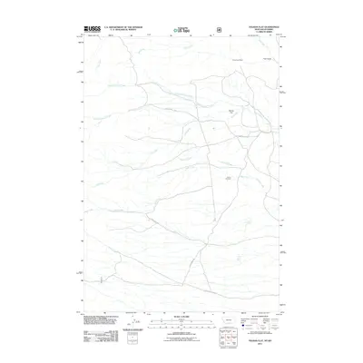
2011 Map of Tolman Flat
USGS Topo · Published 2011About this map
Tolman Flat and its surrounding drainage systems define this high-plains landscape along the Wyoming-Montana border. The terrain is marked by a network of seasonal and perennial waterways, including the north and south forks of Grove Creek, Gold Creek, and Dilworth Creek. Historical transport routes such as the Meeteetsee Trl and Ruby Creek Rd traverse the area, connecting remote land holdings. Local industry and genealogy are anchored by the Grove Creek Mine near Tiger Gulch and the Tolman Cemetery, which sits central to the eponymous flat. Several water sources, notably Gorner Spring and Three Corner Spring, appear as critical landmarks in an otherwise arid environment where elevation is defined by gulches and shifting creek beds.
Find a feature on this map
18 named features on this map. Tap any name to fly to it.
Don’t see what you’re looking for? This feature index may not catch every label — zoom into the map to look around manually.
Map Details
Editions of this 2011 Tolman Flat Map
This is the sole edition of this map. No revisions or reprints were ever made.
Other maps of this area

1944 · Red Lodge
USGS Topo · 1:62,500

1950 · Clark
USGS Topo · 1:62,500

1950 · Deep Lake
USGS Topo · 1:62,500

1954 · Billings
USGS Topo · 1:250,000

1955 · Cody
USGS Topo · 1:250,000

1956 · Mount Maurice
USGS Topo · 1:62,500

1957 · Billings
USGS Topo · 1:250,000

1958 · Billings
USGS Topo · 1:250,000

1958 · Cody
USGS Topo · 1:250,000

1962 · Cody
USGS Topo · 1:250,000