2020s Maps of Carbon County, Montana
Explore 112 historic maps of Carbon County from the 2020s. These maps offer a rare glimpse into what life looked like during the 2020s — showing old roads, neighborhoods, homes, and landmarks that have changed or disappeared over time.
Whether you're researching your family's past, planning a metal detecting trip, or studying how Carbon County's landscape evolved across the 2020s, these high-resolution maps are a powerful tool for exploring the history of this region.
- Focus on a specific era: All maps on this page are from the 2020s, giving you a focused view of this time period.
- See what’s changed: Compare century-old streets, trails, and buildings to today's modern landscape using overlays and satellite layers.
- Research with precision: Use these maps for genealogy, historical research, land use analysis, or educational projects.
- View, download, or print: Maps are fully viewable online in high resolution, and can be downloaded or printed for your own records.
Start exploring Carbon County's history through authentic maps from the 2020s. This is your window into the past.
Carbon County, MT maps
(112)- 2020 Map of Warren, 2020 Print
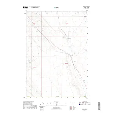 2020 Warren2020 Print · USGSSouthern Montana's high plains and canyons are captured in this recent survey of the Carbon County borderlands. Genealogists and historians can trace the paths of old transportation routes like Railroad Grade Rd and the vital waters of the Frannie Canal near Warren.
 - 2020 Map of Laurel, 2020 Print
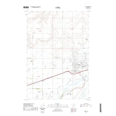 2020 Laurel2020 Print · USGSLaurel and the river valleys of Yellowstone County are captured in this recent survey during a period of sustained growth. Researchers can trace the town's expansion toward Spurling and identify local landmarks like the Laurel Cem and the extensive Big Ditch irrigation system.
 - 2020 Map of Edgar, 2020 Print
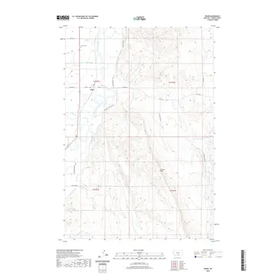 2020 Edgar2020 Print · USGSCarbon County, Montana, is documented in the modern era as a region where the river valley and high ridges meet. Researchers can trace the path of the Clarks Fork Yellowstone River and locate historic local sites like Rockvale Cem and the Edgar Canal.
 - 2020 Map of Mystery Cave, 2020 Print
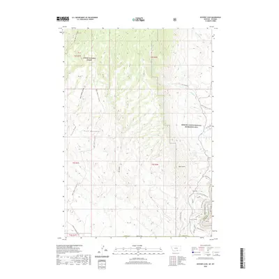 2020 Mystery Cave2020 Print · USGSThe high plateaus of Carbon County meet the dramatic rims of the Bighorn River breaks in the early twenty-first century. Outdoor historians and researchers can trace backcountry routes like Barry's Island Trail and find landmarks such as Ranger's Delight or Sullivans Knob.
 - 2020 Map of Montaqua, 2020 Print
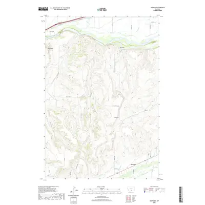 2020 Montaqua2020 Print · USGSCarbon County's agricultural and river landscape is captured here in recent years, spanning the divide between the high terrain and the river valley. Researchers can trace irrigation history and local routes like Dutton Canal, Rock Creek, and the settlement of Montaqua.
 - 2020 Map of Hunters Creek, 2020 Print
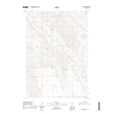 2020 Hunters Creek2020 Print · USGSThe Montana-Wyoming borderlands are defined by high-elevation passes and seasonal drainages in this 2020 survey. Researchers can trace the path of Bob Cat Pass Rd and locate vital water sources like Hunters Reservoir and Jones Reservoir.
 - 2020 Map of Little Finger Ridge, 2020 Print
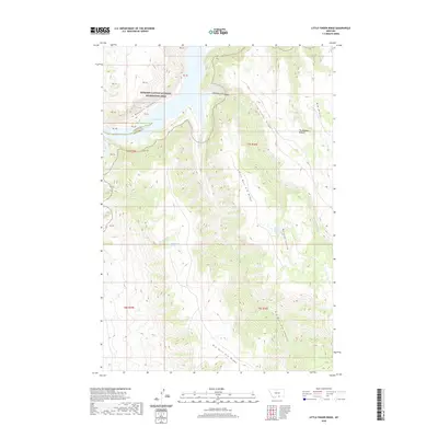 2020 Little Finger Ridge2020 Print · USGSThe Montana high country at the border of Carbon and Big Horn counties is shown here during the early twenty-first century. Researchers can trace the rugged drainages of Bighorn Canyon or locate remote water sources like Black Tail Spring and Whiskey Coulee Spring.
 - 2020 Map of Dead Indian Hill, 2020 Print
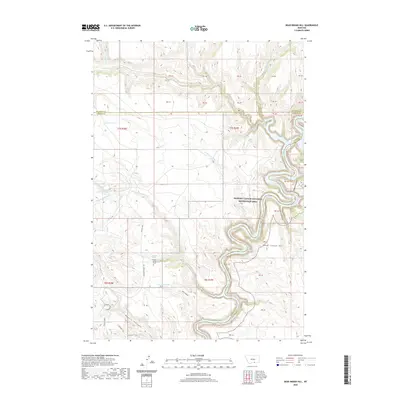 2020 Dead Indian Hill2020 Print · USGSCarbon County in 2020 remains a landscape of high ridges and deep drainages along the Big Horn County line. Researchers can locate the isolated Annerer Spring Grave and trace the paths of Bad Pass Rd and S Pasture Trail.
 - 2020 Map of Bridger, 2020 Print
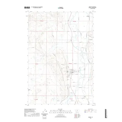 2020 Bridger2020 Print · USGSThe river valley at Bridger is captured here during the 2020s, showing the intersection of local agriculture and the Clarks Fork Yellowstone River. Researchers can trace property lines and irrigation networks like the Golden Ditch or locate burial sites at Bridger Cem.
 - 2020 Map of Hatcher Pass, 2020 Print
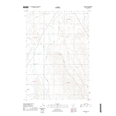 2020 Hatcher Pass2020 Print · USGSCarbon County ranching and river-fed agriculture are meticulously detailed in this recent survey. Local historians can trace family land via Teepies Ranch Ln or study the vital irrigation network of the Golden Ditch and Sand Cr Canal.
 - 2020 Map of Mossmain SW, 2020 Print
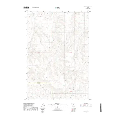 2020 Mossmain SW2020 Print · USGSThe Yellowstone and Carbon County line comes alive in this contemporary topographical study of the Montana breaks. Genealogists and land researchers can trace family-named routes like Price Hill Rd and Moser Dome Rd along Cottonwood Creek.
 - 2020 Map of Red Pryor Mountain, 2020 Print
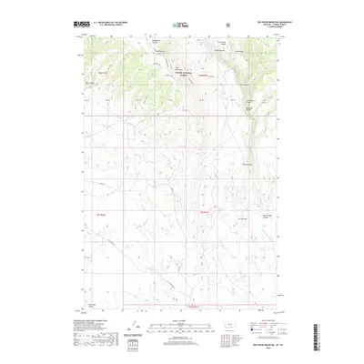 2020 Red Pryor Mountain2020 Print · USGSThe Pryor Mountains of Carbon County come into focus in this recent survey of the high-country landscape. Explorers can trace remote routes like Gyp Springs Rd and locate landmarks such as Red Pryor Ice and Petroglyph Canyon.
 - 2020 Map of Wade, 2020 Print
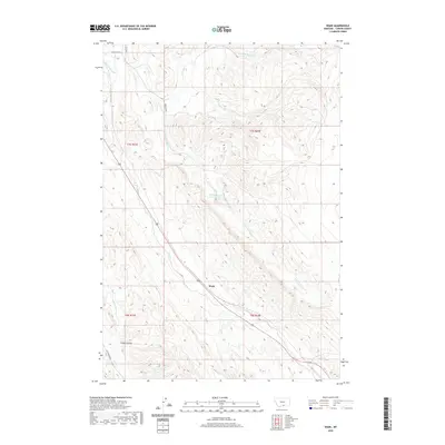 2020 Wade2020 Print · USGSCarbon County, Montana, at the start of the 2020s shows a landscape of mountain drainages and high-plains water management. Map collectors can trace the path of the Mutual Ditch and find local landmarks such as Wade, Depression Reservoir, and Castle Coulee.
 - 2020 Map of Bowler, 2020 Print
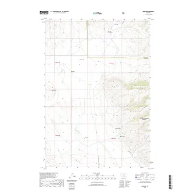 2020 Bowler2020 Print · USGSThe high plains of Carbon and Big Horn Counties come alive in this contemporary map of the northern frontier. Genealogists and local historians can trace the foundations of the community at Bowler, the Bowler Cem, and the old Railroad Grade Rd.
 - 2020 Map of East Pryor Mountain, 2020 Print
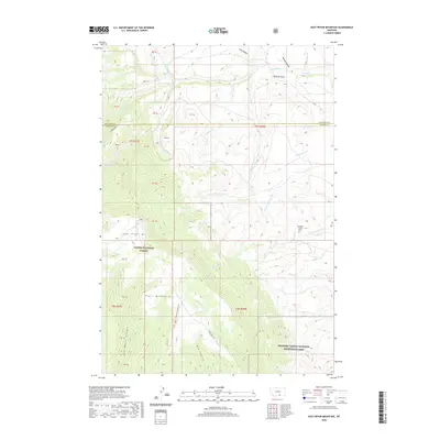 2020 East Pryor Mountain2020 Print · USGSCarbon County's high-plateau country comes into focus in this contemporary survey of the Montana borderlands. Local historians can trace the paths of Sykes Ridge Rd and locate landmarks like the Deadman Creek Grave and the Buffalo Jump.
 - 2020 Map of Big Ice Cave, 2020 Print
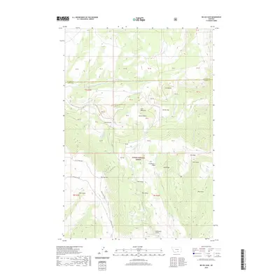 2020 Big Ice Cave2020 Print · USGSThe high ridges of the Pryor Mountains come into focus in this recent survey of the Montana-Wyoming borderlands. Researchers can trace remote mountain routes like Red Pryor Divide and find specific landmarks such as Big Ice Cave and Roberts Spring.
 - 2020 Map of Fromberg, 2020 Print
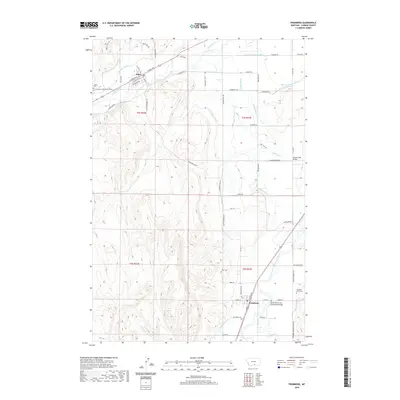 2020 Fromberg2020 Print · USGSThe Clark's Fork Valley comes into focus through its intricate irrigation network and early Montana settlements during the twenty-first century. Researchers can trace family history at the Gebo Cem or locate historical bridge crossings like the Elbow Creek Bridge near Joliet.
 - 2020 Map of Silesia, 2020 Print
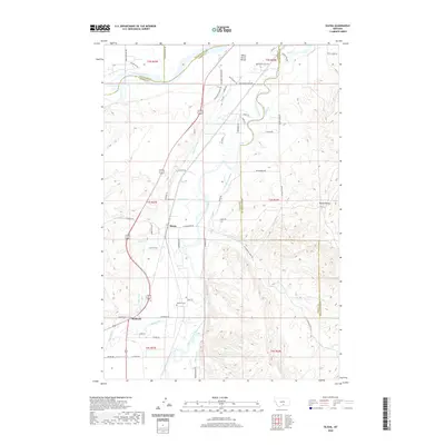 2020 Silesia2020 Print · USGSThe Clark Fork valley of south-central Montana comes into focus here, defined by the irrigation network that transformed the prairie. Genealogists and historians can trace family-named sites like Howell Grave and infrastructure like the Big Ditch and Edgar Canal.
 - 2020 Map of Hillsboro, 2020 Print
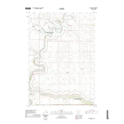 2020 Hillsboro2020 Print · USGSThe Montana-Wyoming borderlands are captured here in the early twenty-first century, showing the intersection of ranching history and recreation. Trace the route of Barry's Landing Rd toward Barrys Island or locate the unique geological formation of the Natural Corrals.
 - 2020 Map of Pryor NW, 2020 Print
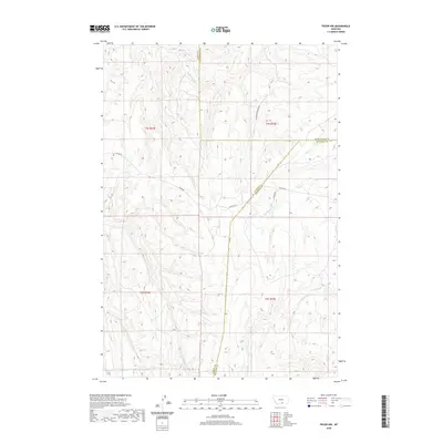 2020 Pryor NW2020 Print · USGSThe intersection of Carbon, Yellowstone, and Big Horn counties is captured here in the early twenty-first century. Researchers can trace the complex drainage networks of Wolf Cr, N Fork Fivemile Cr, and the remote route of Cottonwood Creek Rd.
 - 2020 Map of Bear Canyon, 2020 Print
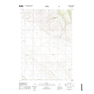 2020 Bear Canyon2020 Print · USGSThe high ridges and deep canyons along the Montana-Wyoming border are documented here in the early twenty-first century. Researchers can trace the path of the Stockman Trail and locate cultural landmarks like Petroglyph Canyon.
 - 2020 Map of Bluewater, 2020 Print
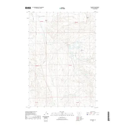 2020 Bluewater2020 Print · USGSCarbon County ranching country is mapped here in the early twenty-first century, showing a landscape defined by vital water rights and high-plains terrain. Genealogists and local historians can locate the Teeples Ranch Cem and trace the paths of O'Connor Ditch and Big Bluewater Spring.
 - 2020 Map of Section House Draw, 2020 Print
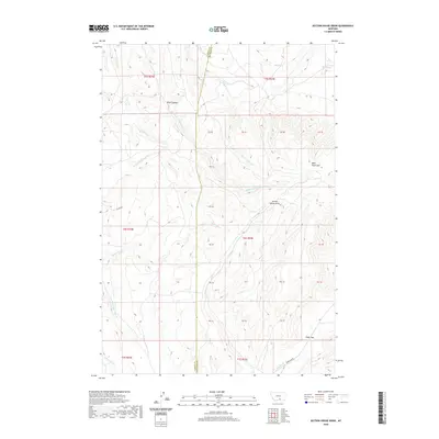 2020 Section House Draw2020 Print · USGSThe high ridges of Carbon County are shown in detail as they appeared recently, centered on the strategic passage of Pryor Gap. Researchers can trace the drainages of Section House Draw and Black Canyon or locate remote water sources like Sand Spring.
 - 2020 Map of Long Draw, 2020 Print
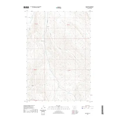 2020 Long Draw2020 Print · USGSCarbon County ranchlands and high plains drainage are documented in this recent survey. Local historians and land researchers can trace water rights through the River View Ditch or follow historic access routes along Long Draw Rd and S Silvertip Rd.
 - 2020 Map of Tolman Flat, 2020 Print
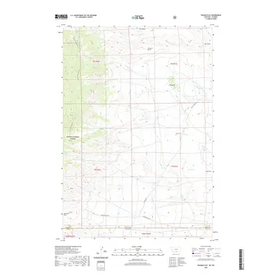 2020 Tolman Flat2020 Print · USGSPark County, Wyoming and Carbon County, Montana meet along this high-plains landscape as it appeared in recent years. Genealogists and researchers can locate the Tolman Cem and trace the paths of Ruby Creek Rd across Tolman Flat.
Showing maps 1-25 of 112
Top cities of Carbon County
- Red Lodge historical maps
- Bridger historical maps
- Joliet historical maps
- Fromberg historical maps
- Bearcreek historical maps
Frequently asked questions
- What are the different types of historical maps available for Carbon County?
- What is the oldest map of Carbon County?
- Where can I purchase historical maps of Carbon County for my home or office?
- Where can I download high-res historical maps of Carbon County?
- Are there historical topographic maps available for Carbon County?
- Is there historical aerial imagery available for Carbon County?
- Where are historical maps of Carbon County sourced from?