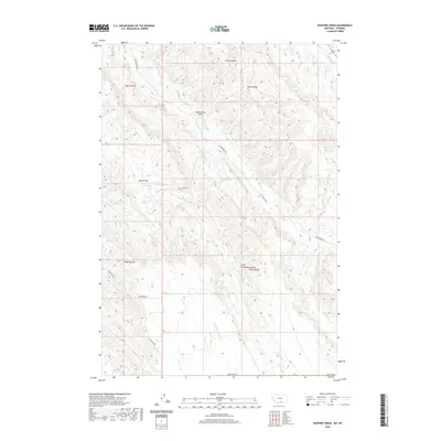
2020 Map of Hunters Creek
USGS Topo · Published 2020About this map
Bobcat Pass serves as a central landmark in this portion of Carbon Co, where the high-elevation drainage network of the Montana-Wyoming border region is clearly defined. The terrain is characterized by a series of deep erosional features, including Weatherman Draw, Castle Coulee, and Little Cottonwood Draw, which channel seasonal runoff toward larger perennial streams.
Find a feature on this map
21 named features on this map. Tap any name to fly to it.
Don’t see what you’re looking for? This feature index may not catch every label — zoom into the map to look around manually.
Map Details
Editions of this 2020 Hunters Creek Map
This is the sole edition of this map. No revisions or reprints were ever made.
Other maps of this area

1954 · Billings
USGS Topo · 1:250,000

1955 · Cody
USGS Topo · 1:250,000

1957 · Billings
USGS Topo · 1:250,000

1958 · Billings
USGS Topo · 1:250,000

1958 · Cody
USGS Topo · 1:250,000

1962 · Cody
USGS Topo · 1:250,000

1966 · Elk Basin
USGS Topo · 1:24,000

1966 · Elk Basin NW
USGS Topo · 1:24,000

1966 · Deaver Reservoir
USGS Topo · 1:24,000

1969 · Warren
USGS Topo · 1:24,000