Old Maps of Ekalaka, Montana for Hiking & Exploration
Hike through history with 12 historic maps of Ekalaka. Explore old trails, ghost towns, and forgotten backroads — perfect for outdoor adventurers and local explorers.
- Rediscover forgotten places: Map out old mining camps, roads, and footpaths that no longer exist on modern maps.
- Layer with modern tools: Combine with LiDAR or satellite views to plan hikes through historical terrain.
- Made for exploration: Popular among hikers, overlanders, and local history lovers.
Use these maps to find adventure and explore the hidden past of Ekalaka.
Ekalaka, MT maps
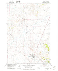
(12)- 1954 Map of Ekalaka, 1966 Print
 1954 Ekalaka1966 Print · USGSSoutheastern Montana and its borderlands with the Dakotas and Wyoming appear here in the mid-fifties, showing a remote ranching landscape. Genealogists can trace family roots through numerous rural landmarks like the Sherwin School, St Marys Ch, and Powderville.3 unique versions available
 - 1956 Map of Ekalaka
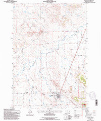
 1956 Ekalaka1956 Print · USGSSoutheast Montana and the Wyoming borderlands are shown here in the mid-fifties, capturing a landscape of remote ranching outposts and isolated country schools. Genealogists can trace family roots through landmarks like Boyes, Alzada, and Peabody School.
 - 1958 Map of Ekalaka
 1958 Ekalaka1958 Print · USGSSoutheast Montana in the mid-fifties remains a landscape of isolated ranching outposts and scattered schoolhouses. Genealogists and researchers can trace rural life through landmarks like Belltower, the McClary Ranger Station, and numerous family-named schools such as Davidson School.
 - 1965 Map of Ekalaka
 1965 Ekalaka1965 Print · USGSThe High Plains of Montana and Wyoming appear here in the mid-1950s, as a sprawling landscape of remote ranchlands and rural school districts. Researchers can trace the locations of many small landmarks like Mitchell School, Broadus, and the Humbolt Hills.
 - 1979 Map of Ekalaka
 1979 Ekalaka1979 Print · USGSEkalaka and the surrounding Carter County high plains are captured here in the late seventies. Researchers can trace local landmarks like Wilder Butte, the town Cem, and the transition from prairie creeks to the Ekalaka Hills.
 - 1982 Map of Ekalaka, 1983 Print
 1982 Ekalaka1983 Print · USGSEastern Montana ranching country and the tri-state border lands are meticulously documented in the early 1980s. Local historians can trace the remote settlement of Ekalaka, the landmarks of Medicine Rocks, and the rugged profiles of Chalk Buttes and Long Pine Hills.
 - 1993 Map of Ekalaka, 1996 Print
 1993 Ekalaka1996 Print · USGSThe ranchlands of Carter County are documented here in the early nineties, centered on the community of Ekalaka. Researchers can trace old travel routes like the Miles City Cutoff Road and locate landmarks from Wilder Butte to the local Cemetery.
 - 2011 Map of Ekalaka, 2011 Print
 2011 Ekalaka2011 Print · USGSCovers Ekalaka, including Carter County, United States, and other nearby areas
 - 2014 Map of Ekalaka, 2014 Print
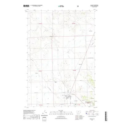
 2014 Ekalaka2014 Print · USGSCovers Ekalaka, including Carter County, United States, and other nearby areas
 - 2017 Map of Ekalaka, 2017 Print
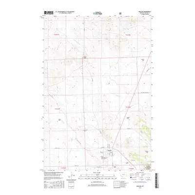 2017 Ekalaka2017 Print · USGSCovers Ekalaka, including Carter County, United States, and other nearby areas
 - 2020 Map of Ekalaka, 2020 Print
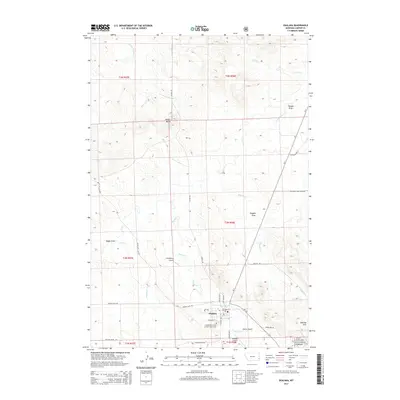
 2020 Ekalaka2020 Print · USGSCovers Ekalaka, including Carter County, United States, and other nearby areas
 - 2024 Map of Ekalaka, 2024 Print
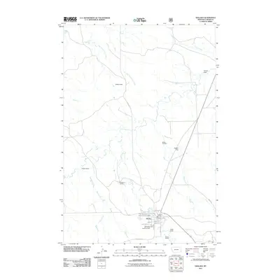
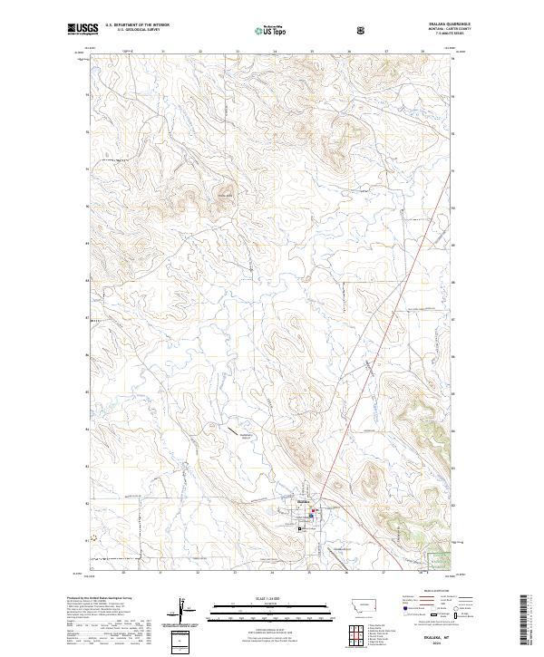 2024 Ekalaka2024 Print · USGSEkalaka and the surrounding Carter County high plains are documented here in the early twenty-first century. Researchers can locate the Carter County Courthouse, trace the Miles City Cutoff, and find family sites near Beaver Lodge Cem.
End of results
Showing maps 1-12 of 12
Frequently asked questions
- What are the different types of historical maps available for Ekalaka?
- What is the oldest map of Ekalaka?
- Where can I purchase historical maps of Ekalaka for my home or office?
- Where can I download high-res historical maps of Ekalaka?
- Are there historical topographic maps available for Ekalaka?
- Is there historical aerial imagery available for Ekalaka?
- Where are historical maps of Ekalaka sourced from?