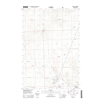
2014 Map of Ekalaka
USGS Topo · Published 2014About this map
Ekalaka serves as the focal point for this eastern Montana landscape, situated at the edge of the Ekalaka Hills and the northern reaches of the Custer National Forest. The town's grid is detailed with street names like Chicago Ave and Speelmon St E, while local history is anchored by the Independent Order of Odd Fellows Cem to the south. The surrounding terrain is a network of draws and creeks, including Flasted Draw and the E Fork O'Fallon Cr, which carve through the high plains. This 2014 survey illustrates a region defined by its wide-reaching ranch roads and local infrastructure, featuring both the Ekalaka Airport and Castleberry Airport. Notable landmarks like Wilder Butte stand as topographical anchors in an area where routes like the Miles City Cutoff and Old Baker Hwy connect the town to the broader prairie.
Find a feature on this map
39 named features on this map. Tap any name to fly to it.
Don’t see what you’re looking for? This feature index may not catch every label — zoom into the map to look around manually.
Map Details
Editions of this 2014 Ekalaka Map
This is the sole edition of this map. No revisions or reprints were ever made.
Other maps of this area
1953 · Miles City
USGS Topo · 1:250,000
1954 · Ekalaka
USGS Topo · 1:250,000
1956 · Ekalaka
USGS Topo · 1:250,000
1957 · Miles City
USGS Topo · 1:250,000
1958 · Miles City
USGS Topo · 1:250,000
1958 · Ekalaka
USGS Topo · 1:250,000
1965 · Ekalaka
USGS Topo · 1:250,000
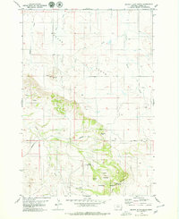
1979 · Beaver Flats South
USGS Topo · 1:24,000
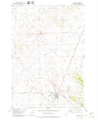
1979 · Ekalaka
USGS Topo · 1:24,000
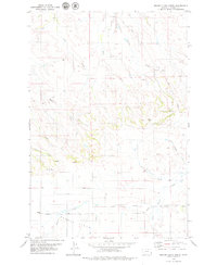
1979 · Beaver Flats North
USGS Topo · 1:24,000