
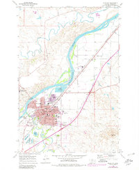
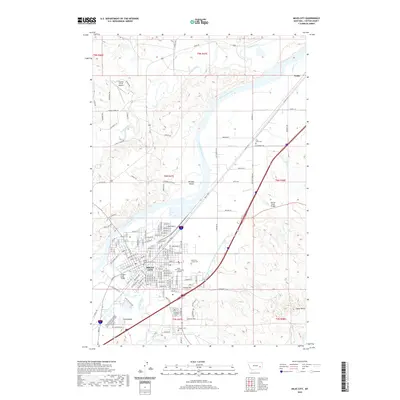
1958 Map of Miles City
USGS Topo · Published 1958About this map
The Yellowstone River and Powder River define the ranching and rail landscape of eastern Montana in this mid-century survey. Miles City serves as the regional anchor, flanked by the Fort Keogh National Wildlife Reservation and marked by the prominent Signal Butte. The map reveals a highly decentralized rural society where small rural schools, such as Medicine Rocks School and Lame Jones School, and isolated ranches like the Devlin Ranch and Hyman Ranch, are the primary landmarks across the high plains.
Find a feature on this map
175 named features on this map. Tap any name to fly to it.
Don’t see what you’re looking for? This feature index may not catch every label — zoom into the map to look around manually.
Map Details
Editions of this 1958 Miles City Map
This is the sole edition of this map. No revisions or reprints were ever made.
Historical Maps of Miles City Through Time
10 maps found
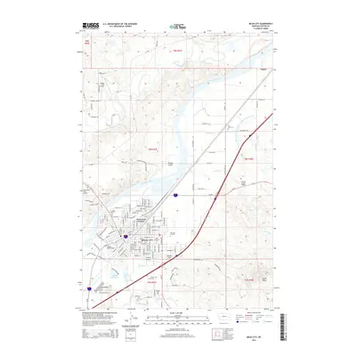
1953 Miles City
Custer County, MT

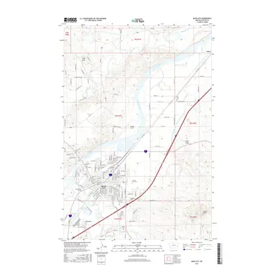
1957 Miles City
Custer County, MT
1958 Miles City
Custer County, MT
1968 Miles City
Custer County, MT
1980 Miles City
Custer County, MT
2011 Miles City
Custer County, MT
2014 Miles City
Custer County, MT
2017 Miles City
Custer County, MT
2020 Miles City
Custer County, MT
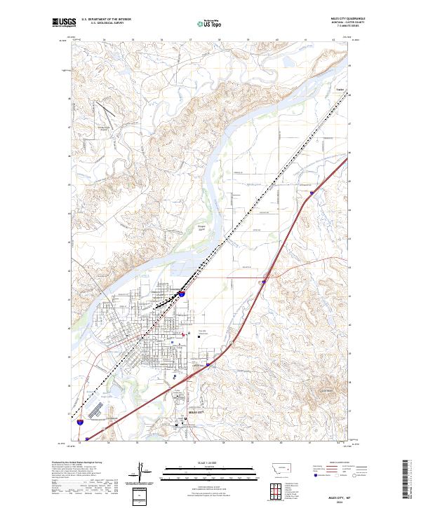
2024 Miles City
Custer County, MT