Old Maps of Rocky Crossing, Montana for Genealogy
Trace your family roots with 12 historic maps of Rocky Crossing. These high-res maps reveal old neighborhoods, homesites, landmarks, and streets — helping you uncover where your ancestors lived and how the area evolved over time.
- Explore historic neighborhoods: Identify where your relatives may have lived in the 1800s or 1900s.
- Compare maps over time: Trace the changes in streets, buildings, and landmarks for multi-generational research.
- Perfect for genealogy & ancestry research: Used by family historians and researchers to map out lineage and migration.
These maps are an incredible resource for exploring your personal connection to Rocky Crossing's past.
Rocky Crossing, MT maps
(12)- 1904 Map of Boxelder, 1959 Print
 1904 Boxelder1959 Print · USGSChouteau County was a land of sprawling cattle ranches and newly laid tracks at the start of the 1900s. Genealogists and local historians can trace early homesteads like Armentrout's Ranch and follow the route of the Great Northern R R.
 - 1906 Map of Boxelder
 1906 Boxelder1906 Print · USGSThe northern Montana high plains are captured here in the early twentieth century as the railroad transformed the ranching economy. Genealogists and local historians can locate early family holdings like Schwartz's Ranch and Wedeking's Ranch or trace the Great Northern RR through Boxelder.
 - 1919 Map of Big Sandy
 1919 Big Sandy1919 Print · USGSBig Sandy and the plains of Northern Montana are captured here just after the Great War, as the railroad and river trade defined local life. Genealogists and historians can trace the Great Northern Railway Line through Boxelder and Virgelle, or locate the Ferry crossing on the Missouri River.2 unique versions available
 - 1954 Map of Shelby, 1967 Print
 1954 Shelby1967 Print · USGSNorthern Montana's Hi-Line is captured in the mid-fifties, showing a landscape shaped by the Great Northern rail and early oil development. Trace family roots in Shelby and Conrad, or locate rural landmarks like Goose Bill Butte and the Rocky Boys Indian Reservation.3 unique versions available
 - 1958 Map of Shelby
 1958 Shelby1958 Print · USGSNorthern Montana’s high plains and the Sweetgrass Hills come to life in the late fifties as the Tiber Dam begins to reshape the Marias River valley. Genealogists and historians can trace rail-town lineages along the Great Northern line and locate sites like the Hull Coal Mine or Sweet Grass.
 - 1969 Map of Box Elder, 1972 Print
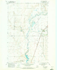 1969 Box Elder1972 Print · USGSBox Elder and the western edge of the Rocky Boy's Reservation are captured in the late sixties as the rail and ranching economy thrived. Genealogists and local historians can trace the Burlington Northern line and locate the Cem and Rocky Crossing.
 - 1984 Map of Lonesome Lake
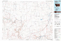 1984 Lonesome Lake1984 Print · USGSNorth-central Montana at the dawn of the 1980s reveals a landscape of high plains and deep coulees. Genealogists and historians can trace the Burlington Northern rail line through Big Sandy, Verona, and the Rocky Boys Indian Reservation.
 - 2011 Map of Box Elder, 2011 Print
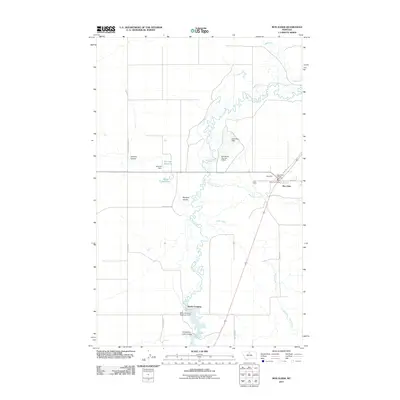 2011 Box Elder2011 Print · USGSBig Sandy Creek wind through this Chouteau County landscape during the early twenty-first century. Researchers can trace the water management systems of the high plains, from the Rocky Crossing Reservoir Dam to landmarks in Box Elder.
 - 2014 Map of Box Elder, 2014 Print
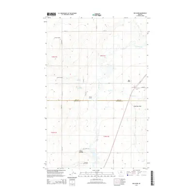 2014 Box Elder2014 Print · USGSThe high plains along the Hill and Chouteau county line come into focus during the early twenty-first century. Researchers can trace rural developments and water features like Box Elder, Rocky Boy West, and the historic transit point at Rocky Crossing.
 - 2017 Map of Box Elder, 2017 Print
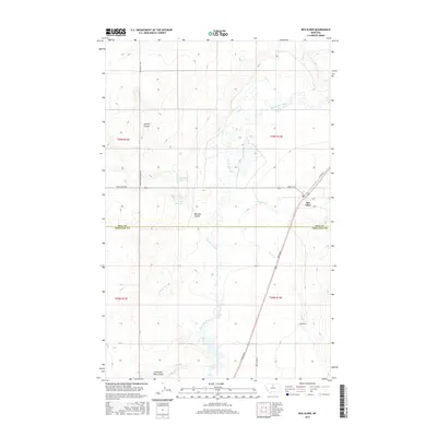 2017 Box Elder2017 Print · USGSThe northern Montana plains near the Hill and Chouteau county line are centered on the community of Box Elder in the late 2010s. Local researchers can trace water rights and landscape history through features like Schmidt Reservoir, Lonesome Lake, and Big Sandy Creek.
 - 2020 Map of Box Elder, 2020 Print
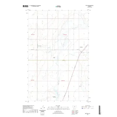 2020 Box Elder2020 Print · USGSThe high plains of North-Central Montana are mapped here in the modern era, centered on the settlement of Box Elder. Researchers can trace the intersections of Broadway and Main St W or locate local landmarks like Schmidt Reservoir and Jerome Coulee.
 - 2024 Map of Box Elder, 2024 Print
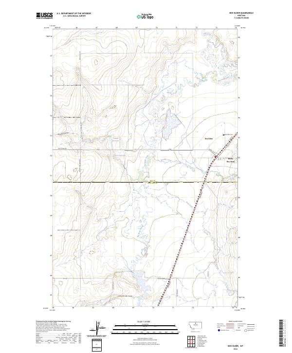 2024 Box Elder2024 Print · USGSBox Elder and the northern Montana plains are documented here in the early twenty-first century. Genealogists and local historians can trace the town grid and find Box Elder Cem, Rocky Boy West, and local landmarks like Schmidt Reservoir.
End of results
Showing maps 1-12 of 12
Top cities near Rocky Crossing
Frequently asked questions
- What are the different types of historical maps available for Rocky Crossing?
- What is the oldest map of Rocky Crossing?
- Where can I purchase historical maps of Rocky Crossing for my home or office?
- Where can I download high-res historical maps of Rocky Crossing?
- Are there historical topographic maps available for Rocky Crossing?
- Is there historical aerial imagery available for Rocky Crossing?
- Where are historical maps of Rocky Crossing sourced from?