Old Maps of Four Buttes, Montana for Academic Research
Study the evolution of Four Buttes with 9 high-resolution historic maps. Whether you're teaching, researching, or modeling changes in land use, these maps provide essential visual documentation of urban, environmental, and geographic change.
- Analyze long-term change: Track patterns in development, transportation, and natural features.
- Ideal for environmental or urban studies: Support academic projects with primary historical map data.
- Use in the classroom or lab: Educators and researchers rely on these maps to bring historical context to life.
These maps are a powerful tool for teaching, research, and visualizing how Four Buttes has changed over the decades.
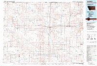
Four Buttes, MT maps
(9)- 1954 Map of Wolf Point, 1967 Print
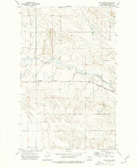
 1954 Wolf Point1967 Print · USGSNortheastern Montana and the North Dakota borderlands are shown here in the mid-fifties, dominated by the Missouri River and the Fort Peck Indian Reservation. Genealogists and historians can trace the Great Northern rail line through river towns like Poplar and Culbertson or locate northern border outposts like the U S Custom Office at Raymond.2 unique versions available
 - 1958 Map of Wolf Point
 1958 Wolf Point1958 Print · USGSNortheastern Montana is shown during the mid-fifties, featuring the extensive Fort Peck Indian Reservation and the Missouri River valley. Researchers can trace the Great Northern railroad through Wolf Point or locate sites like Slab Crossing and the Coal Mine near Medicine Lake.
 - 1973 Map of Four Buttes, 1976 Print
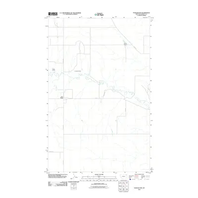
 1973 Four Buttes1976 Print · USGSDaniels County was a landscape of rail and ranching in the early seventies, centered on the Four Buttes settlement. You can trace the Burlington Northern line or locate rural landmarks like the Oil Well and La Pierre Coulee.
 - 1983 Map of Scobey, 1984 Print
 1983 Scobey1984 Print · USGSNorthern Montana prairie life during the early eighties centered on the grain-hauling rail lines and the winding Poplar River forks. Genealogists and historians can trace old homesteads near Whitetail, Peerless, and the Fort Peck Indian Reservation Boundary.
 - 2011 Map of Four Buttes, 2011 Print
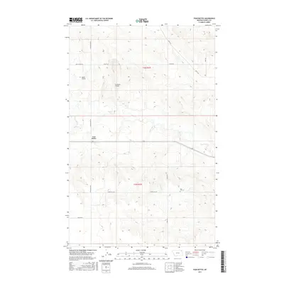
 2011 Four Buttes2011 Print · USGSCovers Four Buttes, including Daniels County, United States, and other nearby areas
 - 2014 Map of Four Buttes, 2014 Print
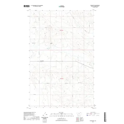
 2014 Four Buttes2014 Print · USGSCovers Four Buttes, including Daniels County, United States, and other nearby areas
 - 2017 Map of Four Buttes, 2017 Print
 2017 Four Buttes2017 Print · USGSCovers Four Buttes, including Daniels County, United States, and other nearby areas
 - 2020 Map of Four Buttes, 2020 Print
 2020 Four Buttes2020 Print · USGSCovers Four Buttes, including Daniels County, United States, and other nearby areas
 - 2024 Map of Four Buttes, 2024 Print
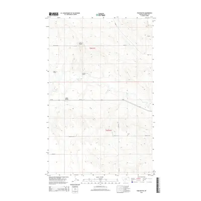
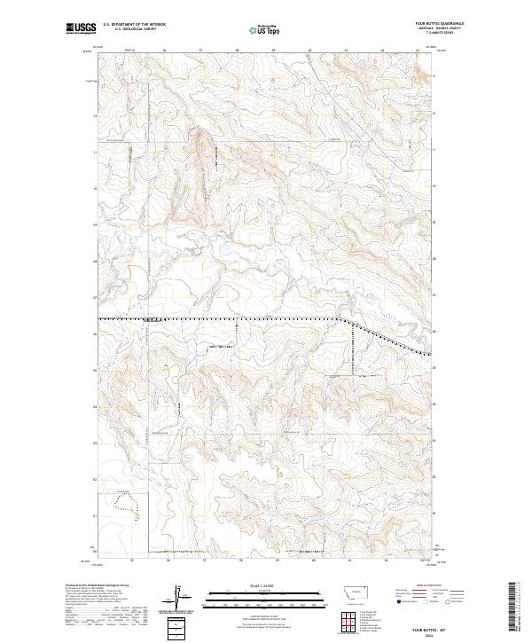 2024 Four Buttes2024 Print · USGSThe community of Four Buttes and the surrounding high plains of Daniels County are shown here in modern detail. Researchers can trace land use and rural infrastructure via family-named routes like Timmons Hill Rd and Chabot Rd near Spring Creek.
End of results
Showing maps 1-9 of 9
Top cities near Four Buttes
Frequently asked questions
- What are the different types of historical maps available for Four Buttes?
- What is the oldest map of Four Buttes?
- Where can I purchase historical maps of Four Buttes for my home or office?
- Where can I download high-res historical maps of Four Buttes?
- Are there historical topographic maps available for Four Buttes?
- Is there historical aerial imagery available for Four Buttes?
- Where are historical maps of Four Buttes sourced from?