Old Maps of Grass Range, Montana for Metal Detecting
Plan your next treasure hunt with 9 historic maps of Grass Range. Find old homesites, ghost towns, trails, and gathering spots that may be lost to time — perfect for identifying promising metal detecting locations.
- Locate forgotten sites: Uncover places like long-lost settlements, abandoned rail lines, or gathering spots.
- Plan better hunts: Use map overlays combined with LiDAR or satellite views to narrow in on historically rich areas.
- Made for detectorists: Thousands of hobbyists use these maps to discover relics, coins, and hidden history.
Use these historic maps to boost your research and find new opportunities beneath the surface of Grass Range.
Grass Range, MT maps
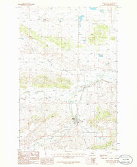
(9)- 1954 Map of Lewistown, 1967 Print
 1954 Lewistown1967 Print · USGSCentral Montana at the height of the mid-century rail era reveals a landscape shaped by the Judith River and high mountain ranges. Trace the old lines of the Great Northern through Lewistown and Denton, or locate sites like Giltedge and Landusky.3 unique versions available
 - 1959 Map of Lewistown
 1959 Lewistown1959 Print · USGSCentral Montana in the mid-1950s shows a landscape defined by the winding Missouri River and the rise of the South Moccasin Mtns. Researchers can trace the rail lines of the Great Northern through towns like Winifred and locate the Cat Creek Oil Field.3 unique versions available
 - 1986 Map of Grass Range
 1986 Grass Range1986 Print · USGSGrass Range and the surrounding Fergus County ranchlands are documented here in the mid-eighties, showing a landscape shaped by water and former rail lines. Researchers can trace the Old Railroad Grade and locate local landmarks such as Fords, the Cem, and Chippewa Creek.
 - 1986 Map of Winnett, 1994 Print
 1986 Winnett1994 Print · USGSCentral Montana ranching country is shown here in the mid-1980s as the rail era had given way to modern highways. Researchers can trace the Old Railroad Grade past Teigen or locate family sites near Wild Horse Lake and the War Horse National Wildlife Refuge.
 - 2011 Map of Grass Range, 2011 Print
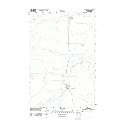 2011 Grass Range2011 Print · USGSCovers Grass Range, including Fergus County, United States, and other nearby areas
 - 2014 Map of Grass Range, 2014 Print
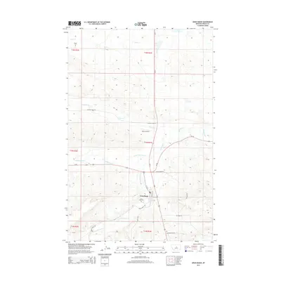 2014 Grass Range2014 Print · USGSCovers Grass Range, including Fergus County, United States, and other nearby areas
 - 2017 Map of Grass Range, 2017 Print
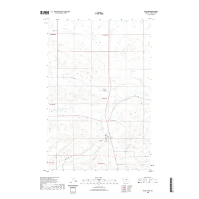
 2017 Grass Range2017 Print · USGSCovers Grass Range, including Fergus County, United States, and other nearby areas
 - 2020 Map of Grass Range, 2020 Print
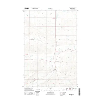
 2020 Grass Range2020 Print · USGSCovers Grass Range, including Fergus County, United States, and other nearby areas
 - 2024 Map of Grass Range, 2024 Print
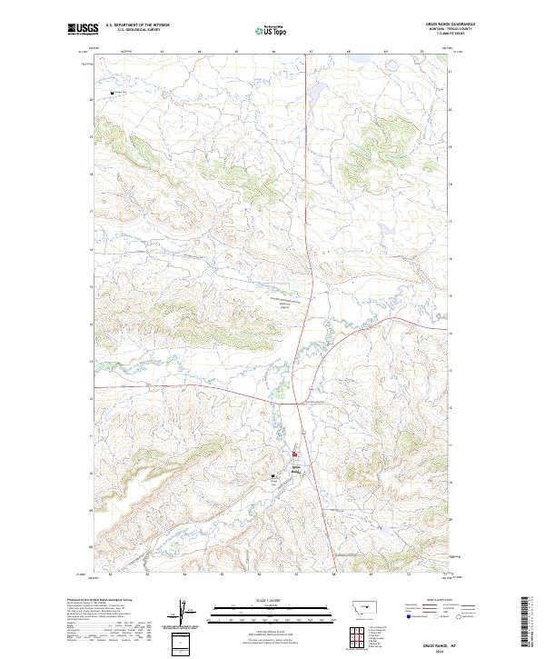 2024 Grass Range2024 Print · USGSGrass Range and the surrounding Fergus County ranchlands are documented here in the early twenty-first century. Genealogists and local historians can locate Grass Range Cem, Dengel Cem, and landmarks like Matovich Airport along the forks of McDonald Creek.
End of results
Showing maps 1-9 of 9
Frequently asked questions
- What are the different types of historical maps available for Grass Range?
- What is the oldest map of Grass Range?
- Where can I purchase historical maps of Grass Range for my home or office?
- Where can I download high-res historical maps of Grass Range?
- Are there historical topographic maps available for Grass Range?
- Is there historical aerial imagery available for Grass Range?
- Where are historical maps of Grass Range sourced from?