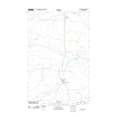
2011 Map of Grass Range
USGS Topo · Published 2011About this map
The town of Grass Range serves as a critical junction in Fergus County, where several drainages of the McDonald Creek system converge. This 2011 survey illustrates the settlement's infrastructure, including the Grass Range Post Office and the Grass Range Rural Fire Dept, centered around the intersection of major regional routes like Tyler Cutoff. The landscape is defined by its ranching heritage, with family-named landmarks such as Degner Ranch Rd, Griffith Ranch Rd, and the Arther Dengel Number 1 Dam reflecting the long-standing management of the local water resources.
Find a feature on this map
26 named features on this map. Tap any name to fly to it.
Don’t see what you’re looking for? This feature index may not catch every label — zoom into the map to look around manually.
Map Details
Editions of this 2011 Grass Range Map
This is the sole edition of this map. No revisions or reprints were ever made.
Other maps of this area
1954 · Roundup
USGS Topo · 1:250,000
1954 · Lewistown
USGS Topo · 1:250,000
1958 · Roundup
USGS Topo · 1:250,000
1959 · Lewistown
USGS Topo · 1:250,000
1986 · Briggs Coulee
USGS Topo · 1:24,000
1986 · Grass Range
USGS Topo · 1:24,000
1986 · Grass Range NW
USGS Topo · 1:24,000
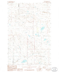
1986 · Teigen NW
USGS Topo · 1:24,000
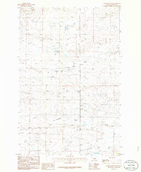
1986 · Grass Range NE
USGS Topo · 1:24,000
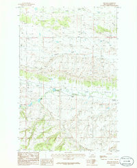
1986 · Fish Dam
USGS Topo · 1:24,000