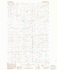
1986 Map of Grass Range NE
USGS Topo · Published 1986About this map
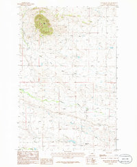
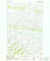
The rolling plains of Fergus County, Montana, are defined by a network of drainage systems feeding the larger Missouri River basin. This 1986 provisional survey reveals the detailed contours of the open range, where South Fork Bear Creek and Brickyard Creek carve subtle paths across the prairie landscape. The topographic data, based on early 1980s aerial photography, highlights the importance of seasonal water sources like Fords Creek in this semi-arid environment. These creek beds and their surrounding sections provide a look at the land division patterns within Townships 16 and 17 North, illustrating the vast, open character of the central Montana landscape before more modern developments may have altered the local hydrology or fencing lines.
Find a feature on this map
5 named features on this map. Tap any name to fly to it.
Don’t see what you’re looking for? This feature index may not catch every label — zoom into the map to look around manually.
Map Details
Editions of this 1986 Grass Range NE Map
This is the sole edition of this map. No revisions or reprints were ever made.
Other maps of this area

1954 · Lewistown
USGS Topo · 1:250,000

1959 · Lewistown
USGS Topo · 1:250,000

1985 · Roy
USGS Topo · 1:24,000
1985 · Bear Creek Reservoir
USGS Topo · 1:24,000
1985 · Bohemian Corners
USGS Topo · 1:24,000

1986 · Briggs Coulee
USGS Topo · 1:24,000
1986 · Grass Range
USGS Topo · 1:24,000
1986 · Grass Range NW
USGS Topo · 1:24,000

1986 · Teigen NW
USGS Topo · 1:24,000
1986 · Fish Dam
USGS Topo · 1:24,000