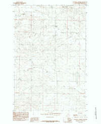
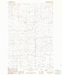
1985 Map of Bohemian Corners
USGS Topo · Published 1985About this map
Bohemian Corners serves as the central namesake for this 1985 Fergus County survey, which documents a landscape defined by an intricate network of drainage systems in central Montana. The topography is dominated by the winding paths of Box Elder Creek and Bear Creek, where the terrain transitions through a series of complex coulees and ridges typical of this prairie region. Just south of the northern border, Coal Hill rises above the surrounding valleys, providing a significant geographical landmark in an area otherwise characterized by sparse settlement and wide-open rangeland. The presence of Blood Creek in the northwest corner further illustrates the importance of water sources in the development and navigation of this territory. This mapping effort, based on aerial photography from the late 1970s, captures the rural infrastructure of the era, centered on the intersection of Highway 191 and the local landmarks that defined life in this portion of Montana.
Find a feature on this map
7 named features on this map. Tap any name to fly to it.
Don’t see what you’re looking for? This feature index may not catch every label — zoom into the map to look around manually.
Map Details
Editions of this 1985 Bohemian Corners Map
This is the sole edition of this map. No revisions or reprints were ever made.
Other maps of this area

1954 · Lewistown
USGS Topo · 1:250,000

1959 · Lewistown
USGS Topo · 1:250,000

1985 · Griffee Coulee
USGS Topo · 1:24,000

1985 · Sloan Reservoir
USGS Topo · 1:24,000

1985 · Roy
USGS Topo · 1:24,000
1985 · Roy NW
USGS Topo · 1:24,000
1985 · Bear Creek Reservoir
USGS Topo · 1:24,000
1986 · Grass Range NW
USGS Topo · 1:24,000

1986 · Teigen NW
USGS Topo · 1:24,000
1986 · Grass Range NE
USGS Topo · 1:24,000