
1986 Map of Briggs Coulee
USGS Topo · Published 1986About this map
Mc Donald Creek meanders through the heart of this landscape, carving a valley that separates the higher plateaus from the lower drainage basins. This 1986 provisional survey captures the transition between Fergus and Petroleum counties, highlighting a rural environment defined by water management and previous industrial efforts. The presence of multiple locations marked as Flowing Well points to the importance of artesian water sources for ranching and livestock in this semi-arid region. Trace the path of the Old Railroad Grade, which provides a clear indicator of former transportation infrastructure through the rugged terrain. North of the creek, the land rises toward the drainage of Briggs Coulee, illustrating the complex topography that governed early settlement and land use patterns in central Montana.
Find a feature on this map
5 named features on this map. Tap any name to fly to it.
Don’t see what you’re looking for? This feature index may not catch every label — zoom into the map to look around manually.
Map Details
Editions of this 1986 Briggs Coulee Map
This is the sole edition of this map. No revisions or reprints were ever made.
Other maps of this area

1954 · Roundup
USGS Topo · 1:250,000

1954 · Lewistown
USGS Topo · 1:250,000

1958 · Roundup
USGS Topo · 1:250,000

1959 · Lewistown
USGS Topo · 1:250,000

1986 · Snoose Creek
USGS Topo · 1:24,000

1986 · Wild Horse Lake
USGS Topo · 1:24,000
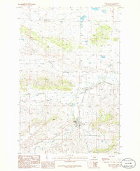
1986 · Grass Range
USGS Topo · 1:24,000

1986 · Teigen NW
USGS Topo · 1:24,000
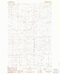
1986 · Grass Range NE
USGS Topo · 1:24,000

1986 · Milk Springs
USGS Topo · 1:24,000