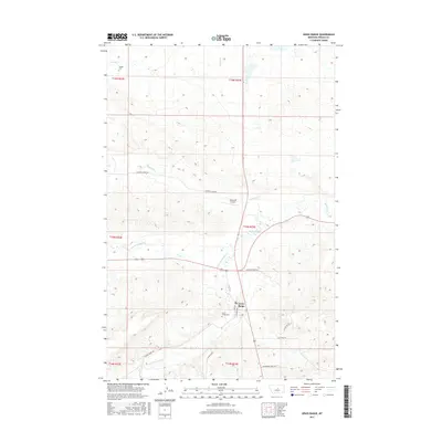
2017 Map of Grass Range
USGS Topo · Published 2017About this map
Grass Range serves as the central hub of this Fergus County landscape, where the prairie meets a complex network of waterways. The town's grid, anchored by Main St and Charters Ave, sits near the confluence of several vital streams including McDonald Cr and its northern and southern forks. For genealogists and local historians, the presence of the Dengel Cem to the northwest and the Grass Range Cem just south of town provides essential anchors for family research. The infrastructure of the area is defined by the intersection of remote ranch roads and local thoroughfares like Spotted Horse Rd and Chippewa Creek Rd. Aviation history is represented by the Matovich Airport, while the surrounding terrain is marked by named coulees and the meandering path of Fords Cr.
Find a feature on this map
25 named features on this map. Tap any name to fly to it.
Don’t see what you’re looking for? This feature index may not catch every label — zoom into the map to look around manually.
Map Details
Editions of this 2017 Grass Range Map
This is the sole edition of this map. No revisions or reprints were ever made.
Other maps of this area
1954 · Roundup
USGS Topo · 1:250,000
1954 · Lewistown
USGS Topo · 1:250,000
1958 · Roundup
USGS Topo · 1:250,000
1959 · Lewistown
USGS Topo · 1:250,000
1986 · Briggs Coulee
USGS Topo · 1:24,000
1986 · Grass Range
USGS Topo · 1:24,000
1986 · Grass Range NW
USGS Topo · 1:24,000
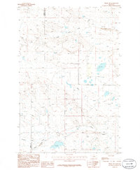
1986 · Teigen NW
USGS Topo · 1:24,000
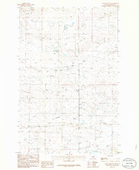
1986 · Grass Range NE
USGS Topo · 1:24,000
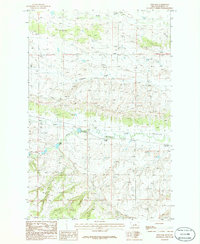
1986 · Fish Dam
USGS Topo · 1:24,000