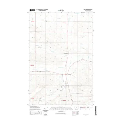
2014 Map of Grass Range
USGS Topo · Published 2014About this map
Grass Range serves as a central hub in this high-plains landscape, where the confluence of several branches of McDonald Creek meets a network of highway corridors. The settlement pattern is defined by its position at the intersection of Us-87, MT-200, and MT-19, indicating its importance for regional travel and transport. Local history and genealogy are preserved at the Grass Range Cem and the more isolated Dengel Cem to the northwest. The terrain is deeply etched by a complex drainage system including Fords Cr, Chippewa Cr, and the N Fork McDonald Cr. While the town follows a structured grid with names like W 7th St and Charters Ave, the surrounding country is accessed via ranch roads and trails such as Spotted Horse Rd and Elk Butte Trl.
Find a feature on this map
27 named features on this map. Tap any name to fly to it.
Don’t see what you’re looking for? This feature index may not catch every label — zoom into the map to look around manually.
Map Details
Editions of this 2014 Grass Range Map
This is the sole edition of this map. No revisions or reprints were ever made.
Other maps of this area
1954 · Roundup
USGS Topo · 1:250,000
1954 · Lewistown
USGS Topo · 1:250,000
1958 · Roundup
USGS Topo · 1:250,000
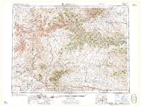
1959 · Lewistown
USGS Topo · 1:250,000
1986 · Briggs Coulee
USGS Topo · 1:24,000
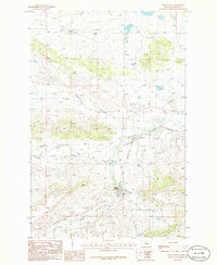
1986 · Grass Range
USGS Topo · 1:24,000
1986 · Grass Range NW
USGS Topo · 1:24,000
1986 · Teigen NW
USGS Topo · 1:24,000
1986 · Grass Range NE
USGS Topo · 1:24,000
1986 · Fish Dam
USGS Topo · 1:24,000