Old Maps of Maiden, Montana for Metal Detecting
Plan your next treasure hunt with 11 historic maps of Maiden. Find old homesites, ghost towns, trails, and gathering spots that may be lost to time — perfect for identifying promising metal detecting locations.
- Locate forgotten sites: Uncover places like long-lost settlements, abandoned rail lines, or gathering spots.
- Plan better hunts: Use map overlays combined with LiDAR or satellite views to narrow in on historically rich areas.
- Made for detectorists: Thousands of hobbyists use these maps to discover relics, coins, and hidden history.
Use these historic maps to boost your research and find new opportunities beneath the surface of Maiden.
Maiden, MT maps
(11)- 1941 Map of Judith Peak, 1959 Print
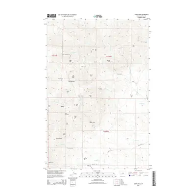
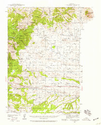 1941 Judith Peak1959 Print · USGSFergus County's high-altitude mining districts and military ruins are frozen in time just before the war. Trace the remnants of a gold boom at Maiden and Giltedge, or locate the Ruins of Fort Maginnis and several rural schoolhouses like Skaggs Sch.3 unique versions available
 - 1944 Map of Judith Peak
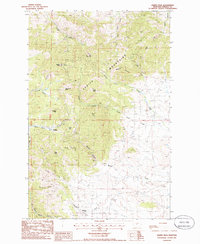
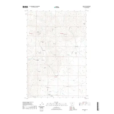
 1944 Judith Peak1944 Print · USGSThe Judith Mountains mining districts are shown in high detail during the early 1940s, from high peaks to the prairie rail lines. Genealogists and historians can locate the Ruins of Fort Maginnis, the Fort Maginnis Cem, and numerous mines like the Old Glory Mine.2 unique versions available
 - 1954 Map of Lewistown, 1967 Print
 1954 Lewistown1967 Print · USGSCentral Montana at the height of the mid-century rail era reveals a landscape shaped by the Judith River and high mountain ranges. Trace the old lines of the Great Northern through Lewistown and Denton, or locate sites like Giltedge and Landusky.3 unique versions available
 - 1959 Map of Lewistown
 1959 Lewistown1959 Print · USGSCentral Montana in the mid-1950s shows a landscape defined by the winding Missouri River and the rise of the South Moccasin Mtns. Researchers can trace the rail lines of the Great Northern through towns like Winifred and locate the Cat Creek Oil Field.3 unique versions available
 - 1978 Map of Lewistown, 1994 Print
 1978 Lewistown1994 Print · USGSThe heart of central Montana comes alive in the late seventies, centered on the hub of Lewistown and the high summits of the Judith Mountains. Researchers can trace the Burlington Northern rail lines and locate specific regional landmarks like Giltedge, Spring Creek Colony, and Moccasin.
 - 1985 Map of Judith Peak, 1986 Print
 1985 Judith Peak1986 Print · USGSFergus County mining country and the high peaks of the Judith Mountains are detailed in this mid-eighties survey. Genealogists and historians can trace the foundations of Maiden and Giltedge or locate several mines, ruins, and the Cem near Fords Creek.
 - 2011 Map of Judith Peak, 2011 Print
 2011 Judith Peak2011 Print · USGSCovers Maiden, including Giltedge, Fergus County, and other nearby areas
 - 2014 Map of Judith Peak, 2014 Print
 2014 Judith Peak2014 Print · USGSCovers Maiden, including Giltedge, Fergus County, and other nearby areas
 - 2017 Map of Judith Peak, 2017 Print
 2017 Judith Peak2017 Print · USGSCovers Maiden, including Giltedge, Fergus County, and other nearby areas
 - 2020 Map of Judith Peak, 2020 Print
 2020 Judith Peak2020 Print · USGSCovers Maiden, including Giltedge, Fergus County, and other nearby areas
 - 2024 Map of Judith Peak, 2024 Print
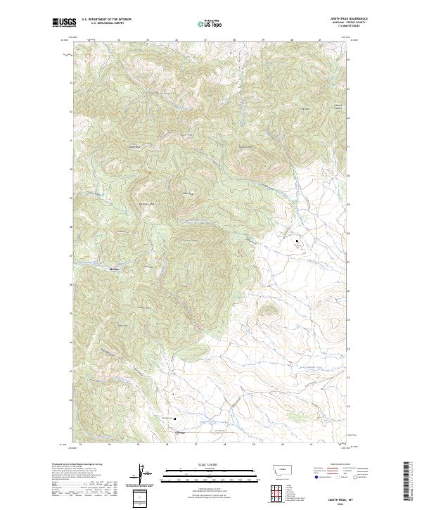 2024 Judith Peak2024 Print · USGSThe Judith Mountains are captured here in their modern state, preserving the footprints of gold-era settlements. Researchers can trace the old routes between Maiden and Giltedge, locating historic sites like the Fort Maginnis Cem and Gold Hill.
End of results
Showing maps 1-11 of 11
Top cities near Maiden
Frequently asked questions
- What are the different types of historical maps available for Maiden?
- What is the oldest map of Maiden?
- Where can I purchase historical maps of Maiden for my home or office?
- Where can I download high-res historical maps of Maiden?
- Are there historical topographic maps available for Maiden?
- Is there historical aerial imagery available for Maiden?
- Where are historical maps of Maiden sourced from?