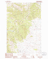
1985 Map of Judith Peak
USGS Topo · Published 1986About this map
The Judith Mountains dominate this central Montana landscape, where 1980s surveyors documented a terrain deeply shaped by the search for mineral wealth. The settlement of Maiden sits at the foot of Maiden Peak, surrounded by numerous prospects and mines that trace the historical mining activity of the Fergus County region. To the south, the community of Giltedge is located near the mouth of Maiden Canyon, while several ruins and a Cem near Fords Creek mark the sites of former habitation and industry.
Find a feature on this map
40 named features on this map. Tap any name to fly to it.
Don’t see what you’re looking for? This feature index may not catch every label — zoom into the map to look around manually.
Map Details
Editions of this 1985 Judith Peak Map
This is the sole edition of this map. No revisions or reprints were ever made.
Other maps of this area

1941 · Lewistown
USGS Topo · 1:62,500

1941 · Judith Peak
USGS Topo · 1:62,500

1944 · Lewistown
USGS Topo · 1:62,500

1944 · Judith Peak
USGS Topo · 1:62,500

1954 · Lewistown
USGS Topo · 1:250,000

1959 · Lewistown
USGS Topo · 1:250,000

1978 · Lewistown
USGS Topo · 1:100,000

1985 · Fergus
USGS Topo · 1:24,000

1985 · Hilger
USGS Topo · 1:24,000

1985 · Armells
USGS Topo · 1:24,000