Old Maps of Kalispell, Montana
Explore 13 old maps of Kalispell, spanning from 1943 to today. These high-resolution historic maps reveal how streets, neighborhoods, landmarks, and natural features evolved over time — perfect for genealogy, metal detecting, research, and local history exploration.
What you can do with these maps:
- See how Kalispell changed over time: Compare historical maps to modern-day views to trace roads, homesites, rail lines & more.
- View detailed metadata: Each map includes creators, publishers, year, scale, and archive source.
- Overlay maps with satellite & LiDAR: Visualize the past alongside modern tools to explore terrain & human change.
- Trusted historical sources: Maps sourced from the USGS, Library of Congress, and other archives.
- Access maps your way: View online, download high-res files, or order prints for personal or research use.
Start exploring old maps of Kalispell to uncover forgotten places, hidden landmarks, and the deep history beneath your feet.
Kalispell, MT maps
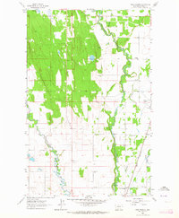
(13)- 1943 Map of Kalispell
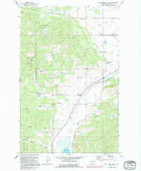
 1943 Kalispell1943 Print · USGSCovers Kalispell, including Whitefish, Columbia Falls, and other nearby areas
 - 1957 Map of Kalispell, 1967 Print
 1957 Kalispell1967 Print · USGSCovers Kalispell, including Whitefish, Columbia Falls, and other nearby areas3 unique versions available
 - 1960 Map of Kalispell
 1960 Kalispell1960 Print · USGSCovers Kalispell, including Whitefish, Columbia Falls, and other nearby areas
 - 1961 Map of Kalispell
 1961 Kalispell1961 Print · USGSCovers Kalispell, including Whitefish, Columbia Falls, and other nearby areas
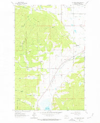
 - 1962 Map of Rose Crossing, 1964 Print
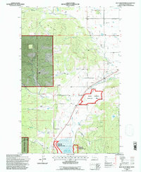
 1962 Rose Crossing1964 Print · USGSCovers Kalispell, including Whitefish, Forest Acres Mobile Home Park, and other nearby areas3 unique versions available
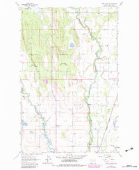
 - 1962 Map of Blue Grass Ridge, 1964 Print
 1962 Blue Grass Ridge1964 Print · USGSCovers Kalispell, including Batavia, Flathead County, and other nearby areas3 unique versions available
 - 1962 Map of Kalispell, 1964 Print
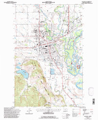
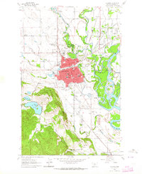 1962 Kalispell1964 Print · USGSCovers Kalispell, including Foys Canyon, Flathead County, and other nearby areas3 unique versions available
 - 1981 Map of Kalispell, 1982 Print
 1981 Kalispell1982 Print · USGSCovers Kalispell, including Whitefish, Columbia Falls, and other nearby areas
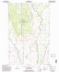
 - 1982 Map of Rose Crossing, 1983 Print
 1982 Rose Crossing1983 Print · USGSCovers Kalispell, including Whitefish, Forest Acres Mobile Home Park, and other nearby areas
 - 1991 Map of Blue Grass Ridge, 1995 Print
 1991 Blue Grass Ridge1995 Print · USGSCovers Kalispell, including Batavia, Flathead County, and other nearby areas
 - 1994 Map of Blue Grass Ridge, 1997 Print
 1994 Blue Grass Ridge1997 Print · USGSCovers Kalispell, including Batavia, Flathead County, and other nearby areas
 - 1994 Map of Kalispell, 1997 Print
 1994 Kalispell1997 Print · USGSCovers Kalispell, including Foys Canyon, Flathead County, and other nearby areas
 - 1994 Map of Rose Crossing, 1997 Print
 1994 Rose Crossing1997 Print · USGSCovers Kalispell, including Whitefish, Forest Acres Mobile Home Park, and other nearby areas
End of results
Showing maps 1-13 of 13
Top cities near Kalispell
Top neighborhoods of Kalispell
- Southwest historical maps
- Empire Estates historical maps
- Northridge Heights historical maps
- Silverbrook Estates historical maps
- Kalispell North historical maps
- Kalispell South historical maps
See more
Frequently asked questions
- What are the different types of historical maps available for Kalispell?
- What is the oldest map of Kalispell?
- Where can I purchase historical maps of Kalispell for my home or office?
- Where can I download high-res historical maps of Kalispell?
- Are there historical topographic maps available for Kalispell?
- Is there historical aerial imagery available for Kalispell?
- Where are historical maps of Kalispell sourced from?