Old Maps of Quigley, Montana for Metal Detecting
Plan your next treasure hunt with 14 historic maps of Quigley. Find old homesites, ghost towns, trails, and gathering spots that may be lost to time — perfect for identifying promising metal detecting locations.
- Locate forgotten sites: Uncover places like long-lost settlements, abandoned rail lines, or gathering spots.
- Plan better hunts: Use map overlays combined with LiDAR or satellite views to narrow in on historically rich areas.
- Made for detectorists: Thousands of hobbyists use these maps to discover relics, coins, and hidden history.
Use these historic maps to boost your research and find new opportunities beneath the surface of Quigley.
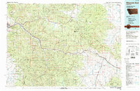
Quigley, MT maps
(14)- 1903 Map of Bonner
 1903 Bonner1903 Print · USGSMissoula and the surrounding river canyons come to life in this turn-of-the-century survey during the height of early rail expansion. Trace the original path of the Northern Pacific through mountain passes and locate early settlements like Bonner, Potomac, and Clinton.4 unique versions available
 - 1947 Map of Butte, 1949 Print
 1947 Butte1949 Print · USGSWestern Montana at the peak of its rail-and-river era shows the vital connections between the mining and industrial centers of Butte and Helena. Researchers can trace the three major railroad lines serving mountain settlements like Garrison, Philipsburg, and Warm Springs.2 unique versions available
 - 1958 Map of Butte
 1958 Butte1958 Print · USGSWestern Montana's mining and rail corridors are captured in the late fifties, from the urban bustle of the Copper King cities to high mountain passes. Researchers can trace the path of the Milwaukee St Paul and Pacific through Deer Lodge and locate remote outposts like Potomac Post Office.5 unique versions available
 - 1959 Map of Ravenna, 1961 Print
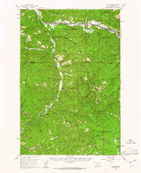 1959 Ravenna1961 Print · USGSIn the late 1950s, this mountainous border between Missoula and Granite Counties was a hub of river-and-rail transport. Researchers can trace the dual tracks of the Northern Pacific and Milwaukee Road, locating vanished stops like Nimrod and the old settlement at Quigley.2 unique versions available
 - 1960 Map of Butte
 1960 Butte1960 Print · USGSWestern Montana at the dawn of the sixties is defined by its industrial mining hubs and the railroads that connect them. Genealogists and historians can trace the routes of the Milwaukee Road through Butte or locate smaller settlements like Southern Cross and Bearmouth.
 - 1962 Map of Butte
 1962 Butte1962 Print · USGSWestern Montana in the early sixties remains a landscape of industrial muscle and high-mountain passes. Trace the rail lines of the Northern Pacific through Deer Lodge and the mining history around Anaconda and Philipsburg.
 - 1984 Map of Missoula East
 1984 Missoula East1984 Print · USGSThe Clark Fork valley and the Garnet Range are shown here in the mid-1980s as the region's timber and rail heritage remained prominent. Researchers can trace the Burlington Northern line and locate old mining sites like Garnet and the Copper Cliff Mine.
 - 1989 Map of Grizzly Point
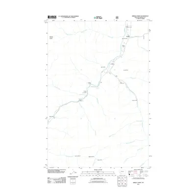
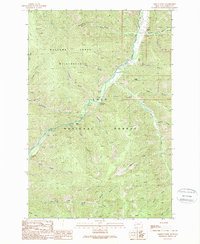 1989 Grizzly Point1989 Print · USGSGranite County at the close of the 1980s reveals a landscape of protected wilderness and national forest lands. Researchers can locate the historical Quigley (Site), trace the Wilderness Boundary, or identify old camps like Harrys Flat Campground.
 - 1999 Map of Grizzly Point, 2003 Print
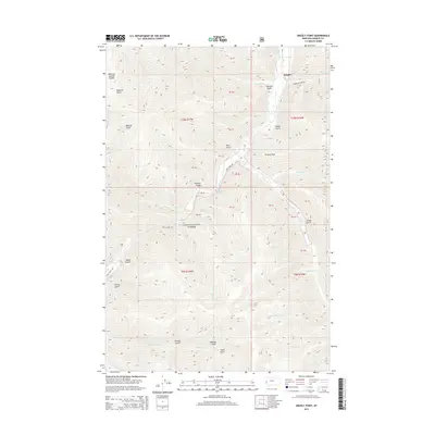
 1999 Grizzly Point2003 Print · USGSThe high country of Granite County is captured here in the late nineties, showcasing the intersection of wildlands and forest management. Researchers can trace the location of the Quigley (Site) or locate backcountry infrastructure like the Landing Strip and Cable Crossing.
 - 2011 Map of Grizzly Point, 2011 Print
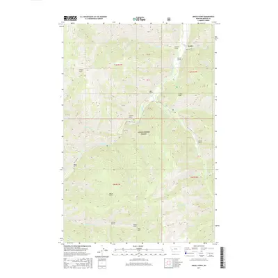
 2011 Grizzly Point2011 Print · USGSCovers Quigley, including Granite County, United States, and other nearby areas
 - 2014 Map of Grizzly Point, 2014 Print
 2014 Grizzly Point2014 Print · USGSCovers Quigley, including Granite County, United States, and other nearby areas
 - 2017 Map of Grizzly Point, 2017 Print
 2017 Grizzly Point2017 Print · USGSCovers Quigley, including Granite County, United States, and other nearby areas
 - 2020 Map of Grizzly Point, 2020 Print
 2020 Grizzly Point2020 Print · USGSCovers Quigley, including Granite County, United States, and other nearby areas
 - 2024 Map of Grizzly Point, 2024 Print
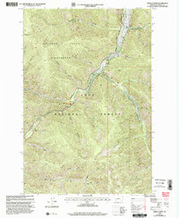
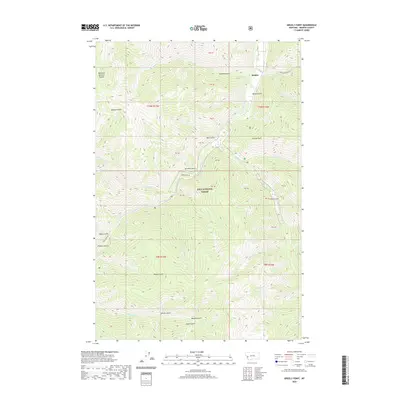
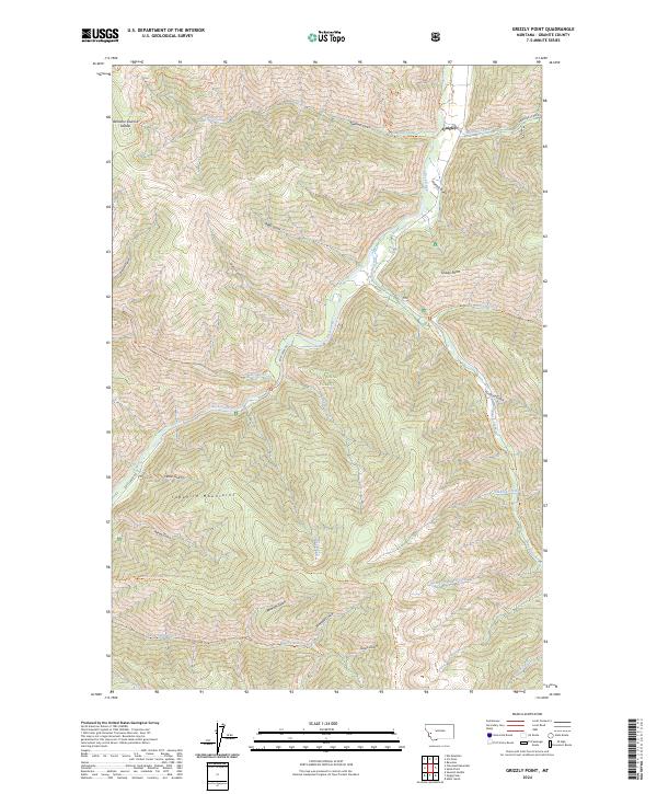 2024 Grizzly Point2024 Print · USGSGranite County's high country is documented here in the early twenty-first century, showing the intersection of wilderness and forest management. Researchers can trace the rugged drainages of the Sapphire Mountains or locate landmarks like Quigley and Grizzly Point.
End of results
Showing maps 1-14 of 14
Frequently asked questions
- What are the different types of historical maps available for Quigley?
- What is the oldest map of Quigley?
- Where can I purchase historical maps of Quigley for my home or office?
- Where can I download high-res historical maps of Quigley?
- Are there historical topographic maps available for Quigley?
- Is there historical aerial imagery available for Quigley?
- Where are historical maps of Quigley sourced from?