Old Maps of Leadville, Montana for Metal Detecting
Plan your next treasure hunt with 17 historic maps of Leadville. Find old homesites, ghost towns, trails, and gathering spots that may be lost to time — perfect for identifying promising metal detecting locations.
- Locate forgotten sites: Uncover places like long-lost settlements, abandoned rail lines, or gathering spots.
- Plan better hunts: Use map overlays combined with LiDAR or satellite views to narrow in on historically rich areas.
- Made for detectorists: Thousands of hobbyists use these maps to discover relics, coins, and hidden history.
Use these historic maps to boost your research and find new opportunities beneath the surface of Leadville.
Leadville, MT maps
(17)- 1889 Map of Helena
 1889 Helena1889 Print · USGSThe Montana territory is caught in a moment of feverish railroad and mining expansion just before the close of the century. Genealogists and historians can trace early mountain routes and rail stations through settlements like Marysville, Wickes, and the bustling territorial hub of Helena.
 - 1893 Map of Helena
 1893 Helena1893 Print · USGSMontana's gold and silver boom is captured here in the late nineteenth century, showing the rail lines and mining camps radiating from the territorial capital. Genealogists and historians can trace the early layout of Helena or locate vanished sites like Blackfoot City and Gloster.2 unique versions available
 - 1899 Map of Helena, 1956 Print
 1899 Helena1956 Print · USGSThe Montana gold country and the Continental Divide appear here at the close of the nineteenth century. Genealogists and historians can trace the mining and rail networks connecting Helena and Butte, including Pikes Peak Mill, Marysville, and Ft. Harrison.
 - 1903 Map of Helena
 1903 Helena1903 Print · USGSMontana's mining heartland comes alive at the dawn of the new century, from the state capital to the copper-rich summits above the Silver Bow. Trace the early rail lines serving Marysville, locate the historic barracks of Ft. Harrison, and follow the mountain trails through Mullan Pass.4 unique versions available
 - 1947 Map of Butte, 1949 Print
 1947 Butte1949 Print · USGSWestern Montana at the peak of its rail-and-river era shows the vital connections between the mining and industrial centers of Butte and Helena. Researchers can trace the three major railroad lines serving mountain settlements like Garrison, Philipsburg, and Warm Springs.2 unique versions available
 - 1958 Map of Butte
 1958 Butte1958 Print · USGSWestern Montana's mining and rail corridors are captured in the late fifties, from the urban bustle of the Copper King cities to high mountain passes. Researchers can trace the path of the Milwaukee St Paul and Pacific through Deer Lodge and locate remote outposts like Potomac Post Office.5 unique versions available
 - 1959 Map of Deer Lodge, 1961 Print
 1959 Deer Lodge1961 Print · USGSDeer Lodge and the Clark Fork valley are captured here in the late fifties, showcasing a landscape defined by parallel transcontinental railroads and mountain mining. Genealogists and historians can trace the foundations of Deer Lodge, the State Prison, and isolated settlements like Leadville.2 unique versions available
 - 1960 Map of Butte
 1960 Butte1960 Print · USGSWestern Montana at the dawn of the sixties is defined by its industrial mining hubs and the railroads that connect them. Genealogists and historians can trace the routes of the Milwaukee Road through Butte or locate smaller settlements like Southern Cross and Bearmouth.
 - 1962 Map of Butte
 1962 Butte1962 Print · USGSWestern Montana in the early sixties remains a landscape of industrial muscle and high-mountain passes. Trace the rail lines of the Northern Pacific through Deer Lodge and the mining history around Anaconda and Philipsburg.
 - 1989 Map of Sugarloaf Mountain
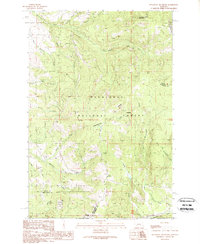 1989 Sugarloaf Mountain1989 Print · USGSWestern Montana's high ridges are captured in the late eighties, showing the convergence of three counties along the Continental Divide. Researchers can trace old mining footprints at Schurchs Tunnel or explore the drainage basins of Orofino Creek and the Boulder River.
 - 1994 Map of Butte North
 1994 Butte North1994 Print · USGSWestern Montana in the nineties was a landscape defined by ranching legacy and high-altitude mining. Genealogists and historians can trace institutional history at the Deer Lodge Prison Farm or locate old claims like the Saratoga Mine and Morning Glory Mine.
 - 1996 Map of Sugarloaf Mountain, 1998 Print
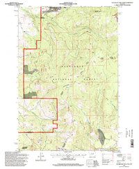 1996 Sugarloaf Mountain1998 Print · USGSHigh in the Montana backcountry during the 1990s, this area shows the rugged intersection of mining history and wilderness recreation. Researchers can trace old resource extraction sites like Schurchs Tunnel and Leadville alongside the Continental Divide National Scenic Trail.
 - 2011 Map of Sugarloaf Mountain, 2011 Print
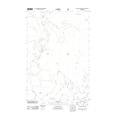 2011 Sugarloaf Mountain2011 Print · USGSThe Jefferson County highlands are documented here during the early twenty-first century, showcasing a landscape shaped by mining and hydrology. Trace the locations of the Leadville Mine, Jaslowski Mine, and Schurchs Tunnel among peaks like Sugarloaf Mountain.
 - 2014 Map of Sugarloaf Mountain, 2014 Print
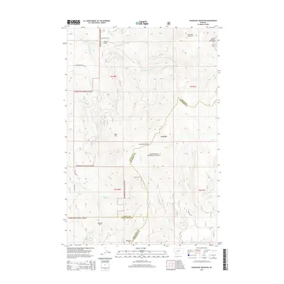 2014 Sugarloaf Mountain2014 Print · USGSHigh in the Montana mountains during the early twenty-first century, this area marks the convergence of three counties along the Continental Divide. Researchers can locate the mountain settlement of Leadville and trace historical activity at Schurchs Tunnel or near the headwaters of the Boulder River.
 - 2017 Map of Sugarloaf Mountain, 2017 Print
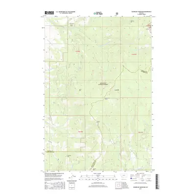 2017 Sugarloaf Mountain2017 Print · USGSThe high Montana backcountry near the Jefferson and Powell county line is captured here in the late twenty-tens. Map collectors can trace the Continental Divide past the settlement of Leadville or locate landmarks like Schurchs Tunnel and Saratoga Mountain.
 - 2020 Map of Sugarloaf Mountain, 2020 Print
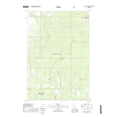 2020 Sugarloaf Mountain2020 Print · USGSThe Continental Divide separates the National Forests near Leadville in this recent survey of the Jefferson County high country. Hikers and historians can trace the Continental Divide National Scenic Trail past Schurchs Tunnel and the peaks of Sugarloaf Mtn.
 - 2024 Map of Sugarloaf Mountain, 2024 Print
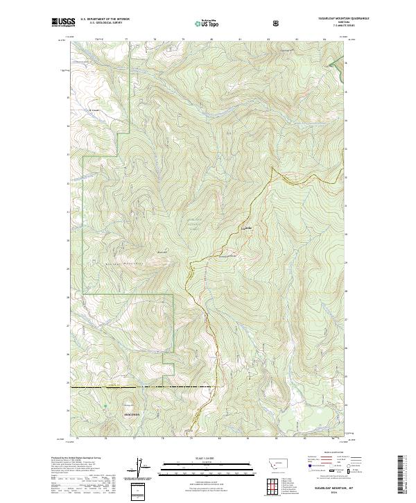 2024 Sugarloaf Mountain2024 Print · USGSThe Boulder Mountains and the Deerlodge National Forest are mapped here in the early twenty-first century. Researchers can trace the high-country paths of the Continental Divide National Scenic Trl and locate Leadville and Saratoga Mtn.
End of results
Showing maps 1-17 of 17
Top cities near Leadville
Frequently asked questions
- What are the different types of historical maps available for Leadville?
- What is the oldest map of Leadville?
- Where can I purchase historical maps of Leadville for my home or office?
- Where can I download high-res historical maps of Leadville?
- Are there historical topographic maps available for Leadville?
- Is there historical aerial imagery available for Leadville?
- Where are historical maps of Leadville sourced from?