Old Maps of Hobson, Montana for Genealogy
Trace your family roots with 32 historic maps of Hobson. These high-res maps reveal old neighborhoods, homesites, landmarks, and streets — helping you uncover where your ancestors lived and how the area evolved over time.
- Explore historic neighborhoods: Identify where your relatives may have lived in the 1800s or 1900s.
- Compare maps over time: Trace the changes in streets, buildings, and landmarks for multi-generational research.
- Perfect for genealogy & ancestry research: Used by family historians and researchers to map out lineage and migration.
These maps are an incredible resource for exploring your personal connection to Hobson's past.
Hobson, MT maps
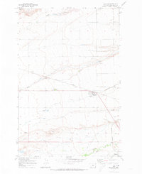
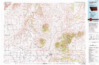
(32)- 1889 Map of Big Snowy Mountain
 1889 Big Snowy Mountain1889 Print · USGSCentral Montana in the late 1880s was a land of critical mountain passes and emerging frontier outposts. You can trace early settlement patterns and cattle country geography through historic sites like Ubet, Bercail, and Melville near the Musselshell River.
 - 1893 Map of Big Snowy Mountain
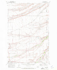
 1893 Big Snowy Mountain1893 Print · USGSCentral Montana in the late frontier era reveals a landscape shaped by the massive Big Snowy Mountain and the headwaters of major rivers. Researchers can trace early settlements and transit points like Ubet, Judith Gap, and the remote outpost of Bercail.4 unique versions available
 - 1954 Map of Roundup, 1966 Print
 1954 Roundup1966 Print · USGSCentral Montana in the mid-1960s showcases a landscape of high-plains agriculture and vital rail connections. Researchers can trace historic routes through Harlowton and Roundup while locating landmarks like Judith Cemetery and Deadmans Basin Reservoir.2 unique versions available
 - 1954 Map of Lewistown, 1967 Print
 1954 Lewistown1967 Print · USGSCentral Montana at the height of the mid-century rail era reveals a landscape shaped by the Judith River and high mountain ranges. Trace the old lines of the Great Northern through Lewistown and Denton, or locate sites like Giltedge and Landusky.3 unique versions available
 - 1958 Map of Roundup
 1958 Roundup1958 Print · USGSCentral Montana ranching and rail infrastructure are captured here in the late fifties as the Musselshell River valley thrived. Researchers can trace the Great Northern line through Harlowton or locate the Judith Cemetery and Gage Community.2 unique versions available
 - 1959 Map of Lewistown
 1959 Lewistown1959 Print · USGSCentral Montana in the mid-1950s shows a landscape defined by the winding Missouri River and the rise of the South Moccasin Mtns. Researchers can trace the rail lines of the Great Northern through towns like Winifred and locate the Cat Creek Oil Field.3 unique versions available
 - 1970 Map of Moccasin, 1973 Print
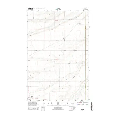
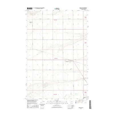
 1970 Moccasin1973 Print · USGSThe Judith Basin plains come into focus in the early seventies, showing a landscape defined by ranching and rail. Genealogists and historians can trace the tracks of the Burlington Northern through Moccasin and locate the Agriculture Experimental Sta.
 - 1970 Map of Kolin, 1973 Print
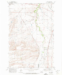
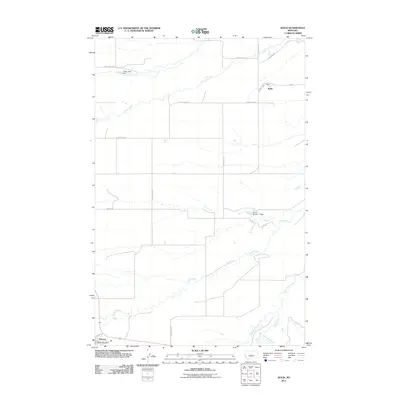
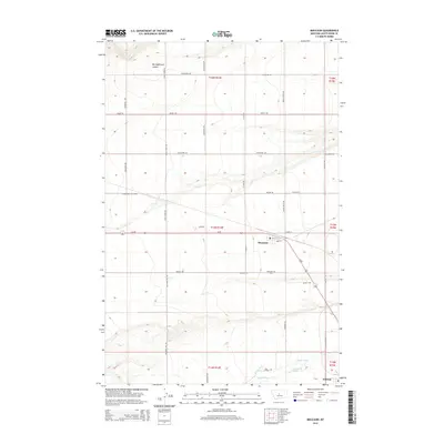
 1970 Kolin1973 Print · USGSThe Judith Basin at the dawn of the seventies shows a landscape of rail-connected prairie towns and river bottomlands. Genealogists and researchers can trace the homesites near Kolin and Hobson or locate the Burlington Northern line and Murray Ditch.
 - 1970 Map of Ackley Lake, 1973 Print
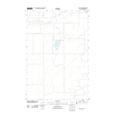
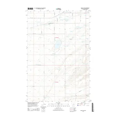
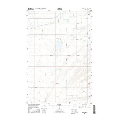
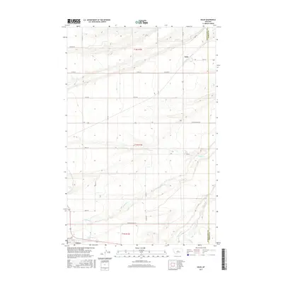
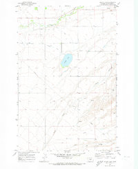 1970 Ackley Lake1973 Print · USGSThe Judith Basin is captured here in the early 1970s, showcasing a landscape shaped by early irrigation and ranching. Researchers can trace the Judith River past the Philbrook Cem and explore the water network surrounding Ackley Lake.
 - 1970 Map of Sipple, 1974 Print
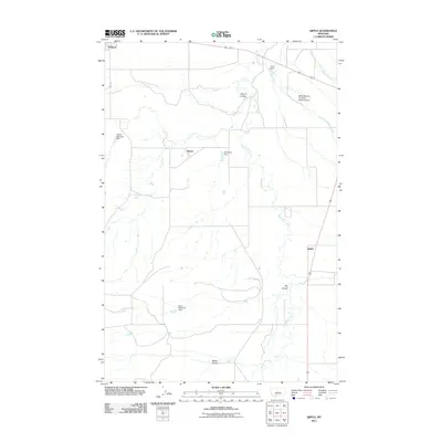
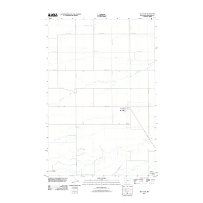
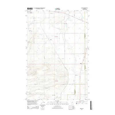
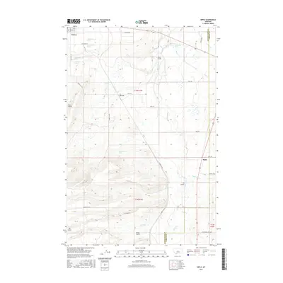
 1970 Sipple1974 Print · USGSCentral Montana in the early 1970s is a landscape of intersecting rail lines and deep coulees along the county line. Researchers can trace the routes of the Burlington Northern and the Chicago Milwaukee St Paul and Pacific near Sipple and Hauck.
 - 1978 Map of Lewistown, 1994 Print
 1978 Lewistown1994 Print · USGSThe heart of central Montana comes alive in the late seventies, centered on the hub of Lewistown and the high summits of the Judith Mountains. Researchers can trace the Burlington Northern rail lines and locate specific regional landmarks like Giltedge, Spring Creek Colony, and Moccasin.
 - 1993 Map of Big Snowy Mountains
 1993 Big Snowy Mountains1993 Print · USGSCentral Montana ranching and mountain landscapes come into focus in the early 1990s as small settlements like Judith Gap and Straw dot the plains. Genealogists and historians can trace the Burlington Northern rail line and identify remote sites like Living Springs or the Elephant Rocks.
 - 2011 Map of Sipple, 2011 Print
 2011 Sipple2011 Print · USGSCovers Hobson, including Diamond Dot, Sipple, and other nearby areas
 - 2011 Map of Ackley Lake, 2011 Print
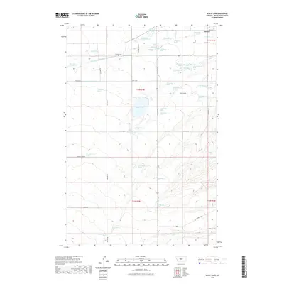
 2011 Ackley Lake2011 Print · USGSCovers Hobson, including Judith Basin County, United States, and other nearby areas
 - 2011 Map of Kolin, 2011 Print
 2011 Kolin2011 Print · USGSCovers Hobson, including Kolin, Fergus County, and other nearby areas
 - 2011 Map of Moccasin, 2011 Print
 2011 Moccasin2011 Print · USGSCovers Hobson, including Moccasin, Judith Basin County, and other nearby areas
 - 2014 Map of Kolin, 2014 Print
 2014 Kolin2014 Print · USGSCovers Hobson, including Kolin, Fergus County, and other nearby areas
 - 2014 Map of Ackley Lake, 2014 Print
 2014 Ackley Lake2014 Print · USGSCovers Hobson, including Judith Basin County, United States, and other nearby areas
 - 2014 Map of Moccasin, 2014 Print
 2014 Moccasin2014 Print · USGSCovers Hobson, including Moccasin, Judith Basin County, and other nearby areas
 - 2014 Map of Sipple, 2014 Print
 2014 Sipple2014 Print · USGSCovers Hobson, including Diamond Dot, Sipple, and other nearby areas
 - 2017 Map of Ackley Lake, 2017 Print
 2017 Ackley Lake2017 Print · USGSCovers Hobson, including Judith Basin County, United States, and other nearby areas
 - 2017 Map of Sipple, 2017 Print
 2017 Sipple2017 Print · USGSCovers Hobson, including Diamond Dot, Sipple, and other nearby areas
 - 2017 Map of Moccasin, 2017 Print
 2017 Moccasin2017 Print · USGSCovers Hobson, including Moccasin, Judith Basin County, and other nearby areas
 - 2017 Map of Kolin, 2017 Print
 2017 Kolin2017 Print · USGSCovers Hobson, including Kolin, Fergus County, and other nearby areas
 - 2020 Map of Ackley Lake, 2020 Print
 2020 Ackley Lake2020 Print · USGSCovers Hobson, including Judith Basin County, United States, and other nearby areas
Showing maps 1-25 of 32
Top cities near Hobson
Frequently asked questions
- What are the different types of historical maps available for Hobson?
- What is the oldest map of Hobson?
- Where can I purchase historical maps of Hobson for my home or office?
- Where can I download high-res historical maps of Hobson?
- Are there historical topographic maps available for Hobson?
- Is there historical aerial imagery available for Hobson?
- Where are historical maps of Hobson sourced from?