Old Maps of Ant Flat, Montana for Academic Research
Study the evolution of Ant Flat with 13 high-resolution historic maps. Whether you're teaching, researching, or modeling changes in land use, these maps provide essential visual documentation of urban, environmental, and geographic change.
- Analyze long-term change: Track patterns in development, transportation, and natural features.
- Ideal for environmental or urban studies: Support academic projects with primary historical map data.
- Use in the classroom or lab: Educators and researchers rely on these maps to bring historical context to life.
These maps are a powerful tool for teaching, research, and visualizing how Ant Flat has changed over the decades.
Ant Flat, MT maps
(13)- 1913 Map of Stryker, 1960 Print
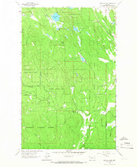
 1913 Stryker1960 Print · USGSNorthwest Montana at the start of the twentieth century was a landscape of remote rail outposts and high-country forestry along the Great Northern. Researchers can locate vanished infrastructure like the Meadow Creek School or trace early forest service history at Point of Rock Ranger Station.
 - 1916 Map of Stryker
 1916 Stryker1916 Print · USGSRailroad-driven development in the early twentieth century defined the corridor from Stryker to Olney along the Great Northern line. Researchers can trace the era's remote infrastructure through landmarks like Butcher Cabin and the Glen Lake School.3 unique versions available
 - 1957 Map of Kalispell, 1967 Print
 1957 Kalispell1967 Print · USGSNorthwest Montana in the late fifties showcases a mountain landscape transitioning between wilderness and industry. Genealogists and researchers can trace the Great Northern rail corridor through Kalispell and Whitefish, or locate landmarks like the Montana Soldiers Home and Hungry Horse Reservoir.3 unique versions available
 - 1960 Map of Kalispell
 1960 Kalispell1960 Print · USGSNorthwest Montana in the late fifties is defined by the mountain corridors of the Great Northern Railway and the vast reaches of Glacier National Park. Researchers can trace the legacy of timber and mining towns like Libby, Rexford, and Whitefish, or locate landmarks such as the Snowshoe Mine.
 - 1961 Map of Kalispell
 1961 Kalispell1961 Print · USGSNorthwestern Montana at the start of the 1960s shows a landscape of timber-driven rail towns and the sprawling wild lands of Glacier National Park. Genealogists and historians can trace the route of the Great Northern through mountain passes or locate old settlements like Fortine, Trego, and Warland.
 - 1963 Map of Edna Mountain, 1966 Print
 1963 Edna Mountain1966 Print · USGSThe timberlands of northwest Montana are captured here in the early 1960s, centered on the heights of Edna Mountain and the surrounding forest. Genealogists and historians can trace the Great Northern rail corridor and find local landmarks like Trego Sch and Marl Lake.2 unique versions available
 - 1981 Map of Whitefish Range, 1982 Print
 1981 Whitefish Range1982 Print · USGSThe Whitefish Range and Glacier National Park are shown here in the early eighties, documenting a massive wilderness landscape. Researchers can trace remote mountain outposts like Polebridge and rail-town history along the Burlington Northern near Trego and Olney.
 - 1997 Map of Edna Mountain, 2000 Print
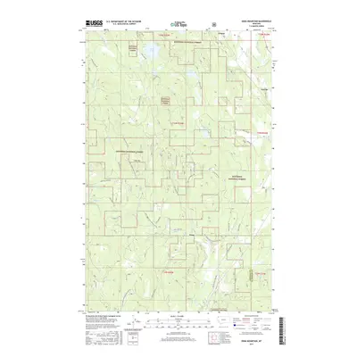
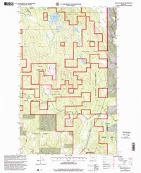 1997 Edna Mountain2000 Print · USGSLincoln County in the late 1990s remained a landscape of managed timber and remote mountain water. Local historians can trace the reach of the Kootenai National Forest and locate specific sites like the Trego School and the settlement at Ant Flat.
 - 2011 Map of Edna Mountain, 2011 Print
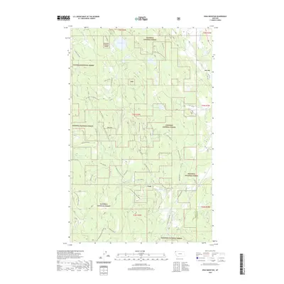
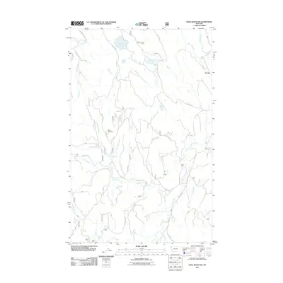 2011 Edna Mountain2011 Print · USGSCovers Ant Flat, including Flathead County, Lincoln County, and other nearby areas
 - 2014 Map of Edna Mountain, 2014 Print
 2014 Edna Mountain2014 Print · USGSCovers Ant Flat, including Flathead County, Lincoln County, and other nearby areas
 - 2017 Map of Edna Mountain, 2017 Print
 2017 Edna Mountain2017 Print · USGSCovers Ant Flat, including Flathead County, Lincoln County, and other nearby areas
 - 2020 Map of Edna Mountain, 2020 Print
 2020 Edna Mountain2020 Print · USGSCovers Ant Flat, including Flathead County, Lincoln County, and other nearby areas
 - 2024 Map of Edna Mountain, 2024 Print
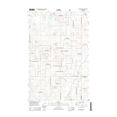
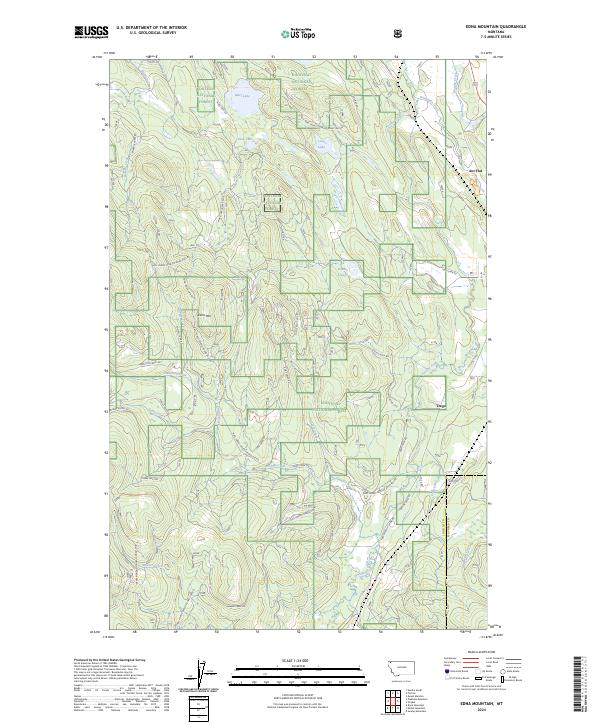 2024 Edna Mountain2024 Print · USGSLincoln County’s timbered ridges and glacial lakes are mapped here in the modern era as they appear within the Kootenai National Forest. Researchers can trace the rural roads surrounding Trego or locate landmarks like Edna Mtn and Marl Lake.
End of results
Showing maps 1-13 of 13
Top cities near Ant Flat
Frequently asked questions
- What are the different types of historical maps available for Ant Flat?
- What is the oldest map of Ant Flat?
- Where can I purchase historical maps of Ant Flat for my home or office?
- Where can I download high-res historical maps of Ant Flat?
- Are there historical topographic maps available for Ant Flat?
- Is there historical aerial imagery available for Ant Flat?
- Where are historical maps of Ant Flat sourced from?