Old Maps of Huson, Montana for Academic Research
Study the evolution of Huson with 11 high-resolution historic maps. Whether you're teaching, researching, or modeling changes in land use, these maps provide essential visual documentation of urban, environmental, and geographic change.
- Analyze long-term change: Track patterns in development, transportation, and natural features.
- Ideal for environmental or urban studies: Support academic projects with primary historical map data.
- Use in the classroom or lab: Educators and researchers rely on these maps to bring historical context to life.
These maps are a powerful tool for teaching, research, and visualizing how Huson has changed over the decades.
Huson, MT maps
(11)- 1956 Map of Wallace, 1966 Print
 1956 Wallace1966 Print · USGSWestern Montana and the Idaho panhandle meet in this mid-century survey of the Bitterroot and Cabinet Mountains. Genealogists and historians can trace the rail-and-river economy through the Northern Pacific line and settlements like Thompson Falls or St. Ignatius.3 unique versions available
 - 1959 Map of Alberton, 1961 Print
 1959 Alberton1961 Print · USGSAs the mid-century timber and rail economies peaked, this area of western Montana balanced remote wilderness with vital transport lines. Genealogists and historians can trace the Northern Pacific rail line and local landmarks like the Favorite Mine and the Ninemile Community Hall.2 unique versions available
 - 1960 Map of Wallace
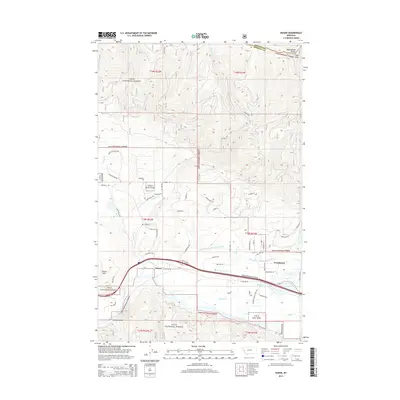
 1960 Wallace1960 Print · USGSNorthwestern Montana and the Idaho panhandle are captured in the late fifties, showing the vast Flathead Indian Reservation and the mining districts of the Bitterroot Range. Researchers can trace the rail lines of the Northern Pacific or locate early sites like the Morning Mine and the National Bison Range.
 - 1984 Map of Huson
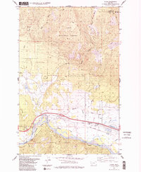 1984 Huson1984 Print · USGSHuson and the surrounding river valley are captured in the early 1980s as a hub for mountain transit and irrigation. Researchers can trace the historic Mullan Road, the winding Clark Fork, and localized landmarks like Frenchtown Pond and Edith Peak.2 unique versions available
 - 1988 Map of Huson
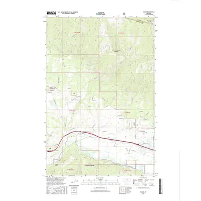
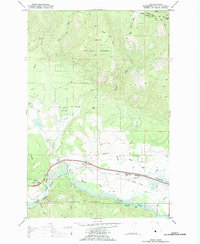 1988 Huson1988 Print · USGSIn the late eighties, the valley of the Clark Fork near Huson showcased a landscape of timber management and river-valley transport. Researchers can trace the path of the Burlington Northern and Mullan Road past sites like Frenchtown Pond and the Old Railroad Grade.
 - 1999 Map of Huson, 2003 Print
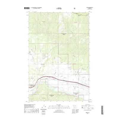
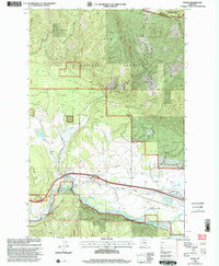 1999 Huson2003 Print · USGSThe Clark Fork valley near the turn of the millennium shows a landscape shaped by historical transit and mountain forestry. Genealogists and hikers can trace the path of the Mullan Road or locate landmarks like Edith Peak and the Erskine Fishing Access.
 - 2011 Map of Huson, 2011 Print
 2011 Huson2011 Print · USGSCovers Huson, including Missoula County, Sanders County, and other nearby areas
 - 2014 Map of Huson, 2014 Print
 2014 Huson2014 Print · USGSCovers Huson, including Missoula County, Sanders County, and other nearby areas
 - 2017 Map of Huson, 2017 Print
 2017 Huson2017 Print · USGSCovers Huson, including Missoula County, Sanders County, and other nearby areas
 - 2020 Map of Huson, 2020 Print
 2020 Huson2020 Print · USGSCovers Huson, including Missoula County, Sanders County, and other nearby areas
 - 2024 Map of Huson, 2024 Print
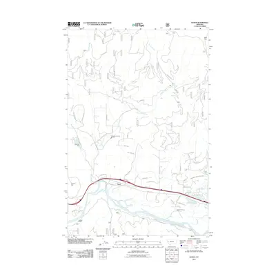
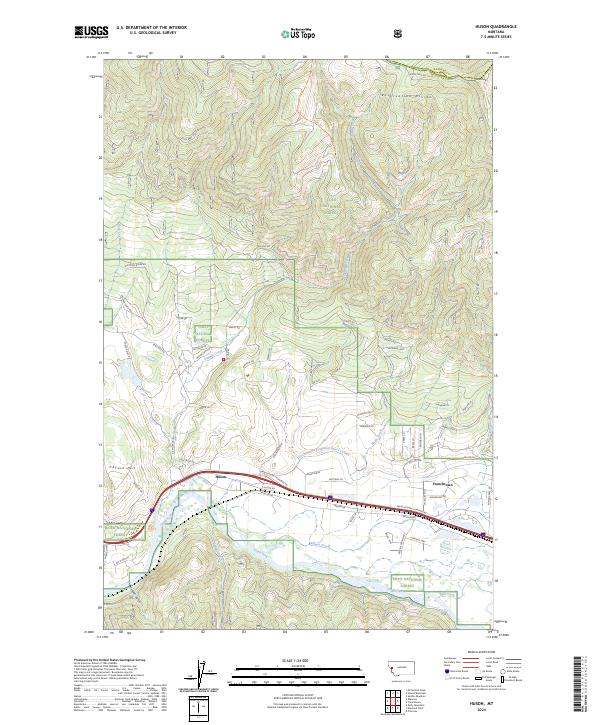 2024 Huson2024 Print · USGSThe Clark Fork valley and the towering Reservation Divide define this Missoula County landscape during the 2020s. Genealogists and researchers can trace local developments in Huson and Frenchtown or follow the path of the Frenchtown Irrigation District Ditch.
End of results
Showing maps 1-11 of 11
Top cities near Huson
Frequently asked questions
- What are the different types of historical maps available for Huson?
- What is the oldest map of Huson?
- Where can I purchase historical maps of Huson for my home or office?
- Where can I download high-res historical maps of Huson?
- Are there historical topographic maps available for Huson?
- Is there historical aerial imagery available for Huson?
- Where are historical maps of Huson sourced from?