Old Maps of Schley, Montana for Genealogy
Trace your family roots with 11 historic maps of Schley. These high-res maps reveal old neighborhoods, homesites, landmarks, and streets — helping you uncover where your ancestors lived and how the area evolved over time.
- Explore historic neighborhoods: Identify where your relatives may have lived in the 1800s or 1900s.
- Compare maps over time: Trace the changes in streets, buildings, and landmarks for multi-generational research.
- Perfect for genealogy & ancestry research: Used by family historians and researchers to map out lineage and migration.
These maps are an incredible resource for exploring your personal connection to Schley's past.
Schley, MT maps
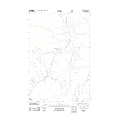
(11)- 1956 Map of Wallace, 1966 Print
 1956 Wallace1966 Print · USGSWestern Montana and the Idaho panhandle meet in this mid-century survey of the Bitterroot and Cabinet Mountains. Genealogists and historians can trace the rail-and-river economy through the Northern Pacific line and settlements like Thompson Falls or St. Ignatius.3 unique versions available
 - 1959 Map of Arlee, 1961 Print
 1959 Arlee1961 Print · USGSThe Flathead Indian Reservation and Jocko River valley are shown here in the late fifties, during a period of established ranching and rail activity. Genealogists and historians can locate family landmarks like Nielson Ranch, the Mission Ch, and the Frenchtown Cem.3 unique versions available
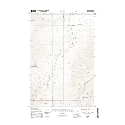
 - 1960 Map of Wallace
 1960 Wallace1960 Print · USGSNorthwestern Montana and the Idaho panhandle are captured in the late fifties, showing the vast Flathead Indian Reservation and the mining districts of the Bitterroot Range. Researchers can trace the rail lines of the Northern Pacific or locate early sites like the Morning Mine and the National Bison Range.
 - 1984 Map of Evaro
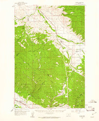
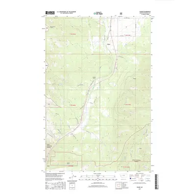
 1984 Evaro1984 Print · USGSEvaro and its mountain surroundings are captured in the mid-1980s as a high-altitude railroad and recreation corridor. Researchers can trace the Burlington Northern rail line, the historic Mc Clure Flume, and landmarks like TV Mountain or Schley.
 - 1989 Map of Evaro
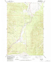
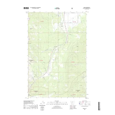
 1989 Evaro1989 Print · USGSThe Flathead Indian Reservation and Lolo National Forest meet in this late-century survey of the Montana mountains. Researchers can trace the Burlington Northern rail line past Schley and Evaro or locate landmarks like the Radio Towers on TV Mountain.
 - 1999 Map of Evaro, 2003 Print
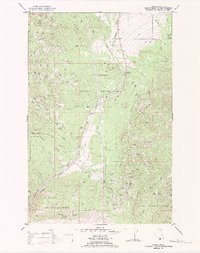
 1999 Evaro2003 Print · USGSThe community of Evaro sits at the high-altitude crossroads of tribal and public lands during the late 1990s. Genealogists and historians can trace the local landscape through features like Schley, Marent Gulch, and the early industrial footprint of Gravel Pits.
 - 2011 Map of Evaro, 2011 Print
 2011 Evaro2011 Print · USGSCovers Schley, including Evaro, Missoula County, and other nearby areas
 - 2014 Map of Evaro, 2014 Print
 2014 Evaro2014 Print · USGSCovers Schley, including Evaro, Missoula County, and other nearby areas
 - 2017 Map of Evaro, 2017 Print
 2017 Evaro2017 Print · USGSCovers Schley, including Evaro, Missoula County, and other nearby areas
 - 2020 Map of Evaro, 2020 Print
 2020 Evaro2020 Print · USGSCovers Schley, including Evaro, Missoula County, and other nearby areas
 - 2024 Map of Evaro, 2024 Print
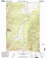
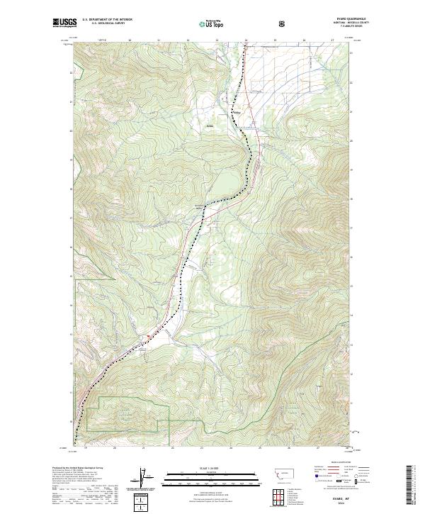 2024 Evaro2024 Print · USGSThe mountain pass at Coriacan Defile remains the vital link between valleys in this Missoula County landscape during the early twenty-first century. Genealogists and local historians can trace the rural homesteads and routes near Evaro and Schley, or follow the waters of Finley Creek.
End of results
Showing maps 1-11 of 11
Top cities near Schley
Frequently asked questions
- What are the different types of historical maps available for Schley?
- What is the oldest map of Schley?
- Where can I purchase historical maps of Schley for my home or office?
- Where can I download high-res historical maps of Schley?
- Are there historical topographic maps available for Schley?
- Is there historical aerial imagery available for Schley?
- Where are historical maps of Schley sourced from?