Old Maps of Winnett, Montana for Hiking & Exploration
Hike through history with 18 historic maps of Winnett. Explore old trails, ghost towns, and forgotten backroads — perfect for outdoor adventurers and local explorers.
- Rediscover forgotten places: Map out old mining camps, roads, and footpaths that no longer exist on modern maps.
- Layer with modern tools: Combine with LiDAR or satellite views to plan hikes through historical terrain.
- Made for exploration: Popular among hikers, overlanders, and local history lovers.
Use these maps to find adventure and explore the hidden past of Winnett.
Winnett, MT maps
(18)- 1954 Map of Roundup, 1966 Print
 1954 Roundup1966 Print · USGSCentral Montana in the mid-1960s showcases a landscape of high-plains agriculture and vital rail connections. Researchers can trace historic routes through Harlowton and Roundup while locating landmarks like Judith Cemetery and Deadmans Basin Reservoir.2 unique versions available
 - 1954 Map of Lewistown, 1967 Print
 1954 Lewistown1967 Print · USGSCentral Montana at the height of the mid-century rail era reveals a landscape shaped by the Judith River and high mountain ranges. Trace the old lines of the Great Northern through Lewistown and Denton, or locate sites like Giltedge and Landusky.3 unique versions available
 - 1958 Map of Roundup
 1958 Roundup1958 Print · USGSCentral Montana ranching and rail infrastructure are captured here in the late fifties as the Musselshell River valley thrived. Researchers can trace the Great Northern line through Harlowton or locate the Judith Cemetery and Gage Community.2 unique versions available
 - 1959 Map of Lewistown
 1959 Lewistown1959 Print · USGSCentral Montana in the mid-1950s shows a landscape defined by the winding Missouri River and the rise of the South Moccasin Mtns. Researchers can trace the rail lines of the Great Northern through towns like Winifred and locate the Cat Creek Oil Field.3 unique versions available
 - 1986 Map of Winnett North
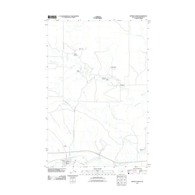
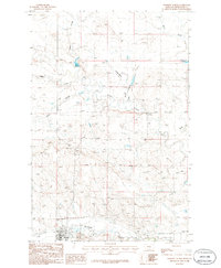 1986 Winnett North1986 Print · USGSThe town of Winnett and the surrounding Petroleum County landscape are captured here in the mid-1980s. Local historians can trace the Old Rail Road Grade and locate town landmarks like the Cem and Athletic Field along the banks of Mc Donald Creek.
 - 1986 Map of Winnett South
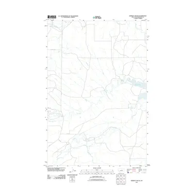
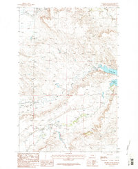 1986 Winnett South1986 Print · USGSPetroleum County ranching country is captured here in the mid-1980s, showing a landscape defined by its vital water sources. Researchers can trace the windings of Flatwillow Creek and Alkali Creek or locate the shoreline of Petrolia Lake.2 unique versions available
 - 1986 Map of Winnett, 1994 Print
 1986 Winnett1994 Print · USGSCentral Montana ranching country is shown here in the mid-1980s as the rail era had given way to modern highways. Researchers can trace the Old Railroad Grade past Teigen or locate family sites near Wild Horse Lake and the War Horse National Wildlife Refuge.
 - 1993 Map of Musselshell
 1993 Musselshell1993 Print · USGSCentral Montana's high plains and river valleys are shown in the early nineties, centered on the ranching and resource hubs of Winnett and Musselshell. Researchers can trace the Musselshell Ditch, locate the Melstone Oil Field, and explore the diverse wetlands of Lake Mason.
 - 2011 Map of Winnett North, 2011 Print
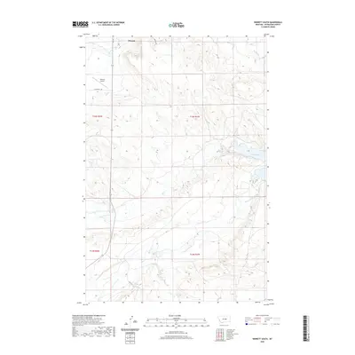
 2011 Winnett North2011 Print · USGSCovers Winnett, including Petroleum County, United States, and other nearby areas
 - 2011 Map of Winnett South, 2011 Print
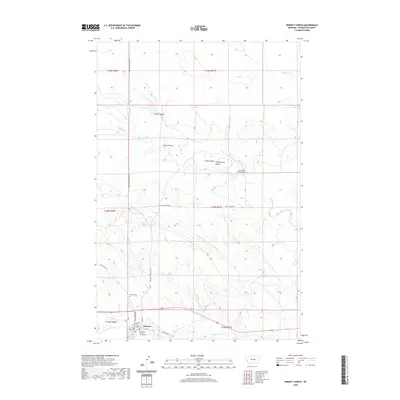
 2011 Winnett South2011 Print · USGSCovers Winnett, including Petroleum County, United States, and other nearby areas
 - 2014 Map of Winnett North, 2014 Print
 2014 Winnett North2014 Print · USGSCovers Winnett, including Petroleum County, United States, and other nearby areas
 - 2014 Map of Winnett South, 2014 Print
 2014 Winnett South2014 Print · USGSCovers Winnett, including Petroleum County, United States, and other nearby areas
 - 2017 Map of Winnett North, 2017 Print
 2017 Winnett North2017 Print · USGSCovers Winnett, including Petroleum County, United States, and other nearby areas
 - 2017 Map of Winnett South, 2017 Print
 2017 Winnett South2017 Print · USGSCovers Winnett, including Petroleum County, United States, and other nearby areas
 - 2020 Map of Winnett South, 2020 Print
 2020 Winnett South2020 Print · USGSCovers Winnett, including Petroleum County, United States, and other nearby areas
 - 2020 Map of Winnett North, 2020 Print
 2020 Winnett North2020 Print · USGSCovers Winnett, including Petroleum County, United States, and other nearby areas
 - 2024 Map of Winnett North, 2024 Print
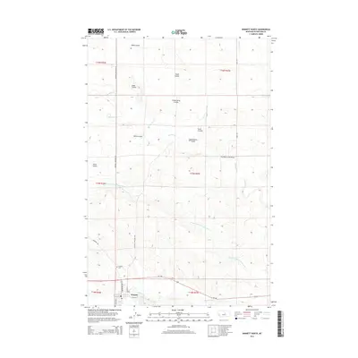
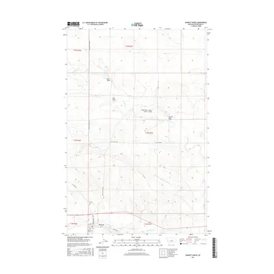
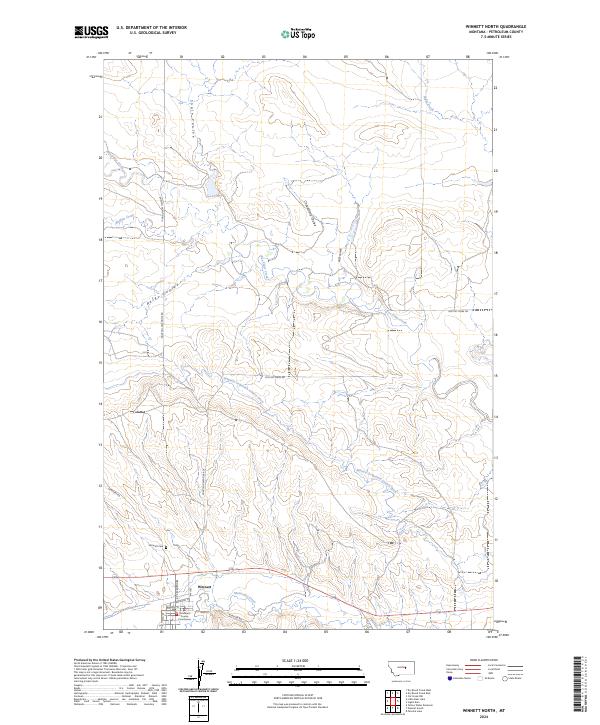 2024 Winnett North2024 Print · USGSThe Petroleum County seat and its surrounding rangeland are documented here in recent detail. Researchers can trace town history at the Petroleum County Courthouse or follow water routes like the Winnett Irrigation County Ditch and Box Elder Creek.
 - 2024 Map of Winnett South, 2024 Print
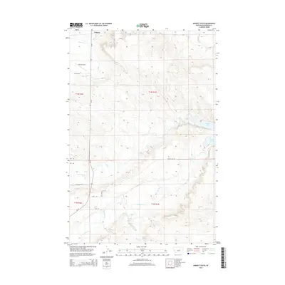
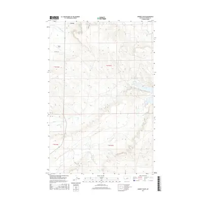
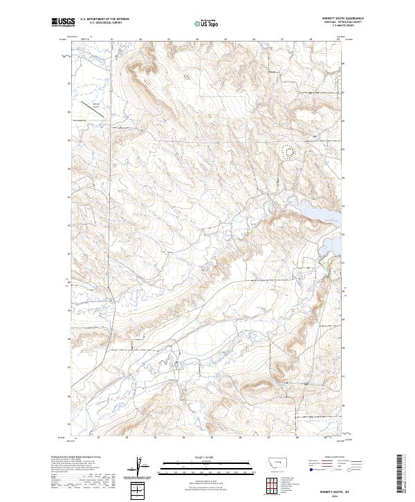 2024 Winnett South2024 Print · USGSPetroleum County's high plains and drainage networks are meticulously documented in this recent survey. Researchers can trace the water systems feeding into Petrolia Lake and locate specific rural landmarks like the Winnett Airport or the path of Old Winnett Rd.
End of results
Showing maps 1-18 of 18
Frequently asked questions
- What are the different types of historical maps available for Winnett?
- What is the oldest map of Winnett?
- Where can I purchase historical maps of Winnett for my home or office?
- Where can I download high-res historical maps of Winnett?
- Are there historical topographic maps available for Winnett?
- Is there historical aerial imagery available for Winnett?
- Where are historical maps of Winnett sourced from?