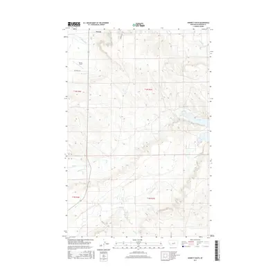
2017 Map of Winnett South
USGS Topo · Published 2017About this map
Winnett serves as the focal point of this Petroleum County landscape, where the high plains meet a complex network of drainage basins. The area is defined by the significant presence of Petrolia Lake to the east and a variety of seasonal and perennial watercourses that carve through the terrain. To the south of the township, the Winnett Airport and Old Winnett Rd mark the local transportation infrastructure, while cattle country is delineated by numerous creeks including McDonald Cr and Flatwillow Cr. The survey illustrates a semi-arid geography where water management and ranching roads like Kelly Rd are central to the regional economy. This modern topographic record captures the enduring spatial patterns of central Montana, showing how contemporary landmarks like Murrion Rd overlay the historical township and range sections.
Find a feature on this map
15 named features on this map. Tap any name to fly to it.
Don’t see what you’re looking for? This feature index may not catch every label — zoom into the map to look around manually.
Map Details
Editions of this 2017 Winnett South Map
This is the sole edition of this map. No revisions or reprints were ever made.
Other maps of this area

1954 · Roundup
USGS Topo · 1:250,000

1954 · Lewistown
USGS Topo · 1:250,000

1958 · Roundup
USGS Topo · 1:250,000

1959 · Lewistown
USGS Topo · 1:250,000

1963 · Kelley
USGS Topo · 1:24,000

1963 · Petrolia Lake
USGS Topo · 1:24,000

1986 · Ingals Dam
USGS Topo · 1:24,000

1986 · Flatwillow
USGS Topo · 1:24,000

1986 · Winnett North
USGS Topo · 1:24,000

1986 · Crowley Dam
USGS Topo · 1:24,000