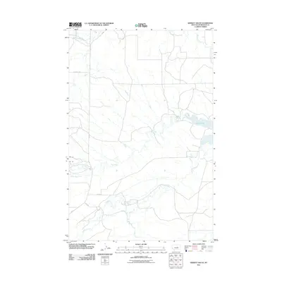
2011 Map of Winnett South
USGS Topo · Published 2011About this map
Petrolia Lake and a complex network of waterways define this region south of Winnett as it appeared in 2011. The landscape is marked by the meandering paths of Flatwillow Creek and McDonald Creek, which likely dictated the placement of early ranch roads and property boundaries. The transition from established routes like Old Winnett Rd to rural passages like Murnion Rd and Kelly Rd illustrates the enduring layout of Petroleum County's grazing lands. Smaller tributaries, including Elk Creek, Yellow Water Creek, and Alkali Creek, trace the natural drainage patterns that have historically supported the area's agricultural life. This documentation by the U.S. Geological Survey captures the quiet intersections of water and wire in a sparsely populated section of the Montana plains.
Find a feature on this map
13 named features on this map. Tap any name to fly to it.
Don’t see what you’re looking for? This feature index may not catch every label — zoom into the map to look around manually.
Map Details
Editions of this 2011 Winnett South Map
This is the sole edition of this map. No revisions or reprints were ever made.
Other maps of this area

1954 · Roundup
USGS Topo · 1:250,000

1954 · Lewistown
USGS Topo · 1:250,000

1958 · Roundup
USGS Topo · 1:250,000

1959 · Lewistown
USGS Topo · 1:250,000

1963 · Kelley
USGS Topo · 1:24,000

1963 · Petrolia Lake
USGS Topo · 1:24,000

1986 · Ingals Dam
USGS Topo · 1:24,000

1986 · Flatwillow
USGS Topo · 1:24,000

1986 · Winnett North
USGS Topo · 1:24,000

1986 · Crowley Dam
USGS Topo · 1:24,000