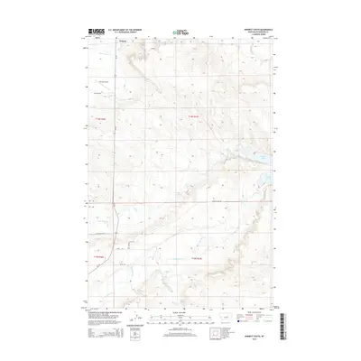
2014 Map of Winnett South
USGS Topo · Published 2014About this map
Winnett serves as the primary hub in this portion of Petroleum County, situated at the northern edge of a landscape defined by seasonal watercourses and prairie drainage. The town's grid meets MT-244 near the Winnett Airport, illustrating the community's reliance on both highway and small-scale aviation for connectivity. To the east, the impoundment of Petrolia Lake provides a significant water resource in an otherwise arid environment, accessible via Petrolia Dam Rd.
Find a feature on this map
20 named features on this map. Tap any name to fly to it.
Don’t see what you’re looking for? This feature index may not catch every label — zoom into the map to look around manually.
Map Details
Editions of this 2014 Winnett South Map
This is the sole edition of this map. No revisions or reprints were ever made.
Other maps of this area

1954 · Roundup
USGS Topo · 1:250,000

1954 · Lewistown
USGS Topo · 1:250,000

1958 · Roundup
USGS Topo · 1:250,000

1959 · Lewistown
USGS Topo · 1:250,000

1963 · Kelley
USGS Topo · 1:24,000

1963 · Petrolia Lake
USGS Topo · 1:24,000

1986 · Ingals Dam
USGS Topo · 1:24,000

1986 · Flatwillow
USGS Topo · 1:24,000

1986 · Winnett North
USGS Topo · 1:24,000

1986 · Crowley Dam
USGS Topo · 1:24,000