Old Maps of Woods Place, Montana for Genealogy
Trace your family roots with 9 historic maps of Woods Place. These high-res maps reveal old neighborhoods, homesites, landmarks, and streets — helping you uncover where your ancestors lived and how the area evolved over time.
- Explore historic neighborhoods: Identify where your relatives may have lived in the 1800s or 1900s.
- Compare maps over time: Trace the changes in streets, buildings, and landmarks for multi-generational research.
- Perfect for genealogy & ancestry research: Used by family historians and researchers to map out lineage and migration.
These maps are an incredible resource for exploring your personal connection to Woods Place's past.
Woods Place, MT maps
(9)- 1954 Map of Lewistown, 1967 Print
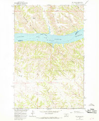
 1954 Lewistown1967 Print · USGSCentral Montana at the height of the mid-century rail era reveals a landscape shaped by the Judith River and high mountain ranges. Trace the old lines of the Great Northern through Lewistown and Denton, or locate sites like Giltedge and Landusky.3 unique versions available
 - 1959 Map of Lewistown
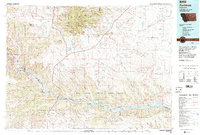
 1959 Lewistown1959 Print · USGSCentral Montana in the mid-1950s shows a landscape defined by the winding Missouri River and the rise of the South Moccasin Mtns. Researchers can trace the rail lines of the Great Northern through towns like Winifred and locate the Cat Creek Oil Field.3 unique versions available
 - 1965 Map of Dry Coulee, 1968 Print
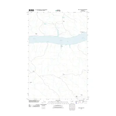
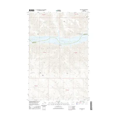
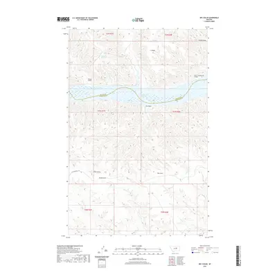
 1965 Dry Coulee1968 Print · USGSThe Missouri River breaks of central Montana are captured here in the mid-sixties, centered on the Fort Peck Reservoir. Researchers can trace old family holdings like the Novak Homestead and McArthur Ranch tucked among the drainages of Dry Coulee.2 unique versions available
 - 1984 Map of Zortman
 1984 Zortman1984 Print · USGSCentral Montana in the mid-eighties shows a vast landscape of tribal lands and protected wilderness along the Missouri River breaks. Genealogists and historians can trace the remote settlements of Zortman and Landusky or locate landmarks like Mission Peak and D V Junction.
 - 2011 Map of Dry Coulee, 2011 Print
 2011 Dry Coulee2011 Print · USGSCovers Woods Place, including Petroleum County, Phillips County, and other nearby areas
 - 2014 Map of Dry Coulee, 2014 Print
 2014 Dry Coulee2014 Print · USGSCovers Woods Place, including Petroleum County, Phillips County, and other nearby areas
 - 2017 Map of Dry Coulee, 2017 Print
 2017 Dry Coulee2017 Print · USGSCovers Woods Place, including Petroleum County, Phillips County, and other nearby areas
 - 2020 Map of Dry Coulee, 2020 Print
 2020 Dry Coulee2020 Print · USGSCovers Woods Place, including Petroleum County, Phillips County, and other nearby areas
 - 2024 Map of Dry Coulee, 2024 Print
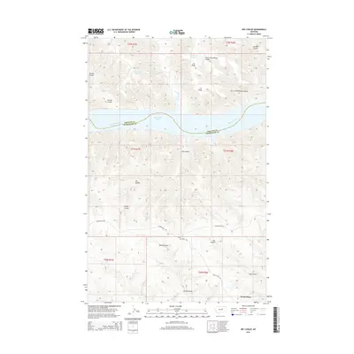
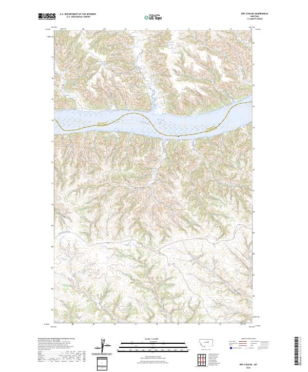 2024 Dry Coulee2024 Print · USGSPetroleum County's breaklands meet the Missouri River in this modern survey of central Montana's wild coulee country. Researchers can trace the path of the Old Musselshell Trl and find landmarks like Garrit Schoolhouse Coulee and Fort Peck Lake.
End of results
Showing maps 1-9 of 9
Frequently asked questions
- What are the different types of historical maps available for Woods Place?
- What is the oldest map of Woods Place?
- Where can I purchase historical maps of Woods Place for my home or office?
- Where can I download high-res historical maps of Woods Place?
- Are there historical topographic maps available for Woods Place?
- Is there historical aerial imagery available for Woods Place?
- Where are historical maps of Woods Place sourced from?