Old Maps of Dryer Place, Montana for Genealogy
Trace your family roots with 11 historic maps of Dryer Place. These high-res maps reveal old neighborhoods, homesites, landmarks, and streets — helping you uncover where your ancestors lived and how the area evolved over time.
- Explore historic neighborhoods: Identify where your relatives may have lived in the 1800s or 1900s.
- Compare maps over time: Trace the changes in streets, buildings, and landmarks for multi-generational research.
- Perfect for genealogy & ancestry research: Used by family historians and researchers to map out lineage and migration.
These maps are an incredible resource for exploring your personal connection to Dryer Place's past.
Dryer Place, MT maps
(11)- 1954 Map of Jordan, 1965 Print
 1954 Jordan1965 Print · USGSGarfield County in the mid-fifties is a land of expansive ranches and isolated prairie schoolhouses. Researchers can trace rural genealogy and land use through landmarks like Regina School, Robertson Brothers Ranch, and the Charles M Russell National Wildlife Range.2 unique versions available
 - 1956 Map of Jordan
 1956 Jordan1956 Print · USGSCentral Montana ranching country and the massive Missouri River impoundment are captured here in the mid-fifties. Researchers can trace remote homesteading landmarks like Robertson Brothers Ranch and small rural hubs including Jordan, Brusett, and Cohagen.
 - 1958 Map of Jordan
 1958 Jordan1958 Print · USGSGarfield County and the Missouri River country are shown here in the late fifties as the regional geography adjusted to the massive new reservoir. Genealogists and local historians can trace isolated homesteads and numerous rural schoolhouses like Iler School, Brusett, and the Robertson Brothers Ranch.
 - 1964 Map of Jordan
 1964 Jordan1964 Print · USGSGarfield County and the surrounding Montana prairie are captured in the mid-1950s as the Fort Peck Reservoir reshapes the northern landscape. Local historians can trace the locations of rural schoolhouses like South First Creek School and remote ranching outposts such as Brusett and Van Norman.
 - 1965 Map of Schuyler Butte, 1969 Print
 1965 Schuyler Butte1969 Print · USGSThe Missouri River breaks of Central Montana are captured here during the mid-sixties, showcasing the expansive Fort Peck Reservoir shoreline. Trace family landmarks and terrain like the Dryer Place, Schuyler Butte, and Iron Stake Ridge.2 unique versions available
 - 1978 Map of Fort Peck Lake West
 1978 Fort Peck Lake West1978 Print · USGSNorthern Montana plains and the Missouri River brakes are captured here in the late seventies. Researchers can trace remote outposts like Regina PO, the winding waters of Fort Peck Lake, and the solitary Coal Mine near the county line.2 unique versions available
 - 2011 Map of Schuyler Butte, 2011 Print
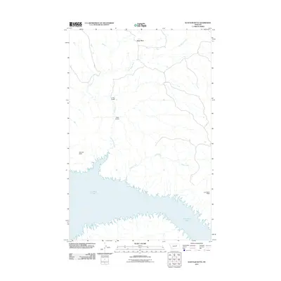 2011 Schuyler Butte2011 Print · USGSPhillips County, Montana, is defined by the vast waters of the Missouri River breaks during the early twenty-first century. Researchers can trace the rugged shoreline of Fort Peck Lake and locate remote points like Dryer Place and Schuyler Butte.
 - 2014 Map of Schuyler Butte, 2014 Print
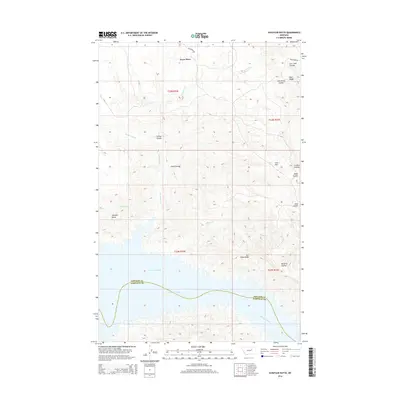 2014 Schuyler Butte2014 Print · USGSThe Missouri River Breaks and the northern shore of Fort Peck Lake define this central Montana landscape during the early 2010s. Local history researchers can trace the historic Telegraph Rd and family-named landmarks like Dryer Place and Schuyler Butte.
 - 2017 Map of Schuyler Butte, 2017 Print
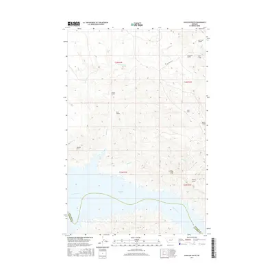 2017 Schuyler Butte2017 Print · USGSThe Missouri Breaks region in the late 2010s is defined here by the meeting of the Missouri River and Fort Peck Lake along the Phillips and Garfield county line. Researchers can trace the drainage of Kill-Woman Cr and Chippy Cr or locate landmarks like Schuyler Butte.
 - 2020 Map of Schuyler Butte, 2020 Print
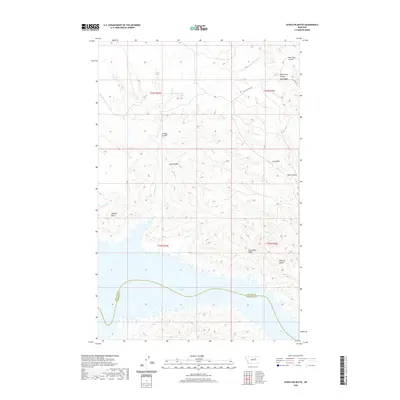 2020 Schuyler Butte2020 Print · USGSThe breaks of central Montana meet the northern shores of Fort Peck Lake in this recent survey of Phillips and Garfield Counties. Local historians can trace named landmarks and historic routes like Schuyler Butte, Cart Trail Coulee, and Iron Stake Ridge.
 - 2024 Map of Schuyler Butte, 2024 Print
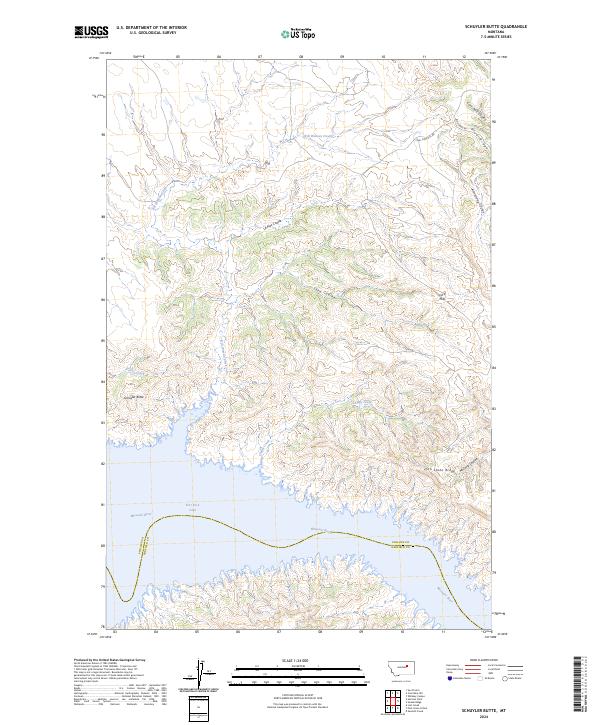 2024 Schuyler Butte2024 Print · USGSThe Missouri River breaks and the northern reaches of Fort Peck Lake are captured in this modern survey of central Montana. Researchers can trace the rugged coulees and high ridges of the Charles M Russell National Wildlife Refuge, including Schuyler Butte and Iron Stake Ridge.
End of results
Showing maps 1-11 of 11
Frequently asked questions
- What are the different types of historical maps available for Dryer Place?
- What is the oldest map of Dryer Place?
- Where can I purchase historical maps of Dryer Place for my home or office?
- Where can I download high-res historical maps of Dryer Place?
- Are there historical topographic maps available for Dryer Place?
- Is there historical aerial imagery available for Dryer Place?
- Where are historical maps of Dryer Place sourced from?