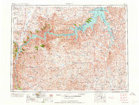
1964 Map of Jordan
USGS Topo · Published 1964About this map
Fort Peck Reservoir dominates the northern landscape of this Garfield County survey, its intricate shoreline carving deep into the Fort Peck Game Range. The map reveals a mid-century Montana backcountry defined by isolated schools and ranches, such as the Robertson Brothers Ranch and Regina School, which served the scattered agricultural community. The terrain is marked by dramatic coulees like Dog Creek Coulee and Castle Coulee, which channel water toward the reservoir's expansive reach.
Find a feature on this map
55 named features on this map. Tap any name to fly to it.
Don’t see what you’re looking for? This feature index may not catch every label — zoom into the map to look around manually.
Map Details
Editions of this 1964 Jordan Map
This is the sole edition of this map. No revisions or reprints were ever made.
Other maps of this area
1914 · Nashua
USGS Topo · 1:62,500
1915 · Frazer
USGS Topo · 1:62,500
1915 · Oswego
USGS Topo · 1:62,500
1916 · Nashua
USGS Topo · 1:62,500
1943 · Glasgow
USGS Topo · 1:125,000

1953 · Miles City
USGS Topo · 1:250,000
1953 · Havre
USGS Topo · 1:250,000
1954 · Jordan
USGS Topo · 1:250,000
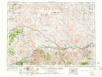
1954 · Forsyth
USGS Topo · 1:250,000
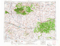
1954 · Roundup
USGS Topo · 1:250,000