Old Maps of DY Junction, Montana for Academic Research
Study the evolution of DY Junction with 10 high-resolution historic maps. Whether you're teaching, researching, or modeling changes in land use, these maps provide essential visual documentation of urban, environmental, and geographic change.
- Analyze long-term change: Track patterns in development, transportation, and natural features.
- Ideal for environmental or urban studies: Support academic projects with primary historical map data.
- Use in the classroom or lab: Educators and researchers rely on these maps to bring historical context to life.
These maps are a powerful tool for teaching, research, and visualizing how DY Junction has changed over the decades.
DY Junction, MT maps
(10)- 1943 Map of Landusky
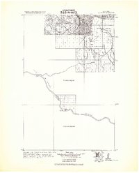 1943 Landusky1943 Print · USGSPhillips County during the early 1940s is shown here as a landscape of isolated mountain settlements and the wild Missouri Breaks. Researchers can trace the layout of Landusky, the mountain peaks of the Jefferson National Forest, and river landmarks such as Cow Island.
 - 1954 Map of Lewistown, 1967 Print
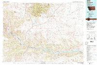
 1954 Lewistown1967 Print · USGSCentral Montana at the height of the mid-century rail era reveals a landscape shaped by the Judith River and high mountain ranges. Trace the old lines of the Great Northern through Lewistown and Denton, or locate sites like Giltedge and Landusky.3 unique versions available
 - 1959 Map of Lewistown
 1959 Lewistown1959 Print · USGSCentral Montana in the mid-1950s shows a landscape defined by the winding Missouri River and the rise of the South Moccasin Mtns. Researchers can trace the rail lines of the Great Northern through towns like Winifred and locate the Cat Creek Oil Field.3 unique versions available
 - 1971 Map of D Y Junction, 1975 Print
 1971 D Y Junction1975 Print · USGSPhillips County, Montana, is shown in the early 1970s as a landscape of ridges and ranch-land infrastructure. Researchers can trace the development of local transit at DY Junction and locate water sources like Phillips Reservoir and Mud Spring.
 - 1984 Map of Zortman
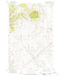
 1984 Zortman1984 Print · USGSCentral Montana in the mid-eighties shows a vast landscape of tribal lands and protected wilderness along the Missouri River breaks. Genealogists and historians can trace the remote settlements of Zortman and Landusky or locate landmarks like Mission Peak and D V Junction.
 - 2011 Map of D Y Junction, 2011 Print
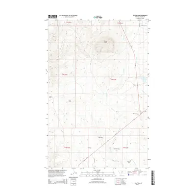
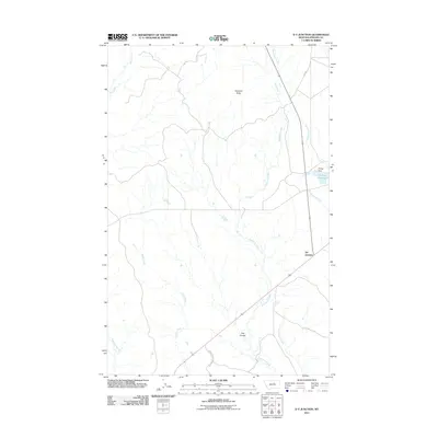 2011 D Y Junction2011 Print · USGSCovers DY Junction, including Phillips County, United States, and other nearby areas
 - 2014 Map of D Y Junction, 2014 Print
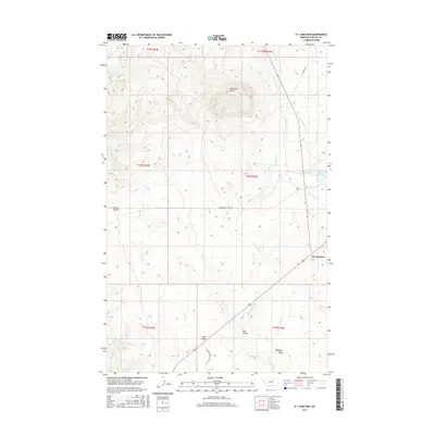
 2014 D Y Junction2014 Print · USGSCovers DY Junction, including Phillips County, United States, and other nearby areas
 - 2017 Map of D Y Junction, 2017 Print
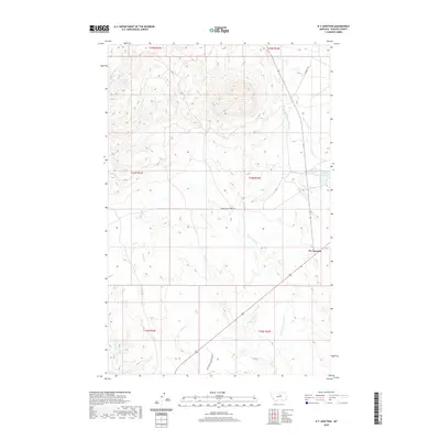
 2017 D Y Junction2017 Print · USGSCovers DY Junction, including Phillips County, United States, and other nearby areas
 - 2020 Map of D Y Junction, 2020 Print
 2020 D Y Junction2020 Print · USGSCovers DY Junction, including Phillips County, United States, and other nearby areas
 - 2024 Map of D Y Junction, 2024 Print
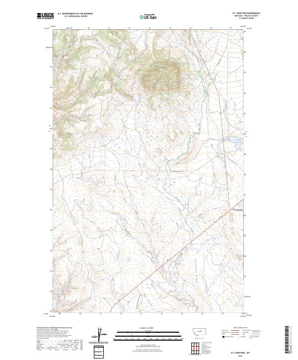 2024 D Y Junction2024 Print · USGSPhillips County is documented here in the 2020s, showing a transition from protected monument lands to high prairie ridges. Researchers can trace remote routes like Power Plant Ferry Rd and locate landmarks such as Thornhill Butte and DY Junction.
End of results
Showing maps 1-10 of 10
Frequently asked questions
- What are the different types of historical maps available for DY Junction?
- What is the oldest map of DY Junction?
- Where can I purchase historical maps of DY Junction for my home or office?
- Where can I download high-res historical maps of DY Junction?
- Are there historical topographic maps available for DY Junction?
- Is there historical aerial imagery available for DY Junction?
- Where are historical maps of DY Junction sourced from?