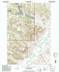
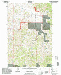
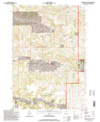
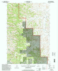
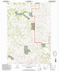
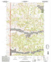
1990s Maps of Powder River County, Montana
Explore 24 historic maps of Powder River County from the 1990s. These maps offer a rare glimpse into what life looked like during the 1990s — showing old roads, neighborhoods, homes, and landmarks that have changed or disappeared over time.
Whether you're researching your family's past, planning a metal detecting trip, or studying how Powder River County's landscape evolved across the 1990s, these high-resolution maps are a powerful tool for exploring the history of this region.
- Focus on a specific era: All maps on this page are from the 1990s, giving you a focused view of this time period.
- See what’s changed: Compare century-old streets, trails, and buildings to today's modern landscape using overlays and satellite layers.
- Research with precision: Use these maps for genealogy, historical research, land use analysis, or educational projects.
- View, download, or print: Maps are fully viewable online in high resolution, and can be downloaded or printed for your own records.
Start exploring Powder River County's history through authentic maps from the 1990s. This is your window into the past.
Powder River County, MT maps
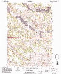
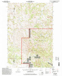
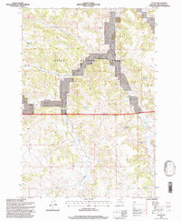
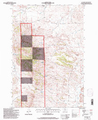
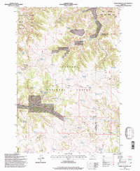
(24)- 1995 Map of King Mountain, 1998 Print
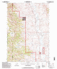 1995 King Mountain1998 Print · USGSPowder River and Rosebud Counties are documented here in the mid-nineties, showing the rugged ranching and forest lands of southeastern Montana. Genealogists and historians can trace the network of water sources and isolated sites like Genie, Paget, and the King Mountain Hiking and Riding Area.
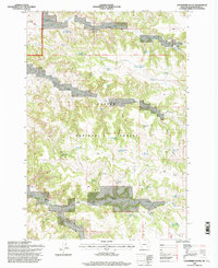
 - 1995 Map of Bloom Creek, 1998 Print
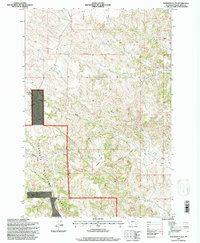
 1995 Bloom Creek1998 Print · USGSPowder River County ranchlands are documented here in the mid-1990s, showcasing the essential water infrastructure of the era. Researchers can trace the drainage of Bloom Creek and locate remote landmarks like Wolf Den Spring and Rimrock Reservoir.
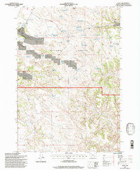
 - 1995 Map of Beaver Creek School, 1998 Print
 1995 Beaver Creek School1998 Print · USGSIn the mid-1990s, the Powder River ranching country of Montana was still defined by its isolated schools and essential water reservoirs. Genealogists and historians can trace family-named landmarks like Beaver Creek School, the settlement of Sartin, and localized sites like the Grave and Schiller Reservoir.
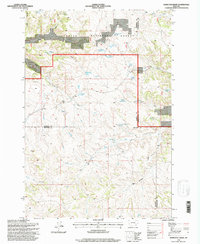
 - 1995 Map of Threemile Buttes, 1998 Print
 1995 Threemile Buttes1998 Print · USGSPowder River County is shown during the mid-nineties as a vast expanse of national forest and private ranching interests. Researchers can locate the Bottlee School, Sterling Mine, and numerous family-named landmarks like Samuelson Ranch or Doonan Spring.
 - 1995 Map of Reanus Cone, 1998 Print
 1995 Reanus Cone1998 Print · USGSCuster National Forest in the mid-1990s reveals a specialized landscape of high-plains water management and rural schooling. Genealogists and historians can trace local landmarks like the Billup School, industrial footprints at Reanus Well, and the remote Yonkee Cutoff.
 - 1995 Map of Samuelson Ranch, 1998 Print
 1995 Samuelson Ranch1998 Print · USGSPowder River Basin ranching and the eastern edge of the national forest are captured here in the mid-1990s. Genealogists and researchers can locate Samuelson Ranch, the historic Camps Pass School, and numerous water sources like Manning Spring.
 - 1995 Map of North Stacey School, 1998 Print
 1995 North Stacey School1998 Print · USGSCuster and Powder River counties are captured in the mid-1990s as this ranching landscape maintains its remote character. Genealogists and local historians can locate the North Stacey School and North Stacey Cem near the slopes of Liscom Mtn.
 - 1995 Map of Fort Howes, 1998 Print
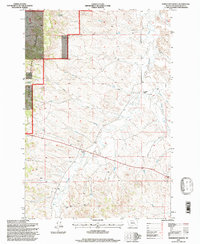
 1995 Fort Howes1998 Print · USGSPowder River County during the mid-nineties shows a landscape of national forest lands and cattle country defined by the Otter Creek valley. Local historians can locate the Fort Howes (Historical Site), the Otter Creek School, and numerous named springs used for ranching.
 - 1995 Map of Cook Creek Reservoir, 1998 Print
 1995 Cook Creek Reservoir1998 Print · USGSPowder River County, Montana, is shown in the mid-1990s as a landscape of managed forest and high-plains water sources. Researchers can trace the drainages of Cook Mountain to find local landmarks like Colbert Coulee Well and the Cook Creek Reservoir.
 - 1995 Map of Goodspeed Butte, 1998 Print
 1995 Goodspeed Butte1998 Print · USGSPowder River County ranchlands and national forest terrain are captured here in the mid-1990s, highlighting the critical water network of the Montana high plains. Researchers can trace localized ranching history through water features like Ash Creek Reservoir No 2, Tate Well, and Elk Creek Sawmill Spring.
 - 1995 Map of Sayle, 1998 Print
 1995 Sayle1998 Print · USGSIn the mid-1990s, the Montana ranching country around Sayle remained a landscape of scattered water catchments and forest service lands. Researchers can trace the development of local water resources through features like Coal Mine Reservoir, Antelope Well, and Yankee Spring.
 - 1995 Map of Hamilton Draw, 1998 Print
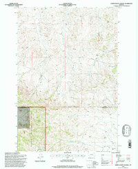
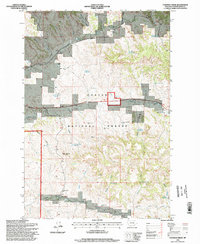
 1995 Hamilton Draw1998 Print · USGSThe high plains of Rosebud County during the 1990s are defined by the intersection of three county lines and managed forest lands. Genealogists and historians can trace the vital water sources and ranching infrastructure of the era, from Tooley Spring to the Round Cow Reservoir.
 - 1995 Map of Otter, 1998 Print
 1995 Otter1998 Print · USGSPowder River County in the mid-1990s reveals a ranching and forestry landscape defined by its vital water sources. Researchers can trace land use through numerous named stock ponds like Happy Coulee Reservoir and Fletcher Reservoir, or locate landmarks such as Hoover Draw.
 - 1995 Map of Stacey, 1998 Print
 1995 Stacey1998 Print · USGSPowder River County ranching and forest lands are captured in detail during the late twentieth century. Researchers can locate remote landmarks like the South Stacey School, Whitetail Cabin, and the fire lookout atop Liscom Butte.
 - 1995 Map of Phillips Butte, 1998 Print
 1995 Phillips Butte1998 Print · USGSPowder River County in the mid-1990s reveals a ranching landscape managed within the Custer National Forest. Researchers can trace vital water sources and landmarks like Phillips Butte, Diamond Butte, and Mud Turtle Spring.
 - 1995 Map of Yager Butte, 1998 Print
 1995 Yager Butte1998 Print · USGSSoutheastern Montana's high-plains geography is captured here in the mid-1990s as a landscape of forest management and vital water resources. Researchers can trace ranching and forestry infrastructure through named sites like Yager Butte, the Lookout, and Shorty Ridge Reservoir.
 - 1995 Map of Elk Ridge, 1998 Print
 1995 Elk Ridge1998 Print · USGSEastern Montana rangeland and the heights of the Custer National Forest are documented in this mid-nineties survey. Local researchers can locate isolated landmarks like the Horkin Creek School, Griffin Pass, and numerous stock reservoirs.
 - 1995 Map of Hodsdon Flats, 1998 Print
 1995 Hodsdon Flats1998 Print · USGSThe high plateaus of Powder River County are captured here in the mid-1990s within the Custer National Forest. Researchers can trace old stock-water sources like Turtle Reservoir and Mason Spring or locate landmarks such as Gardner Butte.
 - 1995 Map of Coleman Draw, 1998 Print
 1995 Coleman Draw1998 Print · USGSPowder River County ranching and water management are the focus of this mid-nineties survey in the Custer National Forest. Researchers can trace old rural infrastructure like the Home Creek School and family-named landmarks including Hantz Reservoir and Stafford Well.
 - 1995 Map of Hayes Point, 1998 Print
 1995 Hayes Point1998 Print · USGSCuster and Powder River counties are shown in the mid-1990s as a landscape of forest management and energy extraction. Researchers can trace the drainage systems of Liscom Creek and The Breaks Coulee or locate remote sites like Liscom Well and Hayes Point.
 - 1995 Map of Poker Jim Butte, 1998 Print
 1995 Poker Jim Butte1998 Print · USGSSoutheastern Montana's high plains and forest lands are captured in the mid-nineties, showing a landscape defined by ranching water works and conservation. Researchers can trace remote water sources like Emma Kraft Springs and landmarks such as Poker Jim Butte or the Hagen Debris Dam.
 - 1995 Map of Sonnette, 1998 Print
 1995 Sonnette1998 Print · USGSPowder River County is captured in the mid-1990s as a landscape of isolated ranching hubs and seasonal drainages. Genealogists and historians can trace the rural layout of Sonnette, locate the Mitchell School, and identify old sites like Two Tree Mine.
 - 1995 Map of Willow Crossing, 1998 Print
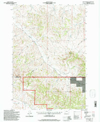
 1995 Willow Crossing1998 Print · USGSPowder River County ranching and mining lands are captured here in the mid-1990s, where the Rosebud County line meets the national forest. Trace local history at the Willow Crossing Cem or locate industrial sites like the Coal Creek Mine and Red Shale hills.
 - 1995 Map of Home Creek Butte, 1999 Print
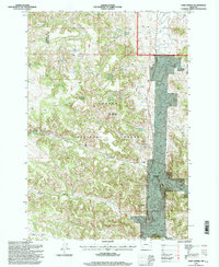
 1995 Home Creek Butte1999 Print · USGSCuster National Forest and the high country of Powder River County are captured here during the mid-nineties. Researchers can locate remote water sources and landmarks like Camps Pass, Home Creek Butte, and the interestingly named Schoolhouse Draw.
End of results
Showing maps 1-24 of 24
Top cities of Powder River County
Frequently asked questions
- What are the different types of historical maps available for Powder River County?
- What is the oldest map of Powder River County?
- Where can I purchase historical maps of Powder River County for my home or office?
- Where can I download high-res historical maps of Powder River County?
- Are there historical topographic maps available for Powder River County?
- Is there historical aerial imagery available for Powder River County?
- Where are historical maps of Powder River County sourced from?