2020s Maps of Powder River County, Montana
Explore 163 historic maps of Powder River County from the 2020s. These maps offer a rare glimpse into what life looked like during the 2020s — showing old roads, neighborhoods, homes, and landmarks that have changed or disappeared over time.
Whether you're researching your family's past, planning a metal detecting trip, or studying how Powder River County's landscape evolved across the 2020s, these high-resolution maps are a powerful tool for exploring the history of this region.
- Focus on a specific era: All maps on this page are from the 2020s, giving you a focused view of this time period.
- See what’s changed: Compare century-old streets, trails, and buildings to today's modern landscape using overlays and satellite layers.
- Research with precision: Use these maps for genealogy, historical research, land use analysis, or educational projects.
- View, download, or print: Maps are fully viewable online in high resolution, and can be downloaded or printed for your own records.
Start exploring Powder River County's history through authentic maps from the 2020s. This is your window into the past.
Powder River County, MT maps
(163)- 2020 Map of Pocochichee Butte, 2020 Print
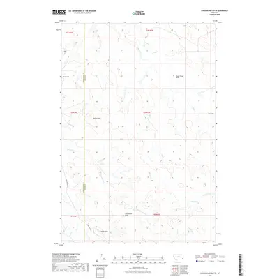 2020 Pocochichee Butte2020 Print · USGSSoutheast Montana rangelands appear here in 2020, where the high plains break into a series of distinctive buttes and draws. Genealogists and historians can trace the border of Powder River and Carter Counties near Pocochichee Butte and the Honeycomb Hills.
 - 2020 Map of Pentecost Reservoir, 2020 Print
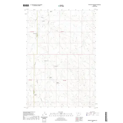 2020 Pentecost Reservoir2020 Print · USGSPowder River and Carter counties are shown here in 2020, where ranching life relies on a intricate system of seasonal draws and canyons. Researchers can trace the water network from Pentecost Reservoir through Cedar Canyon and Pentecost Draw.
 - 2020 Map of Davis Creek West, 2020 Print
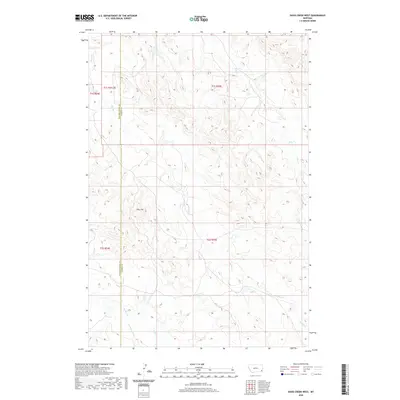 2020 Davis Creek West2020 Print · USGSPowder River County and Carter County meet in this corner of the Montana high plains during the early twenty-first century. Researchers can trace the rugged drainage of Pine Hill and follow the intricate paths of Stump Creek and Honeycomb Creek.
 - 2020 Map of Blacktail Creek SW, 2020 Print
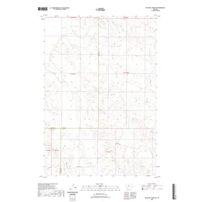 2020 Blacktail Creek SW2020 Print · USGSSoutheast Montana ranch country is mapped here at the meeting of Powder River, Custer, and Carter Counties. You can trace the path of Powderville Rd as it winds through the drainage basins of Whitetail Creek and Spring Creek.
 - 2020 Map of Knudson Draw, 2020 Print
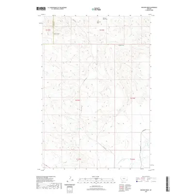 2020 Knudson Draw2020 Print · USGSSoutheastern Montana's ranching country appears in high detail in this 2020 survey of the Powder River and Carter County line. Researchers can locate vital water sources like Selway Spring and trace the paths of Crow Creek Rd through Kuster Canyon.
 - 2020 Map of Belle Creek SW, 2020 Print
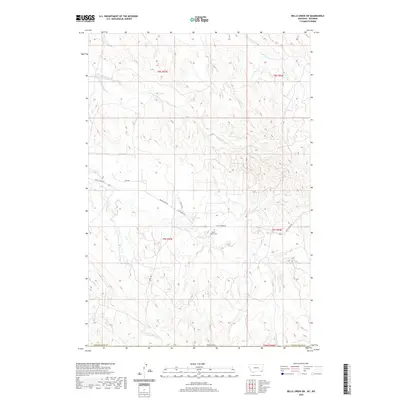 2020 Belle Creek SW2020 Print · USGSThe Wyoming-Montana borderlands are captured here in the early twenty-first century, showing a landscape of remote rangelands and high plains. Genealogists and local historians can locate the Ranch Creek Cem and trace seasonal watercourses like Prairie Dog Cr and Ranch Cr.
 - 2020 Map of Coalwood, 2020 Print
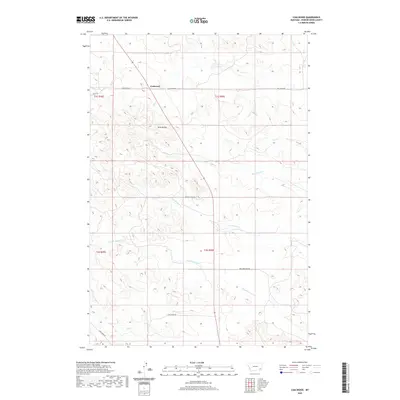 2020 Coalwood2020 Print · USGSPowder River County ranching country is mapped here in recent years, showing the intersection of remote rural life and the high plains. Researchers can trace land ties along Hay Creek Rd and locate the Twin Buttes or the small settlement at Coalwood.
 - 2020 Map of Belle Creek South, 2020 Print
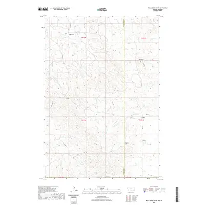 2020 Belle Creek South2020 Print · USGSSoutheast Montana ranching country is captured here in the early twenty-first century as it straddles the Powder River and Carter county lines. Researchers can locate family landmarks like the Ridge Cem or trace the rural routes of Dinstel's Rd and Harris Rd.
 - 2020 Map of Fighting Butte, 2020 Print
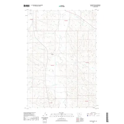 2020 Fighting Butte2020 Print · USGSThe high plains of Powder River County are captured in this recent survey, showcasing a land defined by the Little Powder River and its many tributaries. Researchers can trace land use through features like Waite Ditch and family-named roads such as Phillippi Rd and Graham Rd.
 - 2020 Map of Rattlesnake Hill, 2020 Print
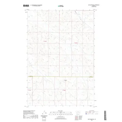 2020 Rattlesnake Hill2020 Print · USGSSoutheastern Montana rangelands appear in this recent survey of the border between Custer and Powder River counties. Map collectors and land researchers can trace the course of Horse Cr, identify the high ground of Rattlesnake Hill, and follow the remote path of Powderville Rd.
 - 2020 Map of Samuelson Ranch, 2020 Print
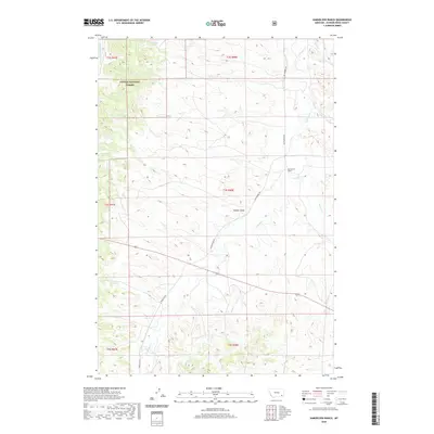 2020 Samuelson Ranch2020 Print · USGSPowder River County ranch lands and timbered forest ridges are documented here in the early twenty-first century. Researchers can trace the layout of the Samuelson Ranch and remote water sources like Manning Spring and Pumpkin Cr.
 - 2020 Map of Volborg, 2020 Print
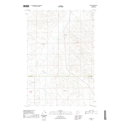 2020 Volborg2020 Print · USGSIn the rangelands of southeastern Montana, the small community of Volborg serves as a remote anchor for the surrounding ranching country. Researchers can trace the drainage basins of Pumpkin Cr and Deer Cr alongside historic travel routes like Bird Divide Rd.
 - 2020 Map of Pine Creek, 2020 Print
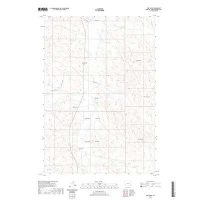 2020 Pine Creek2020 Print · USGSPowder River County, Montana, is shown here in the modern era as a landscape of isolated buttes and seasonal drainages. Genealogists and land researchers can trace property access and local landmarks from Little Powder River to Rocky Butte and Bell Tower.
 - 2020 Map of Phillips Butte, 2020 Print
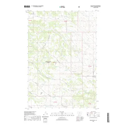 2020 Phillips Butte2020 Print · USGSPowder River County at the start of the 2020s remains a landscape of ranching and remote forest land. Researchers can trace essential water infrastructure and landmarks like Coal Mine Spring, Phillips Butte, and the Sonnette Road corridor.
 - 2020 Map of Bloom Creek, 2020 Print
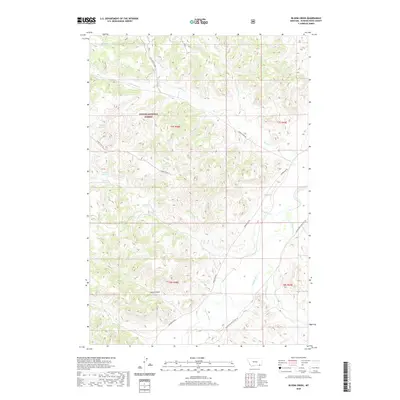 2020 Bloom Creek2020 Print · USGSCuster National Forest and the winding Powder River are shown here as they appeared in 2020. Researchers can trace land use through local landmarks like Wolf Den Spring, Dutch Gulch, and numerous upland catchments like Clay Reservoir.
 - 2020 Map of Little Pilgrim Butte, 2020 Print
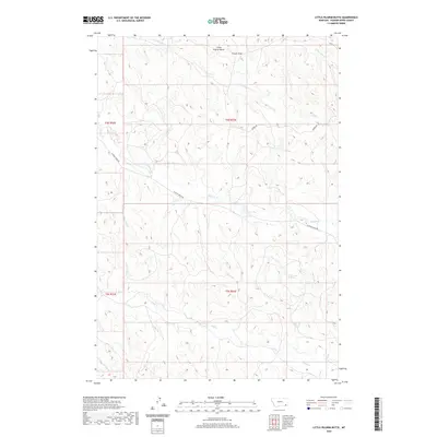 2020 Little Pilgrim Butte2020 Print · USGSPowder River County is shown here in the 2020s, featuring the remote and ridge-cut terrain south of the Tongue River. Researchers can trace the winding paths of Little Pilgrim Cr, locate Edwards Spring, and navigate the route of Pilgrim Creek Rd.
 - 2020 Map of Rattlesnake Ridge, 2020 Print
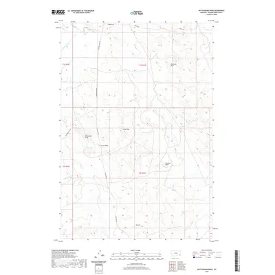 2020 Rattlesnake Ridge2020 Print · USGSPowder River County is shown in the modern era as a landscape of prominent ridges and drainage basins. Genealogists and historians can trace rural routes like Powderville East Rd to landmarks such as Rattlesnake Ridge and Soldiers Mt.
 - 2020 Map of Stacey, 2020 Print
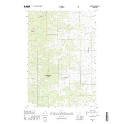 2020 Stacey2020 Print · USGSStacey and the surrounding Powder River County uplands appear in this modern survey of Montana's high plains and timberlands. Local historians can trace water rights and land use through features like Horse Pasture Reservoir, Liscom Butte, and the Custer National Forest.
 - 2020 Map of Baldy Peak, 2020 Print
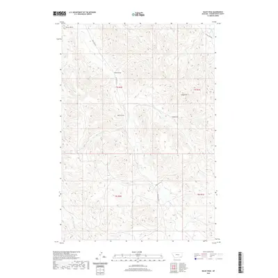 2020 Baldy Peak2020 Print · USGSThe high rangelands of Powder River County are captured here in the early twenty-first century. Genealogists and historians can trace the draws and creek beds that define these family lands, including Baking Powder Cr, Allison Draw, and Terrett Butte.
 - 2020 Map of Sanburn Reservoir, 2020 Print
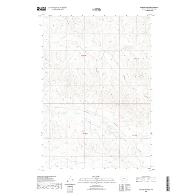 2020 Sanburn Reservoir2020 Print · USGSPowder River County at the start of the 2020s remains a landscape defined by its vital water sources and remote range roads. Researchers can trace the drainages of Belle Creek and find the legacy of early conservation at CCC Reservoir and Sanburn Reservoir.
 - 2020 Map of Epsie, 2020 Print
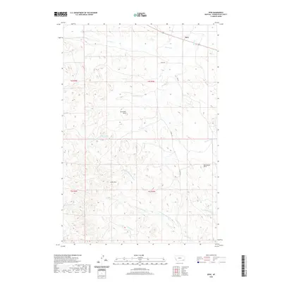 2020 Epsie2020 Print · USGSPowder River County ranching country is mapped here in the early twenty-first century, showing the scattered outposts of this high plains region. Researchers can trace the drainage of Mizpah Cr and locate topographical landmarks like Castle Rock and Mc Allister Butte.
 - 2020 Map of Box Elder Creek, 2020 Print
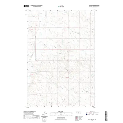 2020 Box Elder Creek2020 Print · USGSPowder River County ranchlands are documented here in the early twenty-first century, showing the remote stream networks and access roads of eastern Montana. Researchers can trace land divisions along Camp Creek Rd and identify local drainages like Two Moons Creek and Box Elder Creek.
 - 2020 Map of Bear Skull Mountain, 2020 Print
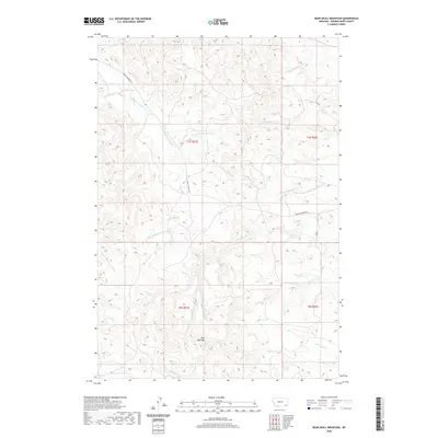 2020 Bear Skull Mountain2020 Print · USGSPowder River County ranchlands are documented here in the early twenty-first century, centered on a prominent topographic divide. Researchers can trace remote access routes like Baking Powder Rd and explore the headwaters of Bear Skull Cr and Allison Cr.
 - 2020 Map of Belle Creek North, 2020 Print
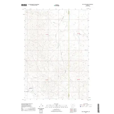 2020 Belle Creek North2020 Print · USGSSoutheast Montana is documented here in the early twenty-first century, showing the remote ranching landscape of Powder River County. Researchers can trace the local road network around the settlement of Belle Creek and follow the seasonal course of Spring Cr.
 - 2020 Map of Oliphant Butte, 2020 Print
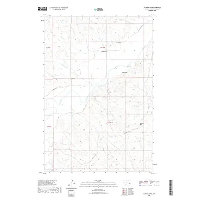 2020 Oliphant Butte2020 Print · USGSPowder River County at the start of the 2020s remains a landscape defined by its river valleys and high buttes. Local historians and land researchers can trace the drainages of Mushroom Cr and Oliphant Cr or locate landmarks like Oliphant Butte.
Showing maps 1-25 of 163
Top cities of Powder River County
Frequently asked questions
- What are the different types of historical maps available for Powder River County?
- What is the oldest map of Powder River County?
- Where can I purchase historical maps of Powder River County for my home or office?
- Where can I download high-res historical maps of Powder River County?
- Are there historical topographic maps available for Powder River County?
- Is there historical aerial imagery available for Powder River County?
- Where are historical maps of Powder River County sourced from?