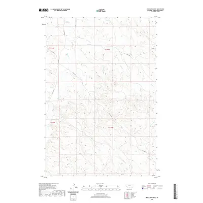
2020 Map of Box Elder Creek
USGS Topo · Published 2020About this map
Box Elder Creek and Pumpkin Creek define the drainage patterns of this reach of Powder River County, where a complex network of intermittent streams carves through the high plains. The landscape is structured by several key ranching and access routes, including Big Pumpkin Rd and Camp Creek Rd, which follow the natural contours of the land. Historically, these drainages were vital for livestock in a semi-arid environment, with names like Double Corral Creek and Two Moons Creek suggesting early settlement use and possible Indigenous associations. Small watercourses like Salty Creek and Rough Creek break the terrain, while Sand Coulee and Lake Creek mark the varied geological features of the eastern Montana rangelands.
Find a feature on this map
20 named features on this map. Tap any name to fly to it.
Don’t see what you’re looking for? This feature index may not catch every label — zoom into the map to look around manually.
Map Details
Editions of this 2020 Box Elder Creek Map
This is the sole edition of this map. No revisions or reprints were ever made.
Other maps of this area

1954 · Ekalaka
USGS Topo · 1:250,000

1956 · Ekalaka
USGS Topo · 1:250,000

1958 · Ekalaka
USGS Topo · 1:250,000

1965 · Ekalaka
USGS Topo · 1:250,000

1966 · Elk Ridge
USGS Topo · 1:24,000

1966 · Samuelson Ranch
USGS Topo · 1:24,000

1973 · Olive
USGS Topo · 1:24,000

1973 · Box Elder Creek
USGS Topo · 1:24,000

1973 · Coalwood
USGS Topo · 1:24,000
1973 · Divide School
USGS Topo · 1:24,000