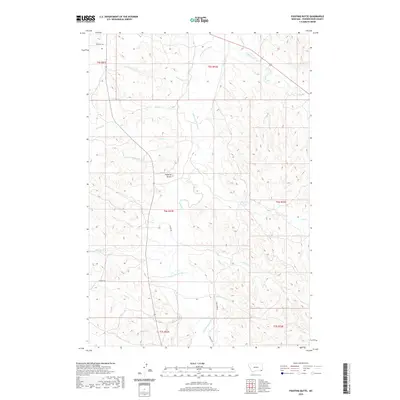
2020 Map of Fighting Butte
USGS Topo · Published 2020About this map
Fighting Butte serves as a central landmark for this section of Powder River County, overseeing a network of drainages that feed the Little Powder River. The landscape is defined by its water-cut topography, where numerous seasonal and perennial flows including Fighting Butte Cr, Antelope Cr, and Spring Cr converge. The presence of Waite Ditch in the northern reaches suggests the historical and ongoing importance of water management for local agriculture in this semi-arid environment. Ranching infrastructure is evident through the named access routes like Phillippi Rd and Graham Rd, which provide passage through the complex terrain. The map details the transition between various township and range sections, from t5s r51e to t7s r53e, illustrating the vast, organized nature of Montana's land divisions and the persistent isolation of the high plains.
Find a feature on this map
27 named features on this map. Tap any name to fly to it.
Don’t see what you’re looking for? This feature index may not catch every label — zoom into the map to look around manually.
Map Details
Editions of this 2020 Fighting Butte Map
This is the sole edition of this map. No revisions or reprints were ever made.
Other maps of this area

1954 · Ekalaka
USGS Topo · 1:250,000

1956 · Ekalaka
USGS Topo · 1:250,000

1958 · Ekalaka
USGS Topo · 1:250,000

1965 · Ekalaka
USGS Topo · 1:250,000

1970 · Pine Creek
USGS Topo · 1:24,000

1970 · Sanburn Reservoir
USGS Topo · 1:24,000

1970 · Bear Skull Mountain
USGS Topo · 1:24,000

1973 · Monday Creek
USGS Topo · 1:24,000
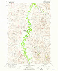
1973 · Fighting Butte
USGS Topo · 1:24,000
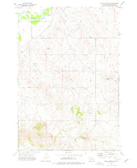
1973 · Eldon Mountain
USGS Topo · 1:24,000