
1970 Map of Pine Creek
USGS Topo · Published 1973About this map
The Little Powder River meanders through this portion of Powder River County, Montana, defining a landscape shaped by water and resource extraction. The 1970 field check reveals a reliance on groundwater, evidenced by numerous labels for Flowing Well and Well scattered across the drainages of Allison Creek and Spring Creek. The terrain is marked by distinctive landmarks like the Rocky Butte and the Bell Tower, which served as navigation points in a region of rolling breaks and intermittent draws. Industrial activity is localized around several Gravel Pit sites, while the presence of scattered Drill Hole markers indicates ongoing mineral or oil exploration. This survey captures the transition between the uplands near Bear Creek and the alluvial valley where the river creates a narrow green corridor through the arid plains.
Find a feature on this map
25 named features on this map. Tap any name to fly to it.
Don’t see what you’re looking for? This feature index may not catch every label — zoom into the map to look around manually.
Map Details
Editions of this 1970 Pine Creek Map
This is the sole edition of this map. No revisions or reprints were ever made.
Other maps of this area

1954 · Ekalaka
USGS Topo · 1:250,000

1956 · Ekalaka
USGS Topo · 1:250,000

1958 · Ekalaka
USGS Topo · 1:250,000

1965 · Ekalaka
USGS Topo · 1:250,000

1970 · Sanburn Reservoir
USGS Topo · 1:24,000

1970 · Wild Bill Creek
USGS Topo · 1:24,000

1970 · Belle Creek SW
USGS Topo · 1:24,000
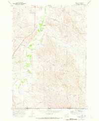
1970 · Biddle
USGS Topo · 1:24,000

1970 · Bear Skull Mountain
USGS Topo · 1:24,000
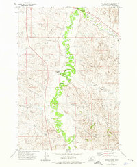
1973 · Fighting Butte
USGS Topo · 1:24,000