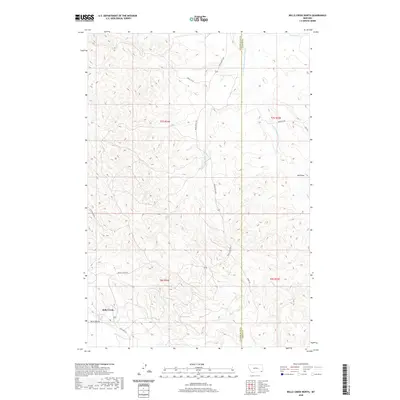
2020 Map of Belle Creek North
USGS Topo · Published 2020About this map
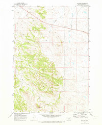
Belle Creek serves as the primary focal point of this map, situated in the southeastern corner of Montana. The landscape is characterized by the complex drainage systems of the Powder River basin, including the headwaters of Spring Cr which flow across the northern sections of the terrain. This 2020 edition provides a clear representation of the region's modern road network and land divisions within Powder River County, highlighting how the sparse settlement patterns of this high-plains environment have persisted through the early twenty-first century. The grid-based layout of the Public Land Survey System is visible throughout the area, revealing the historical structuring of ranchland and resource management in this corner of the state.
Find a feature on this map
2 named features on this map. Tap any name to fly to it.
Don’t see what you’re looking for? This feature index may not catch every label — zoom into the map to look around manually.
Map Details
Editions of this 2020 Belle Creek North Map
This is the sole edition of this map. No revisions or reprints were ever made.
Other maps of this area

1954 · Ekalaka
USGS Topo · 1:250,000

1956 · Ekalaka
USGS Topo · 1:250,000

1958 · Ekalaka
USGS Topo · 1:250,000

1965 · Ekalaka
USGS Topo · 1:250,000

1970 · Sanburn Reservoir
USGS Topo · 1:24,000
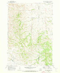
1970 · Belle Creek North
USGS Topo · 1:24,000
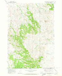
1970 · Belle Creek South
USGS Topo · 1:24,000

1970 · Belle Creek SW
USGS Topo · 1:24,000
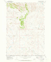
1970 · Stack Rocks
USGS Topo · 1:24,000
1970 · Hammond
USGS Topo · 1:24,000