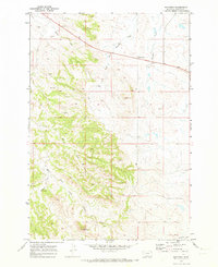
1970 Map of Hammond
USGS Topo · Published 1973About this map
Hammond and the high point of Belcher Mountain anchor this Carter County landscape during the late Vietnam era. The geography is defined by the winding course of the Little Powder River and the complex drainage systems of Boxelder Creek and the West Fork Boxelder Creek. The map documents a sparsely populated ranching region where the movement of water and livestock dictated the local economy. Several Drill Hole locations are noted across the terrain, reflecting the search for natural resources in the Powder River Basin. Transportation is largely confined to the corridor of Highway 212, which cuts across the northern half of the quadrangle. Other features like Spring Creek, Blowout Draw, and Ash provide specific landmarks for genealogists and local historians tracing land patents and family movements through this corner of Montana.
Find a feature on this map
11 named features on this map. Tap any name to fly to it.
Don’t see what you’re looking for? This feature index may not catch every label — zoom into the map to look around manually.
Map Details
Editions of this 1970 Hammond Map
This is the sole edition of this map. No revisions or reprints were ever made.
Other maps of this area

1954 · Ekalaka
USGS Topo · 1:250,000

1956 · Ekalaka
USGS Topo · 1:250,000

1958 · Ekalaka
USGS Topo · 1:250,000

1965 · Ekalaka
USGS Topo · 1:250,000
1970 · Belle Creek North
USGS Topo · 1:24,000
1970 · Belle Creek South
USGS Topo · 1:24,000
1970 · Stack Rocks
USGS Topo · 1:24,000
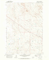
1970 · Greasy Hill
USGS Topo · 1:24,000
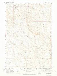
1970 · Hammond SE
USGS Topo · 1:24,000

1980 · Broadus
USGS Topo · 1:100,000