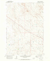
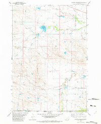
1970 Map of Greasy Hill
USGS Topo · Published 1973About this map
Greasy Hill rises as a central landmark in this 1970 study of southeastern Montana's high plains. The landscape is defined by an intricate drainage system, notably the winding courses of Wolf Creek and Willow Creek, which dominate the eastern and southern portions of the sheet. Surveyed by the U.S. Geological Survey and USC&GS, the topography reveals a sparsely populated ranching environment where life is centered around the vital water sources of the North Fork Willow Creek and Groat Creek. Small-scale industrial activity and land management are evident through several scattered Drill Holes and a major Pipeline cutting across the southern terrain. The map captures the remote character of Carter County just before the mid-1970s, illustrating how the natural draws of East Fork Groat Creek and Sleep Creek dictate the local geography.
Find a feature on this map
11 named features on this map. Tap any name to fly to it.
Don’t see what you’re looking for? This feature index may not catch every label — zoom into the map to look around manually.
Map Details
Editions of this 1970 Greasy Hill Map
This is the sole edition of this map. No revisions or reprints were ever made.
Other maps of this area

1954 · Ekalaka
USGS Topo · 1:250,000

1956 · Ekalaka
USGS Topo · 1:250,000

1958 · Ekalaka
USGS Topo · 1:250,000

1965 · Ekalaka
USGS Topo · 1:250,000
1970 · Stack Rocks
USGS Topo · 1:24,000
1970 · Hammond
USGS Topo · 1:24,000
1970 · Hammond SE
USGS Topo · 1:24,000

1981 · Alzada
USGS Topo · 1:100,000
1982 · Cochran Reservoir
USGS Topo · 1:24,000

1982 · Phillippi Reservoir
USGS Topo · 1:24,000