1970s Maps of Powder River County, Montana
Explore 63 historic maps of Powder River County from the 1970s. These maps offer a rare glimpse into what life looked like during the 1970s — showing old roads, neighborhoods, homes, and landmarks that have changed or disappeared over time.
Whether you're researching your family's past, planning a metal detecting trip, or studying how Powder River County's landscape evolved across the 1970s, these high-resolution maps are a powerful tool for exploring the history of this region.
- Focus on a specific era: All maps on this page are from the 1970s, giving you a focused view of this time period.
- See what’s changed: Compare century-old streets, trails, and buildings to today's modern landscape using overlays and satellite layers.
- Research with precision: Use these maps for genealogy, historical research, land use analysis, or educational projects.
- View, download, or print: Maps are fully viewable online in high resolution, and can be downloaded or printed for your own records.
Start exploring Powder River County's history through authentic maps from the 1970s. This is your window into the past.
Powder River County, MT maps
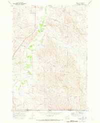
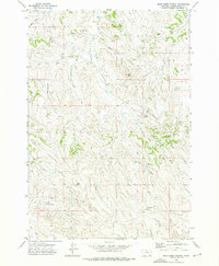
(63)- 1970 Map of Pine Creek, 1973 Print
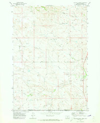
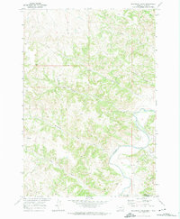
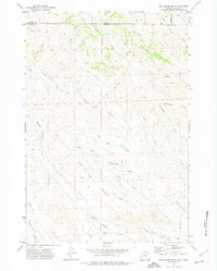
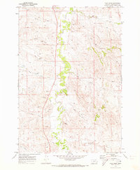 1970 Pine Creek1973 Print · USGSPowder River County in the early 1970s is a landscape of meandering waterways and emerging industry. Researchers can trace the development of the region through scattered Drill Hole sites and local landmarks like Rocky Butte and Bell Tower.
 - 1970 Map of Sanburn Reservoir, 1973 Print
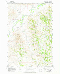
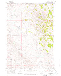
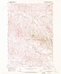 1970 Sanburn Reservoir1973 Print · USGSPowder River County ranch land is captured here in the early seventies during a period of energy exploration. Trace early water management and oil ventures through Sanburn Reservoir, various Oil Wells, and the CCC Reservoir.
 - 1970 Map of Belle Creek North, 1973 Print
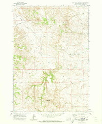
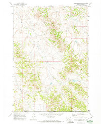
 1970 Belle Creek North1973 Print · USGSSoutheastern Montana is shown during a period of industrial growth in the early 1970s, as energy extraction transformed the high plains. Researchers can trace the development of Belle Creek and its remote Landing Strip alongside the Duncan Creek Sch.
 - 1970 Map of Belle Creek South, 1973 Print
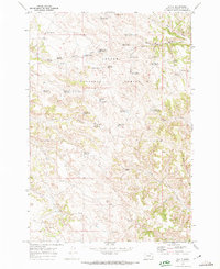
 1970 Belle Creek South1973 Print · USGSThe Montana-Wyoming borderlands at the start of the 1970s reveal a landscape in transition from ranching to energy. Researchers can locate the Walloth Sch, the Belle Creek Oil Field, and the Ridge Cem among the high plains.
 - 1970 Map of Moorhead, 1973 Print
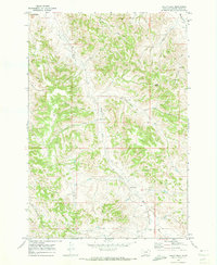
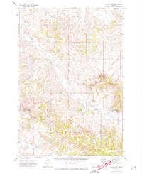
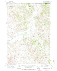
 1970 Moorhead1973 Print · USGSThe Montana-Wyoming border comes alive in the early seventies, centered on the Powder River and the small settlement of Moorhead. Trace the topographic detail of The Devils Backbone and find water markers like the Flowing Well and Gaging Sta.
 - 1970 Map of Wild Bill Creek, 1973 Print
 1970 Wild Bill Creek1973 Print · USGSThe Montana Wyoming borderlands are captured here in the early seventies, detailing a landscape of ranch land and energy prospecting. Trace the drainage of Wild Bill Creek and Blacktail Creek or locate scattered Drill Holes and an Oil Well from the era's oil boom.
 - 1970 Map of Baldy Peak, 1973 Print
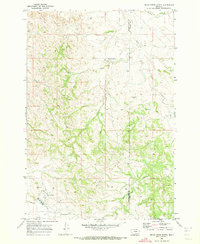
 1970 Baldy Peak1973 Print · USGSPowder River County ranching country is documented here during the early 1970s. Local researchers can locate rural landmarks like Butte Creek Sch, Rumph Sch, and the high point at Baldy Peak.
 - 1970 Map of Bloom Creek, 1973 Print
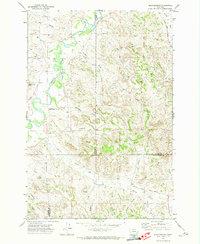
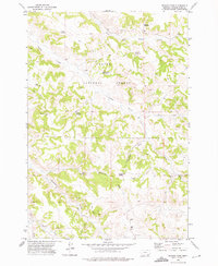
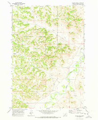 1970 Bloom Creek1973 Print · USGSThe Montana ranching country south of Broadus is captured here during the early seventies, centered on the rugged drainages of the Custer National Forest. Researchers can trace the network of vital upland water sources like Wolf Den Spring and Dunning Reservoir as they feed into the Powder River.2 unique versions available
 - 1970 Map of Belle Creek SW, 1973 Print
 1970 Belle Creek SW1973 Print · USGSThe Montana and Wyoming borderlands are captured here in the early 1970s as energy exploration reshaped the high plains. Genealogists and researchers can locate remote landmarks like the Ranch Creek Cem and trace the paths of Wright Creek and Prairie Dog Creek.2 unique versions available
 - 1970 Map of Biddle, 1973 Print
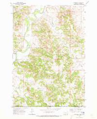
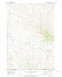
 1970 Biddle1973 Print · USGSBiddle and the surrounding ranchlands are documented here as they appeared in the early 1970s. You can trace the Little Powder River and find landmarks like the local Landing Strip, the Gravel Pit, and various Drill Holes.
 - 1970 Map of Huckins School, 1973 Print
 1970 Huckins School1973 Print · USGSThe Powder River breaks through this Montana ranching landscape in the early seventies, centered on the local Huckins School. Trace family-named landmarks and water sources like the Landing Strip, Flowing Well, and Hell Creek.
 - 1970 Map of Bay Horse, 1973 Print
 1970 Bay Horse1973 Print · USGSThe Montana-Wyoming border comes alive in this early 1970s survey of the Powder River country. Genealogists and historians can trace old routes like the Trail and Jeep Trail or locate early industrial sites marked as Drill Holes near Bay Horse.
 - 1970 Map of Bear Skull Mountain, 1973 Print
 1970 Bear Skull Mountain1973 Print · USGSIn the rangelands of Powder River County during the early seventies, the landscape was defined by its watercourses and high points. Researchers can trace the drainage patterns of Baking Powder Creek and locate landmarks like Bear Skull Mountain or local Gravel Pits.
 - 1970 Map of Sayle, 1974 Print
 1970 Sayle1974 Print · USGSPowder River County ranching country is captured here during the 1970s, showcasing the remote settlement of Sayle and the surrounding high plains. Genealogists and historians can trace family-named landmarks like Kueffer Reservoir, Burnside Well, and Yankee Spring.2 unique versions available
 - 1970 Map of Bradshaw Creek, 1974 Print
 1970 Bradshaw Creek1974 Print · USGSThe high plains along the Montana-Wyoming border are documented here in the early seventies, centered on the Powder River. Local researchers can trace old ranching infrastructure like corrals and remote water sources including a Flowing Well and Rough Creek.
 - 1970 Map of Three Bar Ranch, 1974 Print
 1970 Three Bar Ranch1974 Print · USGSThe Montana and Wyoming borderlands are captured here in the early seventies, showing the remote ranching country at the intersection of two states. Genealogists and researchers can trace the reaches of Three Bar Ranch and identify early industrial infrastructure like various Drill Holes and a Well near Three Bar Creek.
 - 1971 Map of Cabin Creek NW, 1974 Print
 1971 Cabin Creek NW1974 Print · USGSThe Montana and Wyoming borderlands are frozen in time here during the early seventies ranching and energy exploration era. Genealogists and historians can trace the intricate drainage of Cabin Creek and locate landmarks like Squaw Butte and Schoolhouse Prong.
 - 1971 Map of Hayes Point, 1974 Print
 1971 Hayes Point1974 Print · USGSSoutheastern Montana ranching country is documented here in the early seventies as the county line meets the national forest boundary. Researchers can trace historic access routes like Liscom Road and Beaver Creek Road past landmarks such as Hayes Point and Mullins Coulee.2 unique versions available
 - 1971 Map of Cabin Creek NE, 1974 Print
 1971 Cabin Creek NE1974 Print · USGSThe Montana-Wyoming border comes alive in the early seventies, showcasing a period of active energy exploration along the Powder River. You can trace the infrastructure of the Fence Creek Oil Field and remote landmarks like Hells Half Acre Canyon.
 - 1971 Map of Brandenberg, 1974 Print
 1971 Brandenberg1974 Print · USGSThe Tongue River valley meets the rugged breaks of Custer County in the early 1970s. Trace local landmarks like Brandenberg, find the isolated Grave near Goodale Creek, and follow the winding path of Beaver Creek Road.
 - 1971 Map of Black Draw, 1975 Print
 1971 Black Draw1975 Print · USGSCampbell County, Wyoming, is captured here in the early seventies, showing a high-plains landscape defined by ranching and the Powder River. Researchers can trace old property boundaries and water sources like L X Bar Draw, Water Gap, and scattered Oil Well sites.
 - 1971 Map of Box Elder Draw, 1975 Print
 1971 Box Elder Draw1975 Print · USGSAlong the Montana and Wyoming border in the early seventies, this landscape reveals a complex network of seasonal ranching drainages. Genealogists and historians can trace family-named landmarks like Dooley Draw, Grenell Draw, and Seventysix Creek.2 unique versions available
 - 1972 Map of Mitten Butte, 1975 Print
 1972 Mitten Butte1975 Print · USGSCampbell County ranching and energy exploration are captured here in the early seventies along the Montana border. Researchers can trace the development of the Rockypoint Field alongside landmarks like Trail Creek Ranch and the Rodeo Ground.
 - 1972 Map of Reanus Cone, 1975 Print
 1972 Reanus Cone1975 Print · USGSIn the early 1970s, this Montana ranching landscape in Powder River County was defined by its water-management network and isolated rural landmarks. Researchers can trace historic access routes like the Yonkee Cutoff and locate the site of the Billup Sch and Reanus Well.2 unique versions available
 - 1972 Map of Bear Creek School, 1975 Print
 1972 Bear Creek School1975 Print · USGSHigh-plains ranching country in Powder River County comes into focus during the early seventies. You can locate family history markers like Bufford Cem and Bear Creek School, or trace old tracks through Mac Alister Draw.
Showing maps 1-25 of 63
Top cities of Powder River County
Frequently asked questions
- What are the different types of historical maps available for Powder River County?
- What is the oldest map of Powder River County?
- Where can I purchase historical maps of Powder River County for my home or office?
- Where can I download high-res historical maps of Powder River County?
- Are there historical topographic maps available for Powder River County?
- Is there historical aerial imagery available for Powder River County?
- Where are historical maps of Powder River County sourced from?