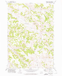
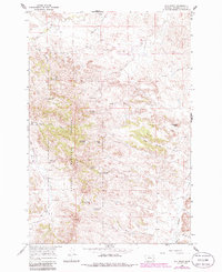
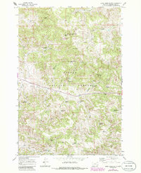
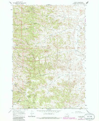
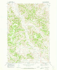
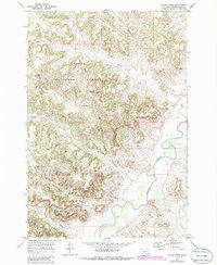
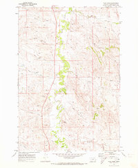
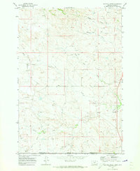
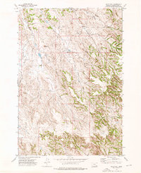
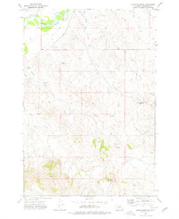
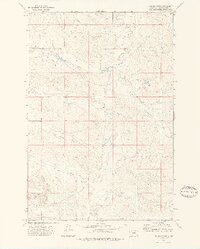
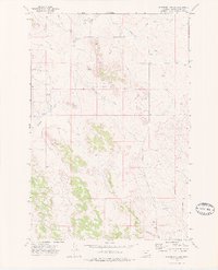
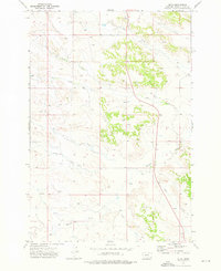
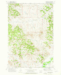
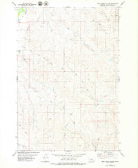
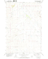
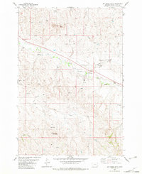
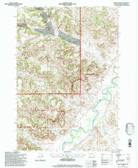
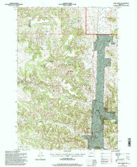
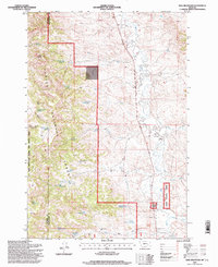
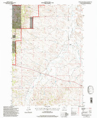
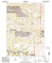
1972 Map of Reanus Cone
USGS Topo · Published 1975This historical map portrays the area of Reanus Cone in 1972, primarily covering Powder River County. Featuring a scale of 1:24000, this map provides a highly detailed snapshot of the terrain, roads, buildings, counties, and historical landmarks in the Reanus Cone region at the time. Published in 1975, it is one of 2 known editions of this map due to revisions or reprints.
Find a feature on this map
21 named features on this map. Tap any name to fly to it.
Don’t see what you’re looking for? This feature index may not catch every label — zoom into the map to look around manually.
Map Details
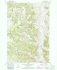
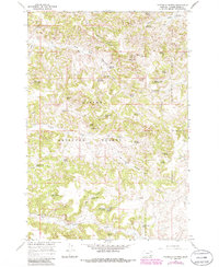
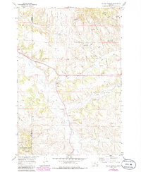
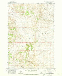
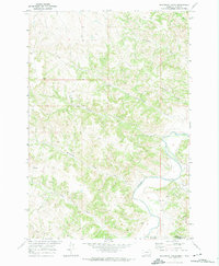
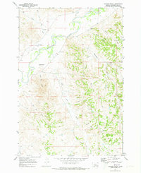
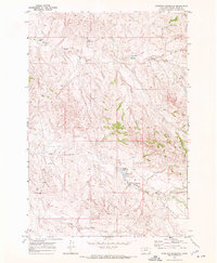
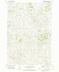
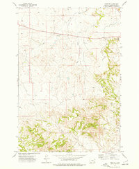
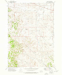
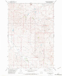
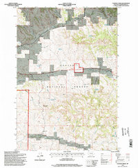
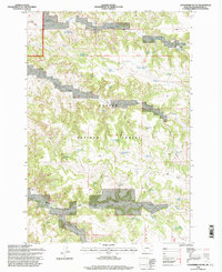
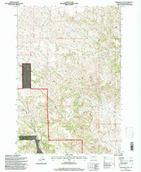
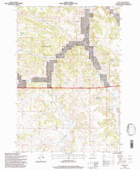
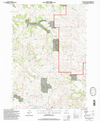
Editions of this 1972 Reanus Cone Map
2 editions found
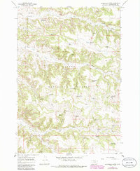
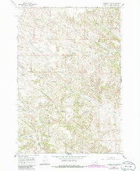
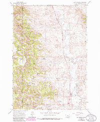
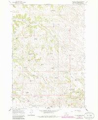
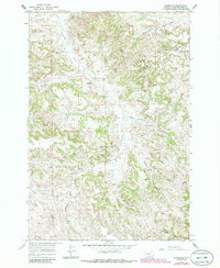
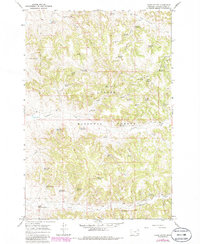
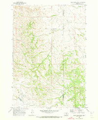
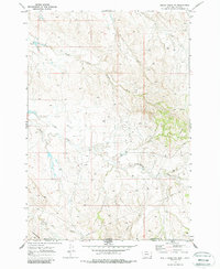
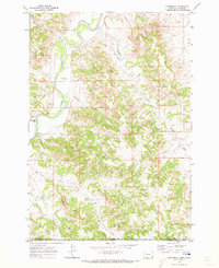
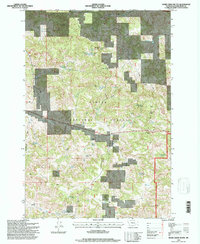
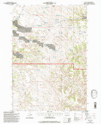
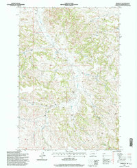
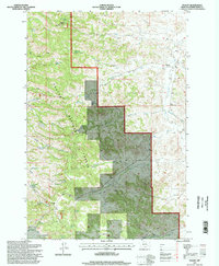
Historical Maps of Powder River County Through Time
78 maps found
1966 Beaver Creek School
Powder River County, MT
1966 Coleman Draw
Powder River County, MT
1966 Cook Creek Reservoir
Powder River County, MT
1966 Elk Ridge
Powder River County, MT
1966 Fort Howes
Powder River County, MT
1966 Goodspeed Butte
Powder River County, MT
1966 Hodsdon Flats
Powder River County, MT
1966 Home Creek Butte
Powder River County, MT
1966 King Mountain
Powder River County, MT
1966 Phillips Butte
Powder River County, MT

1966 Samuelson Ranch
Powder River County, MT
1966 Sonnette
Powder River County, MT
1966 Stacey
Powder River County, MT
1966 Threemile Buttes
Powder River County, MT
1966 Willow Crossing
Powder River County, MT
1967 Yager Butte
Powder River County, MT
1970 Baldy Peak
Powder River County, MT

1970 Bay Horse
Powder River County, MT
1970 Bear Skull Mountain
Powder River County, MT
1970 Belle Creek North
Powder River County, MT

1970 Belle Creek South
Powder River County, MT
1970 Belle Creek SW
Powder River County, MT
1970 Bloom Creek
Powder River County, MT
1970 Bradshaw Creek
Powder River County, MT
1970 Huckins School
Powder River County, MT
1970 Moorhead
Powder River County, MT
1970 Pine Creek
Powder River County, MT
1970 Sanburn Reservoir
Powder River County, MT
1970 Sayle
Powder River County, MT
1970 Three Bar Ranch
Powder River County, MT
1970 Wild Bill Creek
Powder River County, MT
1972 Bear Creek School
Powder River County, MT
1972 Otter
Powder River County, MT
1972 Reanus Cone
Powder River County, MT
1972 Sayle Hall
Powder River County, MT
1973 Box Elder Creek
Powder River County, MT
1973 Coalwood
Powder River County, MT
1973 Cross S School
Powder River County, MT
1973 Eldon Mountain
Powder River County, MT
1973 Epsie NE
Powder River County, MT
1973 Epsie
Powder River County, MT
1973 Fighting Butte
Powder River County, MT

1973 Hawkey Creek
Powder River County, MT
1973 Johnnie Creek
Powder River County, MT
1973 Leslie Creek
Powder River County, MT
1973 Lonesome Peak
Powder River County, MT
1973 Monday Creek
Powder River County, MT
1973 Moonlight Creek
Powder River County, MT
1973 Olive
Powder River County, MT
1973 Yarger Butte
Powder River County, MT
1979 Deer Creek Buttes
Powder River County, MT
1979 McKenzie Creek
Powder River County, MT
1979 Oliphant Butte
Powder River County, MT
1979 Rattlesnake Ridge
Powder River County, MT
1982 Boyes
Powder River County, MT
1982 Dry Creek Butte
Powder River County, MT
1982 Lightning Butte
Powder River County, MT
1982 Little Pilgrim Butte
Powder River County, MT
1995 Beaver Creek School
Powder River County, MT
1995 Bloom Creek
Powder River County, MT
1995 Coleman Draw
Powder River County, MT
1995 Cook Creek Reservoir
Powder River County, MT
1995 Elk Ridge
Powder River County, MT
1995 Fort Howes
Powder River County, MT
1995 Goodspeed Butte
Powder River County, MT
1995 Hodsdon Flats
Powder River County, MT
1995 Home Creek Butte
Powder River County, MT
1995 King Mountain
Powder River County, MT
1995 Otter
Powder River County, MT
1995 Phillips Butte
Powder River County, MT
1995 Reanus Cone
Powder River County, MT
1995 Samuelson Ranch
Powder River County, MT
1995 Sayle
Powder River County, MT
1995 Sonnette
Powder River County, MT
1995 Stacey
Powder River County, MT
1995 Threemile Buttes
Powder River County, MT

1995 Willow Crossing
Powder River County, MT
1995 Yager Butte
Powder River County, MT