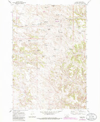
1970 Map of Sayle
USGS Topo · Published 1986About this map
Sayle serves as the primary point of settlement in this northern Montana landscape, located near the Coal Mine Reservoir and Road Reservoir. Much of the territory is managed as part of the Custer National Forest, where a complex network of man-made water features supports livestock and land management. The presence of numerous family-named landmarks like Kueffler Reservoir, Rainey Reservoir, and Wynkoop Reservoir suggests a history of private ranching interests deeply integrated with the public forest lands.
Find a feature on this map
45 named features on this map. Tap any name to fly to it.
Don’t see what you’re looking for? This feature index may not catch every label — zoom into the map to look around manually.
Map Details
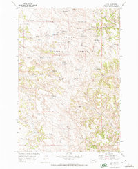
Editions of this 1970 Sayle Map
2 editions found
Other maps of this area

1954 · Hardin
USGS Topo · 1:250,000

1954 · Ekalaka
USGS Topo · 1:250,000

1956 · Ekalaka
USGS Topo · 1:250,000

1957 · Hardin
USGS Topo · 1:250,000

1958 · Ekalaka
USGS Topo · 1:250,000

1958 · Hardin
USGS Topo · 1:250,000

1965 · Ekalaka
USGS Topo · 1:250,000

1966 · Goodspeed Butte
USGS Topo · 1:24,000

1966 · Phillips Butte
USGS Topo · 1:24,000

1966 · Hodsdon Flats
USGS Topo · 1:24,000