
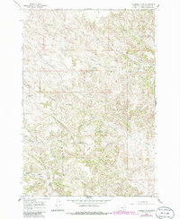
1966 Map of Hodsdon Flats
USGS Topo · Published 1969About this map
The Custer National Forest anchors this mid-1960s topographic survey of Powder River County, revealing a landscape defined by intermittent water sources and the varied topography of the Hodsdon Flats. The map documents a rugged cattle-country environment where life centers on managed water access, notably at Callaway Reservoir and Turtle Reservoir. Family names and local history are etched into the terrain through landmarks like Gardner Butte and Bailey Hill, as well as numerous named draws and prongs such as Mason Prong and Bloom Prong.
Find a feature on this map
34 named features on this map. Tap any name to fly to it.
Don’t see what you’re looking for? This feature index may not catch every label — zoom into the map to look around manually.
Map Details
Editions of this 1966 Hodsdon Flats Map
2 editions found
Other maps of this area

1954 · Ekalaka
USGS Topo · 1:250,000

1956 · Ekalaka
USGS Topo · 1:250,000

1958 · Ekalaka
USGS Topo · 1:250,000

1965 · Ekalaka
USGS Topo · 1:250,000

1966 · Sonnette
USGS Topo · 1:24,000

1966 · Phillips Butte
USGS Topo · 1:24,000

1966 · Threemile Buttes
USGS Topo · 1:24,000

1970 · Bloom Creek
USGS Topo · 1:24,000

1970 · Huckins School
USGS Topo · 1:24,000
1970 · Sayle
USGS Topo · 1:24,000