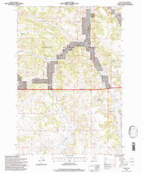
1995 Map of Otter
USGS Topo · Published 1998About this map
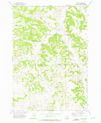
Custer National Forest lands dominate this landscape in southeastern Montana, revealing a topography defined by complex drainage systems and isolated water sources. The area is characterized by an extensive network of small-scale water management, including Lost Creek Reservoir, Rocky Draw Reservoir, and Boundary Reservoir. These catchments, along with named springs like Mud Springs, reflect the critical importance of water conservation in the Powder River country. The terrain is deeply dissected by seasonal draws and permanent streams, most notably Otter Creek and its many tributaries such as Bear Creek and Cub Creek. Evidence of local industry and infrastructure appears through scattered Gravel Pits and drill holes, while a network of 4WD trails provides the primary access through the broken terrain. The map captures the interface between public forest lands and private holdings, illustrating the remote and arid character of the region in the late twentieth century.
Find a feature on this map
24 named features on this map. Tap any name to fly to it.
Don’t see what you’re looking for? This feature index may not catch every label — zoom into the map to look around manually.
Map Details
Editions of this 1995 Otter Map
This is the sole edition of this map. No revisions or reprints were ever made.
Other maps of this area

1954 · Hardin
USGS Topo · 1:250,000

1957 · Hardin
USGS Topo · 1:250,000

1958 · Hardin
USGS Topo · 1:250,000

1966 · Goodspeed Butte
USGS Topo · 1:24,000

1966 · Poker Jim Butte
USGS Topo · 1:24,000

1966 · Fort Howes
USGS Topo · 1:24,000
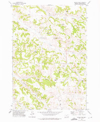
1972 · Reanus Cone
USGS Topo · 1:24,000
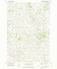
1972 · Bear Creek School
USGS Topo · 1:24,000
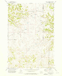
1972 · Hamilton Draw
USGS Topo · 1:24,000
1972 · Otter
USGS Topo · 1:24,000