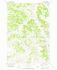
1972 Map of Otter
USGS Topo · Published 1976About this map
Custer National Forest dominates this section of Powder River County, where the settlement of Otter serves as a lone hub in a landscape defined by drainage networks and livestock management. This 1972 field-checked survey reveals a sophisticated water conservation system in a semi-arid region, evidenced by numerous named catchments like Lost Creek Reservoir, Happy Coulee Reservoir, and Rocky Draw Reservoir. These features, often paired with isolated wells and drill holes, illustrate the infrastructure required for ranching within the national forest boundaries.
Find a feature on this map
25 named features on this map. Tap any name to fly to it.
Don’t see what you’re looking for? This feature index may not catch every label — zoom into the map to look around manually.
Map Details
Editions of this 1972 Otter Map
2 editions found
Other maps of this area

1954 · Hardin
USGS Topo · 1:250,000

1957 · Hardin
USGS Topo · 1:250,000

1958 · Hardin
USGS Topo · 1:250,000

1966 · Goodspeed Butte
USGS Topo · 1:24,000

1966 · Poker Jim Butte
USGS Topo · 1:24,000

1966 · Fort Howes
USGS Topo · 1:24,000
1972 · Reanus Cone
USGS Topo · 1:24,000
1972 · Bear Creek School
USGS Topo · 1:24,000
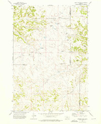
1972 · Hamilton Draw
USGS Topo · 1:24,000
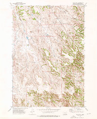
1972 · Sayle Hall
USGS Topo · 1:24,000