
1966 Map of Fort Howes
USGS Topo · Published 1969About this map
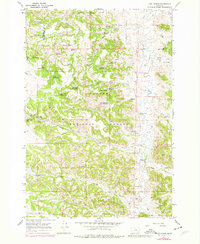
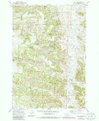
The Fort Howes (Historical Site) anchors this mid-century survey of the rugged cattle country along the Rosebud and Powder River county line. As a central point in the Custer National Forest, the area is defined by a complex network of ephemeral drainages and vital water improvements necessary for ranching in this arid landscape. Numerous man-made features like the Simon Reservoir, Dunning Reservoir, and Coal Creek Reservoir are scattered throughout the hills, alongside dozens of named springs such as Paget Spring No 1 and Gate Creek Spring No 1. The presence of the Otter Creek Sch and the Fort Howes Ranger Station along the banks of Otter Creek indicates the social and administrative hubs of this sparsely populated range during the late 1960s.
Find a feature on this map
56 named features on this map. Tap any name to fly to it.
Don’t see what you’re looking for? This feature index may not catch every label — zoom into the map to look around manually.
Map Details
Editions of this 1966 Fort Howes Map
3 editions found
Other maps of this area

1954 · Hardin
USGS Topo · 1:250,000

1957 · Hardin
USGS Topo · 1:250,000

1958 · Hardin
USGS Topo · 1:250,000

1966 · Goodspeed Butte
USGS Topo · 1:24,000

1966 · Poker Jim Butte
USGS Topo · 1:24,000

1966 · King Mountain
USGS Topo · 1:24,000
1966 · Green Creek
USGS Topo · 1:24,000
1967 · Yager Butte
USGS Topo · 1:24,000
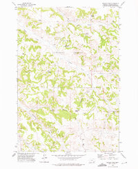
1972 · Reanus Cone
USGS Topo · 1:24,000
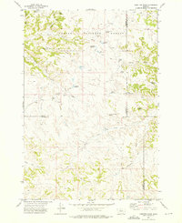
1972 · Hamilton Draw
USGS Topo · 1:24,000