
1966 Map of King Mountain
USGS Topo · Published 1969About this map
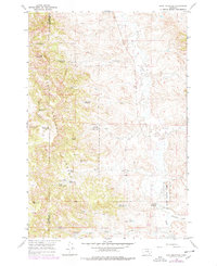
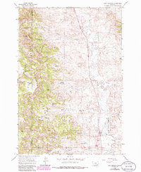
Custer National Forest dominates the western half of this mid-1960s survey, where the rugged topography of King Mountain gives way to a complex system of drainage and water management. The landscape is defined by its arid character and the resulting infrastructure of small-scale water collection, including Chromo Reservoir, Newell Creek Reservoir, and a series of numbered catchments like Paget Reservoir No 1. These features, along with numerous named springs such as Page Spring and Brian Spring No 1, point to the critical importance of water for livestock and land use in this part of Rosebud and Powder River Counties. To the east, the terrain levels out towards Otter Creek and its tributaries, including Fifteenmile Creek and Tenmile Creek, showing a transition from the forested highlands into the open ranching country typical of southeastern Montana.
Find a feature on this map
39 named features on this map. Tap any name to fly to it.
Don’t see what you’re looking for? This feature index may not catch every label — zoom into the map to look around manually.
Map Details
Editions of this 1966 King Mountain Map
3 editions found
Other maps of this area

1954 · Hardin
USGS Topo · 1:250,000

1957 · Hardin
USGS Topo · 1:250,000

1958 · Hardin
USGS Topo · 1:250,000

1966 · Goodspeed Butte
USGS Topo · 1:24,000

1966 · Coleman Draw
USGS Topo · 1:24,000

1966 · Ashland
USGS Topo · 1:24,000

1966 · Poker Jim Butte
USGS Topo · 1:24,000

1966 · Fort Howes
USGS Topo · 1:24,000

1966 · Willow Crossing
USGS Topo · 1:24,000
1966 · Green Creek
USGS Topo · 1:24,000