
1966 Map of Willow Crossing
USGS Topo · Published 1970About this map
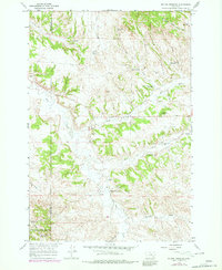
Custer National Forest encompasses much of this landscape along the Rosebud and Powder River County line, where the terrain is defined by a network of ephemeral creeks and managed water resources. Central to the area is the settlement of Willow Crossing, situated near the Willow Crossing Cem and the Stevens Landing Area. The map reveals a mid-century landscape of industrial and recreational activity, featuring the Coal Creek Mine and numerous gravel pits alongside the Red Shale Campground.
Find a feature on this map
33 named features on this map. Tap any name to fly to it.
Don’t see what you’re looking for? This feature index may not catch every label — zoom into the map to look around manually.
Map Details
Editions of this 1966 Willow Crossing Map
3 editions found
Other maps of this area

1954 · Hardin
USGS Topo · 1:250,000

1957 · Hardin
USGS Topo · 1:250,000

1958 · Hardin
USGS Topo · 1:250,000

1966 · Coleman Draw
USGS Topo · 1:24,000

1966 · Ashland
USGS Topo · 1:24,000

1966 · Beaver Creek School
USGS Topo · 1:24,000

1966 · Cook Creek Reservoir
USGS Topo · 1:24,000

1966 · King Mountain
USGS Topo · 1:24,000

1966 · Ashland NE
USGS Topo · 1:24,000
1966 · Green Creek
USGS Topo · 1:24,000